BLM30091
Total Miles
2.9
Technical Rating
Best Time
Spring, Summer, Fall, Winter
Trail Type
Full-Width Road
Accessible By
Trail Overview
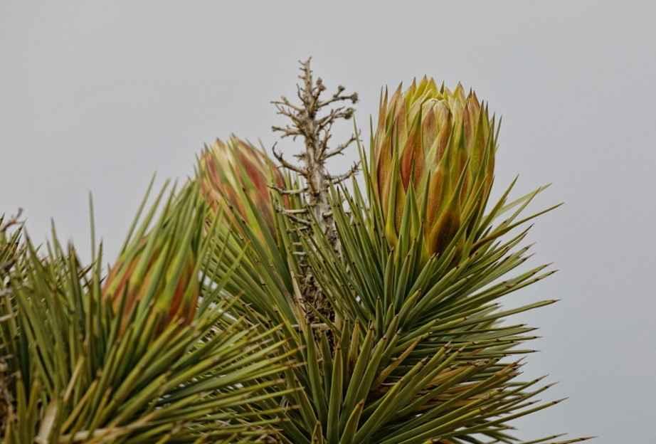
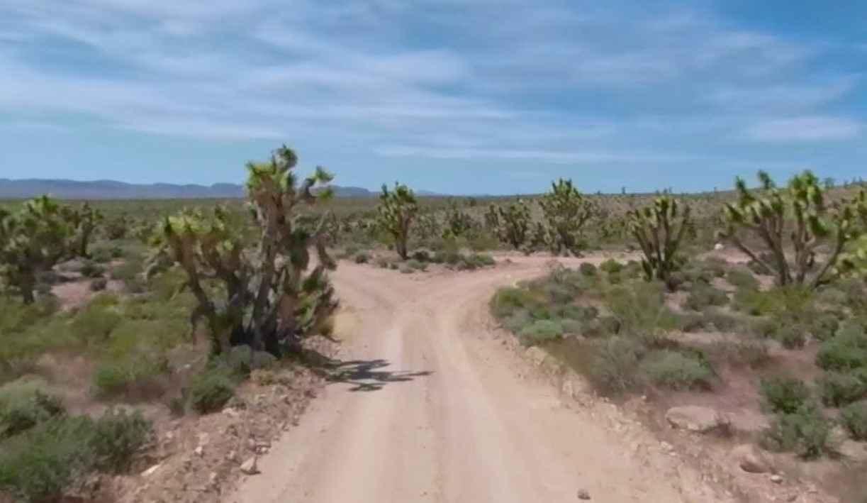
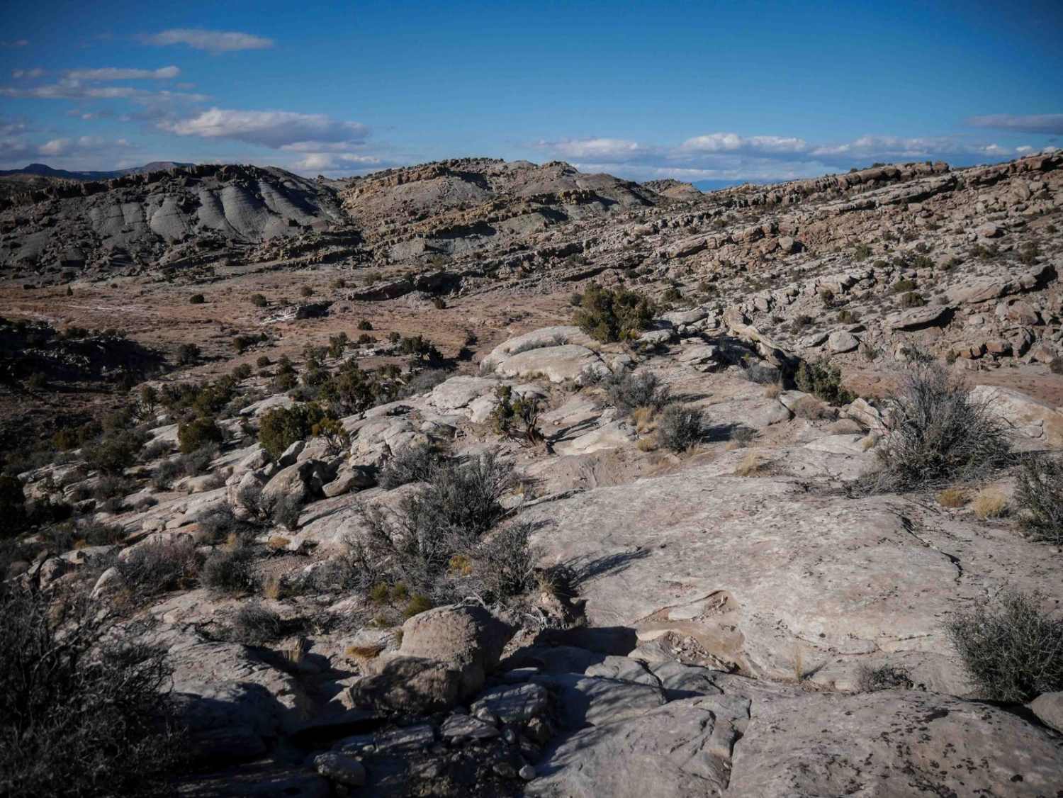
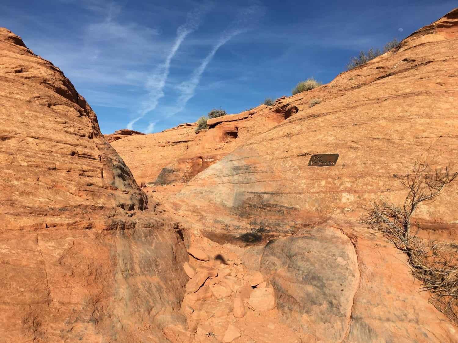
BLM30091 is a 2.9-mile point-to-point single-track trail within the Beaver Dam Wash National Conservation Area. It is rated 3 of 10 as it is not maintained by the BLM. The trail connects Water Trough Road-BLM30084 with Waterline Road-BLM30086. This trail crosses the alluvial plain of the Beaver Dam Mountains. This trail was originally developed as part of the BLM land management and grazing program before the NCA was developed. The lowest point in Utah is located just west of the trail within the Beaver Dam Wash where it crosses the border into Arizona. Travelers may come across the desert tortoise, bighorn sheep, Joshua trees, and other threatened and sensitive species. Surface water flows in the upper reaches of Beaver Dam Wash, but rarely travels all the way through the NCA. Cell phone coverage will be spotty and the nearest services are located in Beaver Dam.
Photos of BLM30091
Difficulty
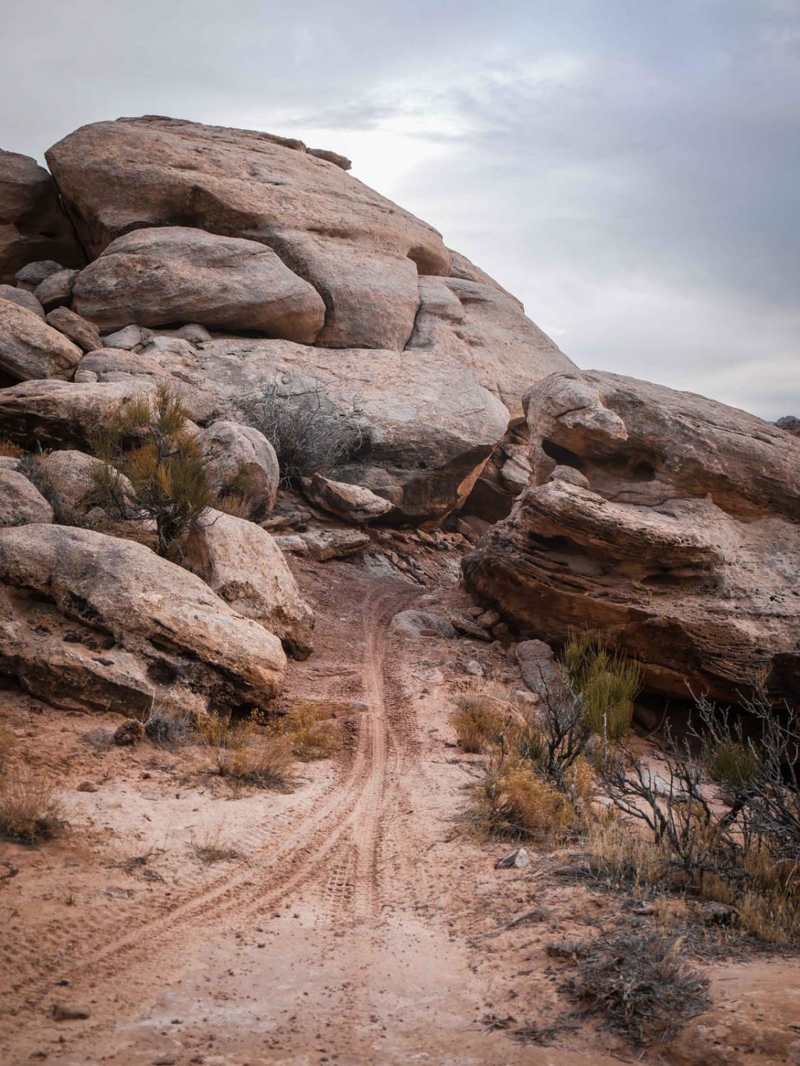
The trail consists of loose rocks, dirt, and sand with some slick rock surfaces and mud holes possible. No steps are higher than 12 inches. 4WD may be required, and aggressive tires are a plus.
Status Reports

Popular Trails

Monks Hollow Connector #318
The onX Offroad Difference
onX Offroad combines trail photos, descriptions, difficulty ratings, width restrictions, seasonality, and more in a user-friendly interface. Available on all devices, with offline access and full compatibility with CarPlay and Android Auto. Discover what you’re missing today!