Monks Hollow Connector #318
Total Miles
3.1
Technical Rating
Best Time
Spring, Summer, Fall
Trail Type
50" Trail
Accessible By
Trail Overview
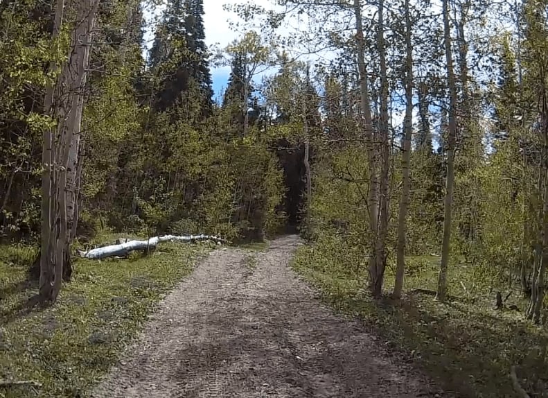
Monks Hollow Connector is a 3.1-mile-long ATV trail for 50-inch vehicles in the Uinta National Forest. It goes from the Long Hollow ATV trail to near the top of Teat Mountain at 8,300 feet of elevation. The trail is an overgrown and narrow two-track that has a jarring and choppy surface full of loose small rocks. It's windy and slower, with steeper spots as the trail crosses the hillsides. It has really nice views of snow-capped mountains in springtime. The hardest part of the trail is several tighter switchbacks that can be steep and full of loose rocks on the surface. The trail is slightly off-camber at times where one side of the track is lower, as it is probably more often ridden by dirt bikes. It gets up high on a ridgeline with awesome views of the surrounding mountains.
Photos of Monks Hollow Connector #318


Difficulty
This is an intermediate trail for ATVs because of tighter switchbacks and a rocky surface, but it could be easier for dirt bikes. It could be kind of tight for ATVs in spots with lots of overgrown branches.
Monks Hollow Connector #318 can be accessed by the following ride types:
- ATV (50")
- Dirt Bike
Monks Hollow Connector #318 Map
Popular Trails
Skutumpah Road North BLM 500
Hidden Hollow Loop
Exiting Manti Canyon

Water Trough Road-BLM30084
The onX Offroad Difference
onX Offroad combines trail photos, descriptions, difficulty ratings, width restrictions, seasonality, and more in a user-friendly interface. Available on all devices, with offline access and full compatibility with CarPlay and Android Auto. Discover what you’re missing today!