Toll Road to Steve's Pass
Total Miles
6.3
Elevation
2,156.17 ft
Duration
--
Technical Rating
Best Time
Spring, Summer, Fall
Trail Overview
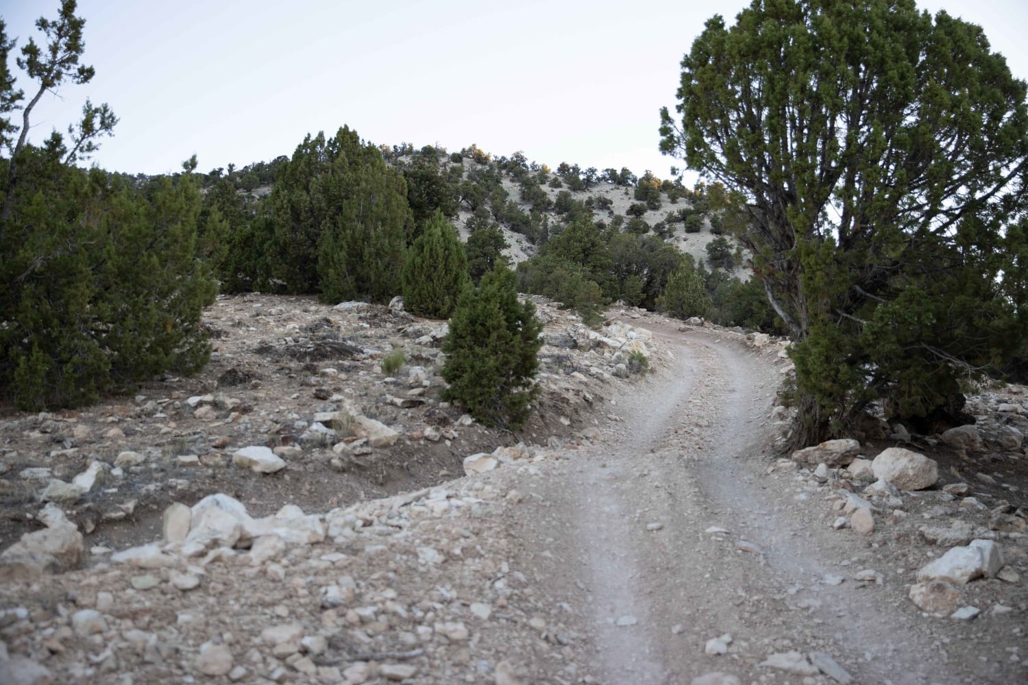
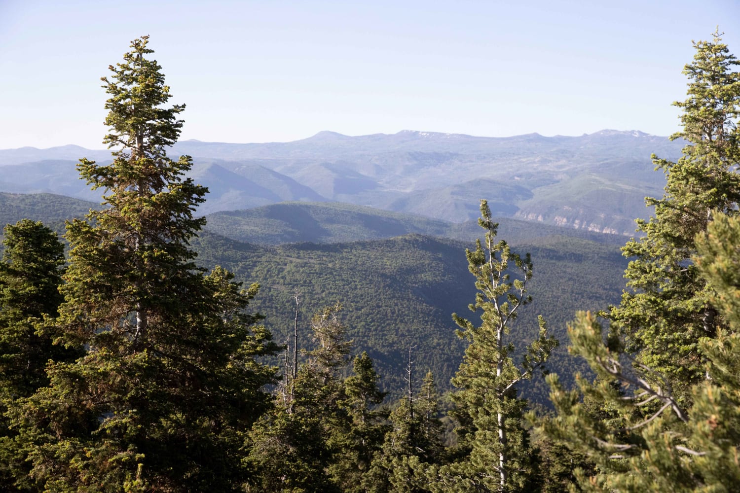
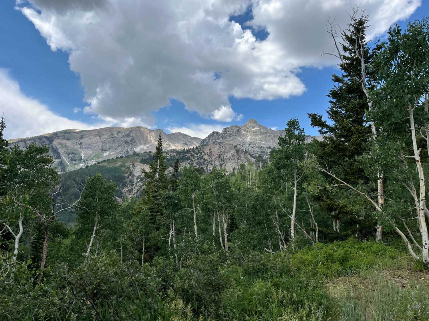
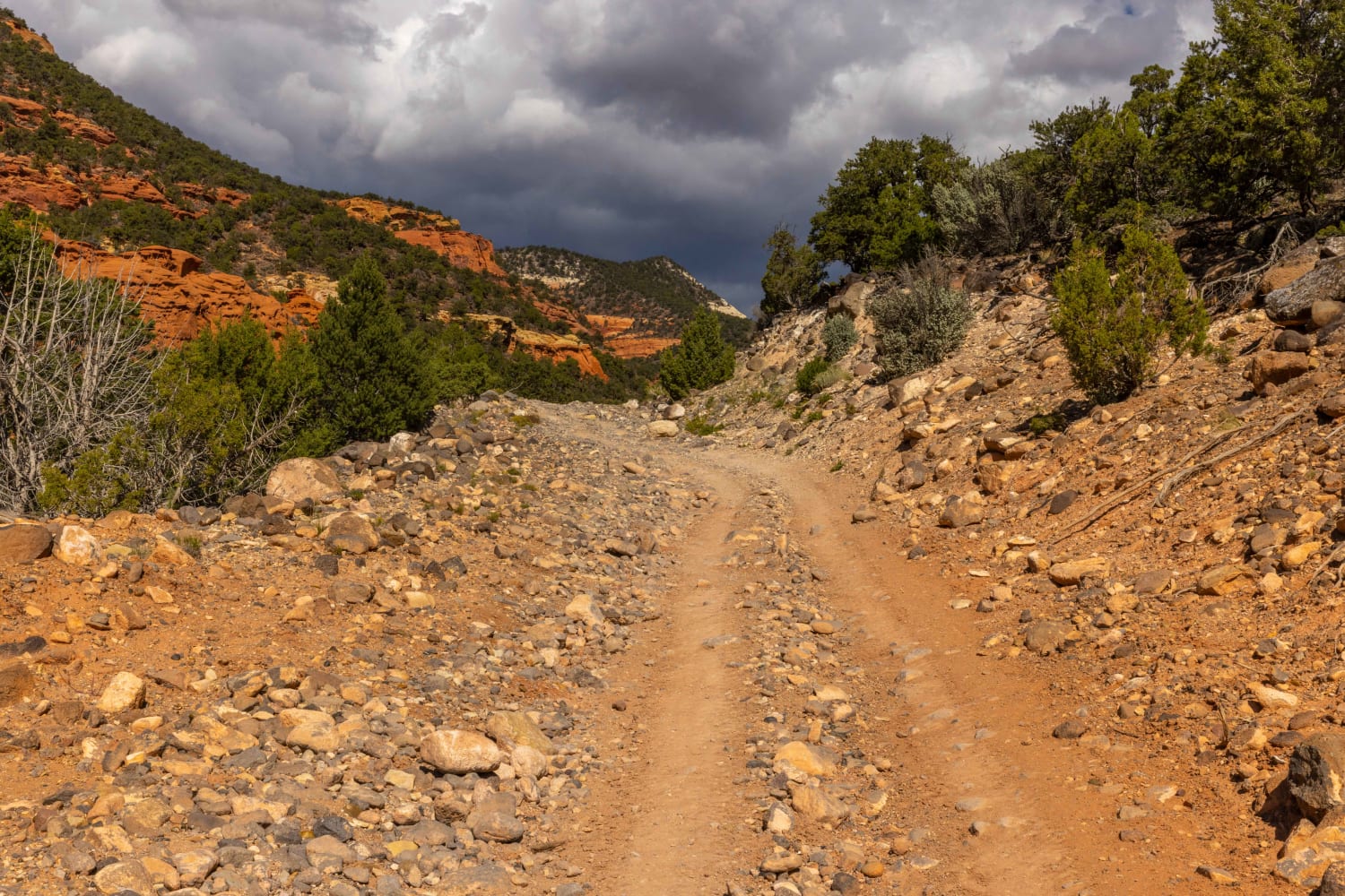
The Southern trail head is approximately 5 miles East of Salina, UT. Access is off the I-70 frontage road where access can be made via to small tunnels under the freeway. It is not a difficult trail, although there are some steep inclines of shale and clay. The trail can be slick in inclement weather. The terrain is diverse with covering cedar trees and thick pine groves. Lower elevations are red and white clay covered with shale. There are several grassy and sage brush covered flats. Several species of wildlife can be found here. Mule Deer, elk, coyote, rabbits. The North end of the trail ends at Willow Creek road. There are a couple of trails along the way which connect to Cedar Mountain or the Post Road.
Photos of Toll Road to Steve's Pass
Difficulty
The main trail is relatively easy. Some of the offshoot trails can be slightly more technical.
Status Reports
Popular Trails
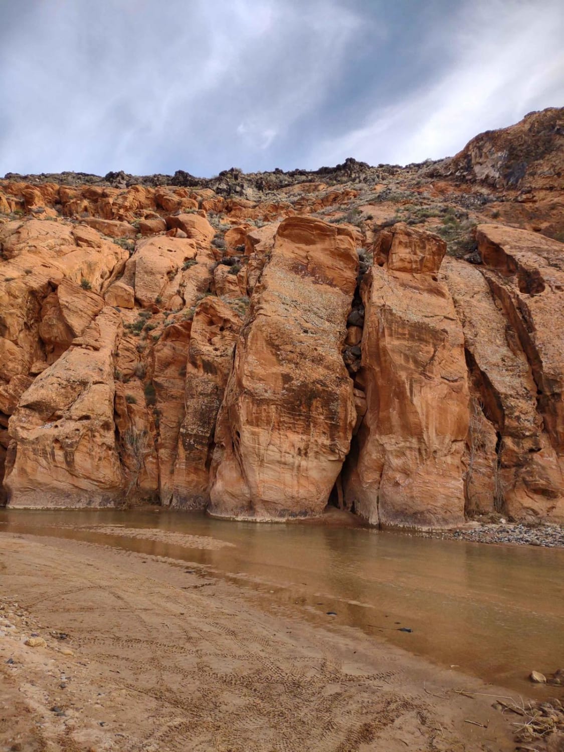
Red Cliffs Rec Area to Virgin River
Loa Great Western Trail
Temple Mountain Road
The onX Offroad Difference
onX Offroad combines trail photos, descriptions, difficulty ratings, width restrictions, seasonality, and more in a user-friendly interface. Available on all devices, with offline access and full compatibility with CarPlay and Android Auto. Discover what you’re missing today!
