Buck Ridge Cut-Across (FS 4058/Paiute D-3/1A)
Total Miles
5.6
Elevation
3,129.94 ft
Duration
0.5 Hours
Technical Rating
Best Time
Spring, Summer, Fall
Trail Overview
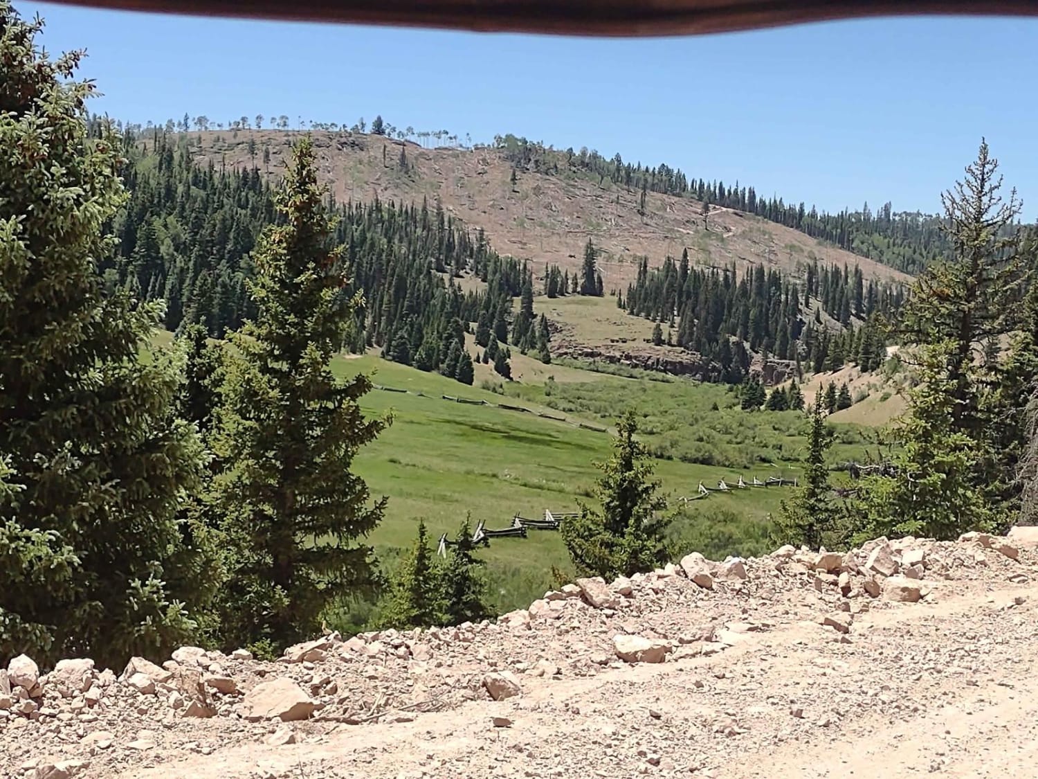
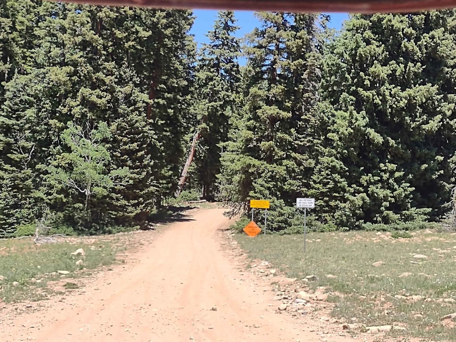
Buck Ridge Cut-Across drops down through the valley just north of Buck Ridge. It is a good road because it's also used by loggers in the summertime. They're cleaning out burned/dead trees, salvaging what's usable, and piling the trash to be burned some cold wintery day. You drop from over 10,000 feet down to 8,600 feet. The views are being improved by the logging operations, for sure. In the near future, the regrowth will be amazing. The road is dusty, but not terribly steep or difficult as long as it's dry. If it's muddy, this will be a mess because of the fine dust. Above and below where the fire happened, the forest is healthy, vibrant, and beautiful. At the bottom of the trail, you find the Three Creeks Reservoir. This is an easy trail, full-width with room to meet another vehicle, as long as it's not a logging truck. Off-roading requirements in Utah include the online education course certificate and an OHV sticker.
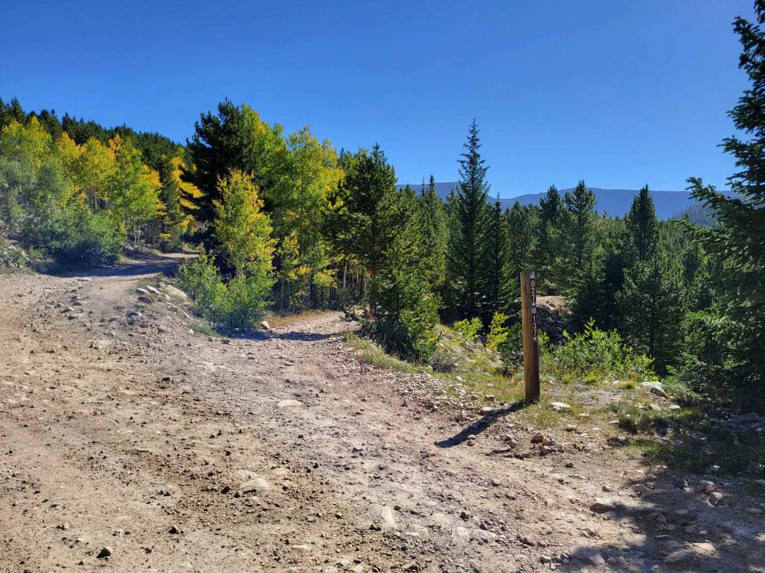
Photos of Buck Ridge Cut-Across (FS 4058/Paiute D-3/1A)
Difficulty
When it's dry, this trail is a 2. If muddy, it would rate higher. There's a significant loss of elevation, but it's not terribly steep. Dust is a bigger problem than rocks.
Status Reports
Popular Trails
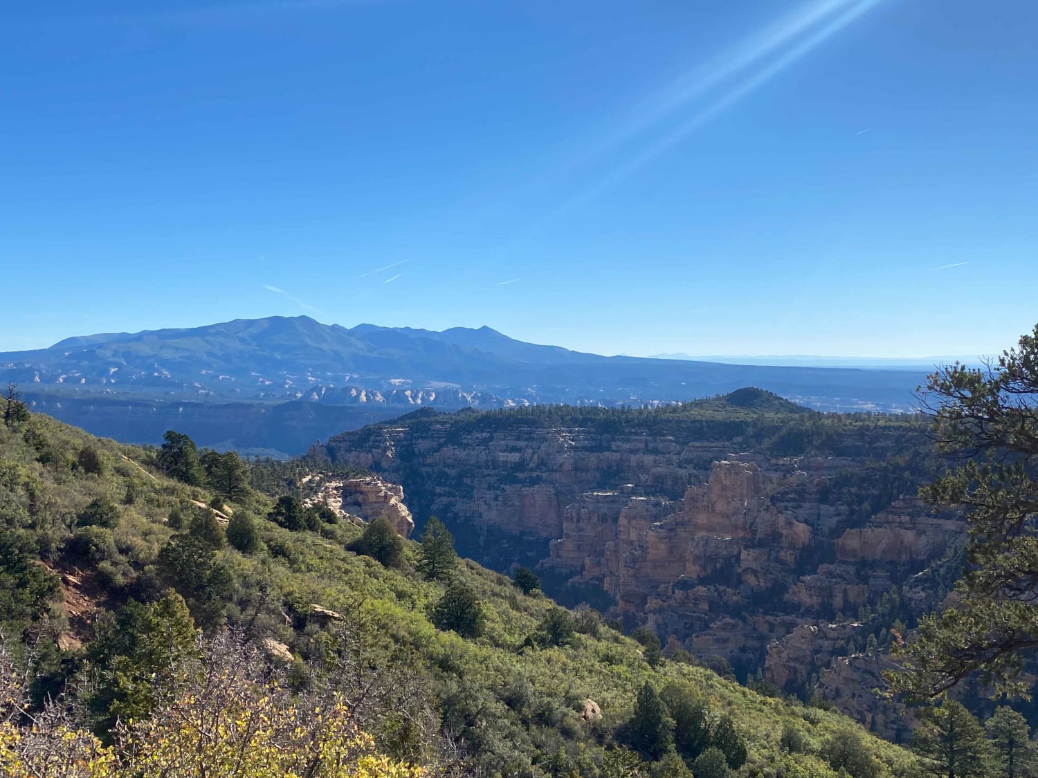
Elk Ridge Shelf Road
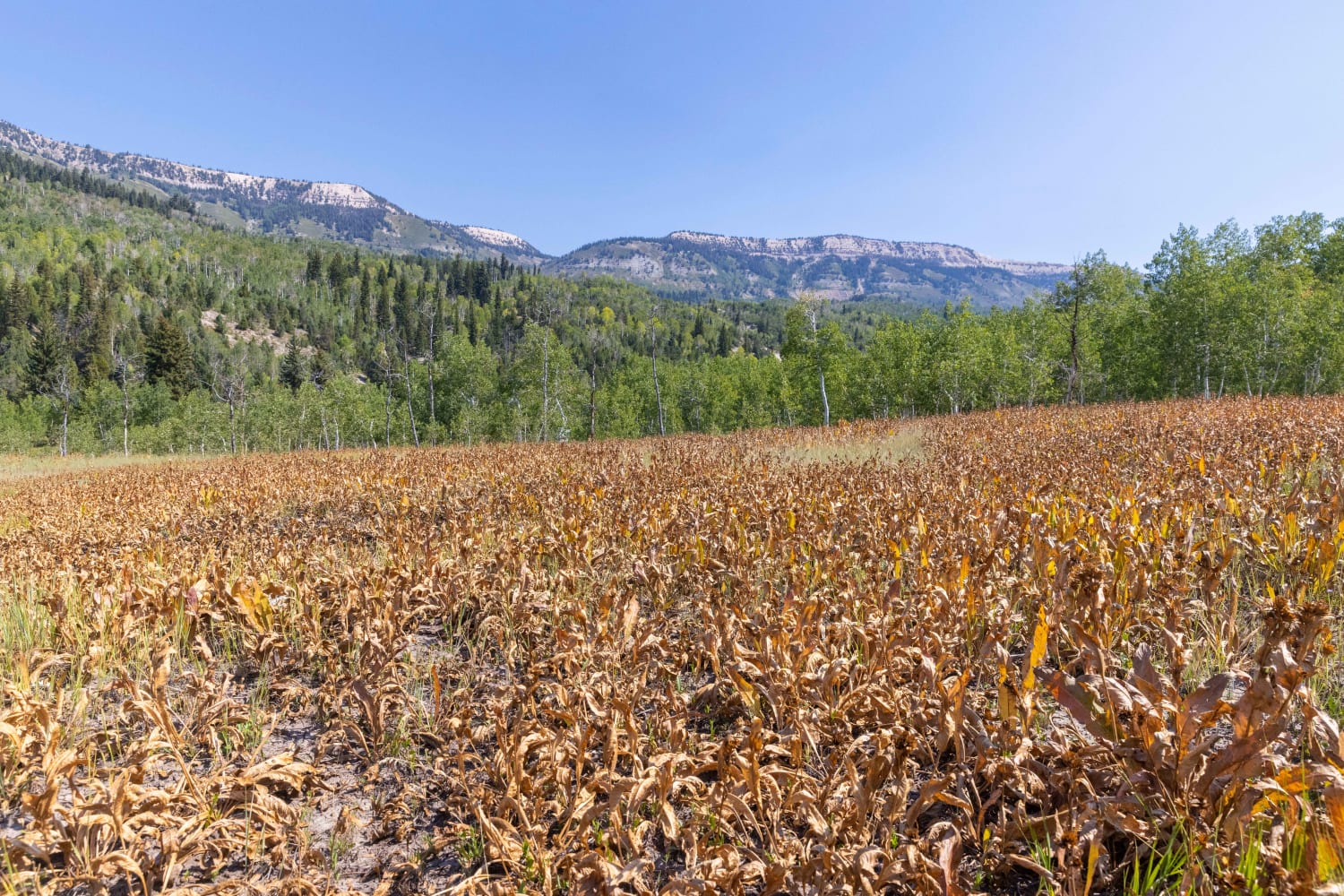
Pinchot to Cowboy Camp Trail
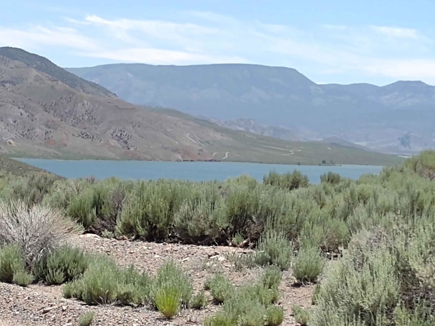
Marysvale to Piute Reservoir Dam
The onX Offroad Difference
onX Offroad combines trail photos, descriptions, difficulty ratings, width restrictions, seasonality, and more in a user-friendly interface. Available on all devices, with offline access and full compatibility with CarPlay and Android Auto. Discover what you’re missing today!
