Burnt Hill
Total Miles
2.1
Technical Rating
Best Time
Spring, Summer, Fall
Trail Type
High-Clearance 4x4 Trail
Accessible By
Trail Overview
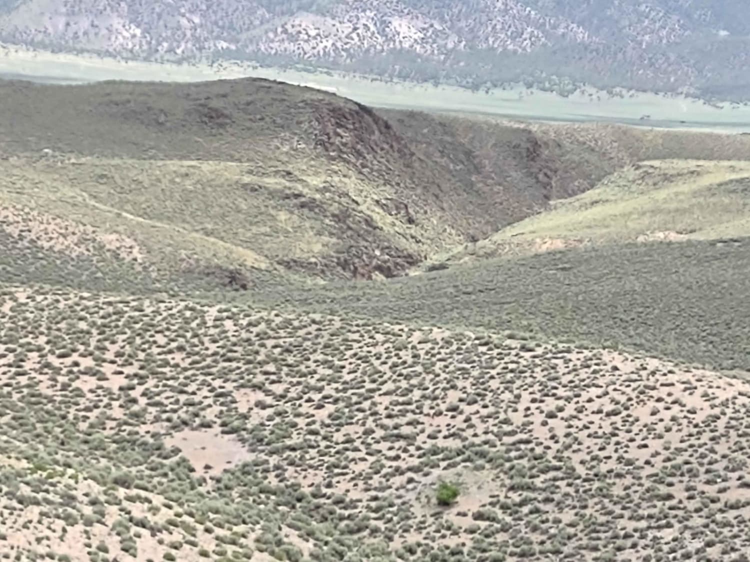
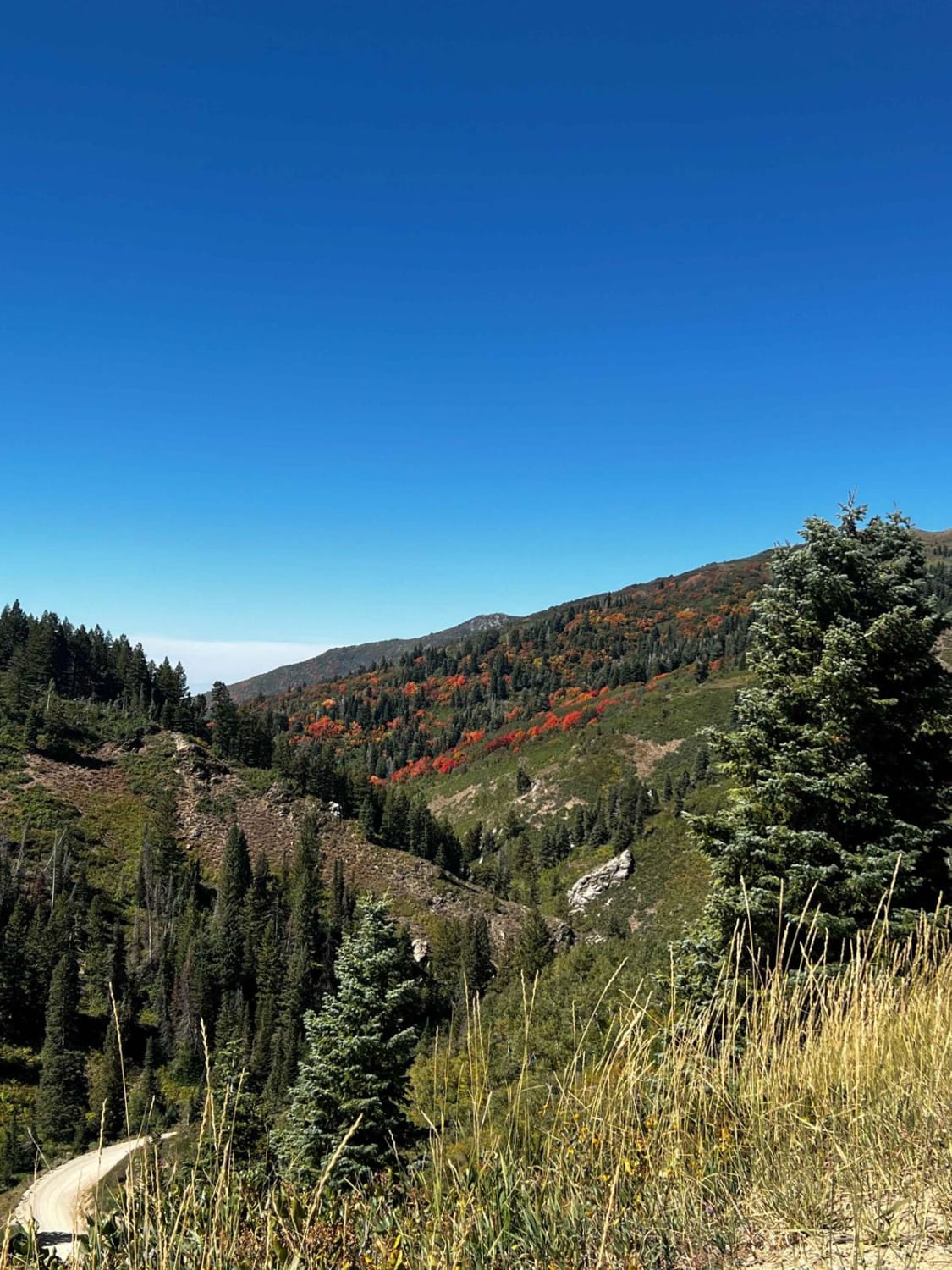
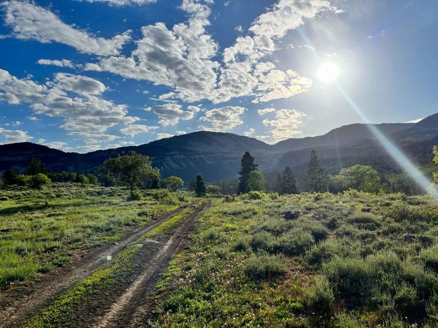
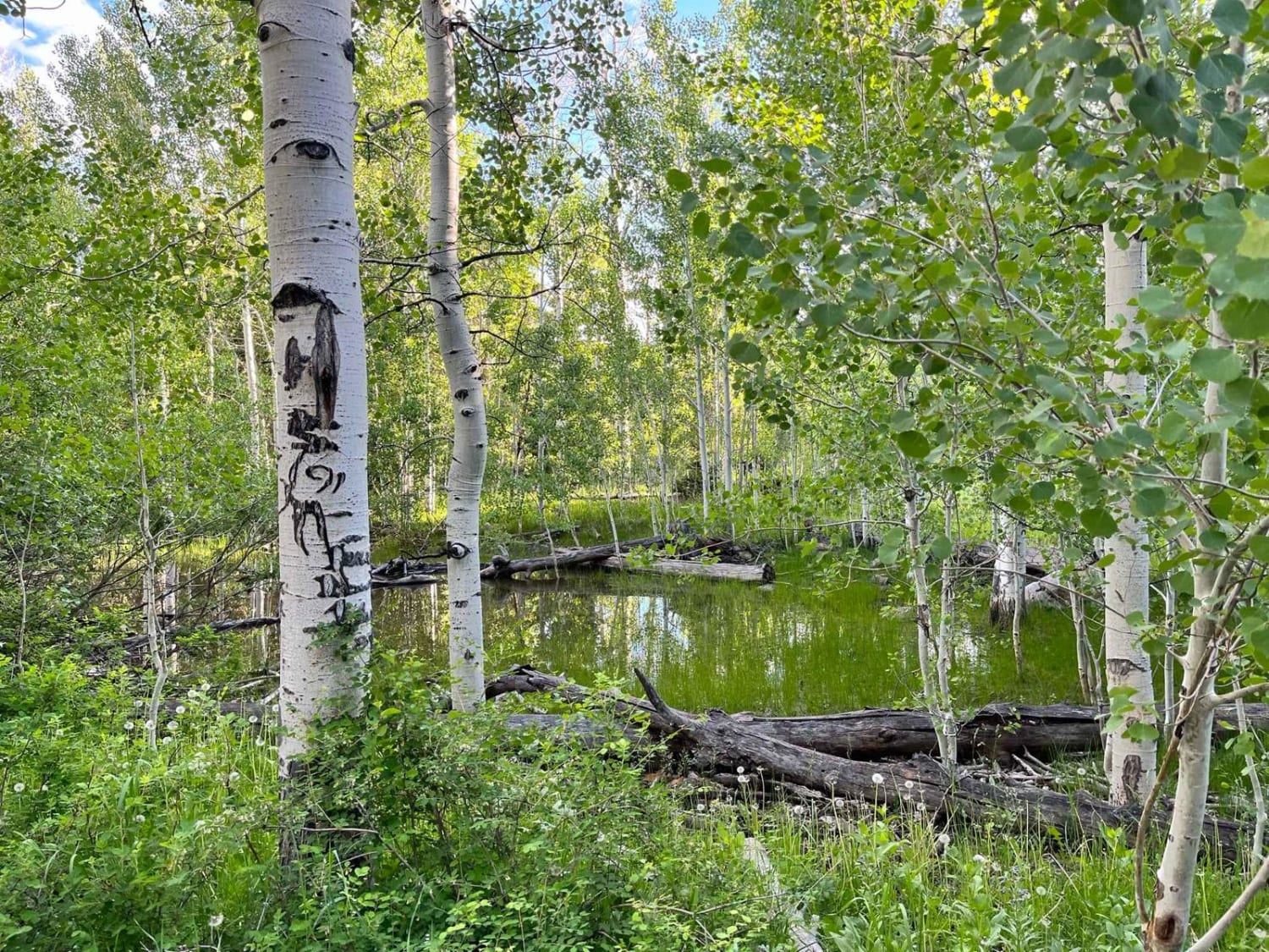
From the bottom, this trail begins in dense pine and quaking groves but quickly bursts out into open, green pastoral fields that present majestic white cliffs to the south, sweeping vistas to the valley below on the west, and inspiring views of the mountains to the east that are beckoning to you to explore their many views. The trail ends with a choose-your-own-adventure water crossing where you can try to blast through the mud bog, or daintily pick your way across on carefully placed logs and rocks. The last bit of the trail is sandy creek beds and has some very shallow crossings.
Photos of Burnt Hill
Difficulty
Most of this trail is very easy. There is one water crossing that can be deep and muddy or shallow depending on where you decide to cross.
Status Reports
Popular Trails

Wildlife Excursion

Summerville Cutoff

Bridger Jack Mesa

Francis Peak Road (FS 009)
The onX Offroad Difference
onX Offroad combines trail photos, descriptions, difficulty ratings, width restrictions, seasonality, and more in a user-friendly interface. Available on all devices, with offline access and full compatibility with CarPlay and Android Auto. Discover what you’re missing today!


