Cedar Mountain
Total Miles
2.7
Technical Rating
Best Time
Spring, Fall, Winter
Trail Type
Single Track
Accessible By
Trail Overview
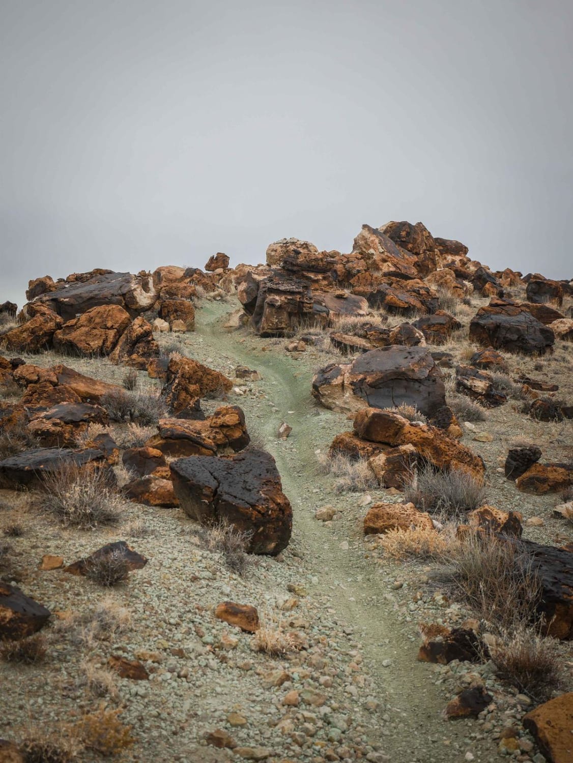
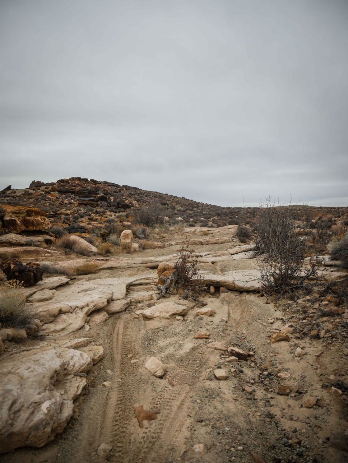
Cedar Mountain is a 2.7-mile-long single track that is part of the Sovereign Single Track System. From the south, it starts by climbing up a desert mesa with chunky volcanic rocks, then winds through big volcanic boulders. Throughout the trail, it goes up and down lots of rolling desert mesas, with lots of tight maneuvering with moderate rock ledge obstacles. The trail is full of slab slickrock, chossy sections of loose rock, and lots of chunky embedded rock that makes for a bumpy ride. There are fast sections in between the harder sections while on the side of the mesas as it goes along a rim. There are nice views along the edge of the mesa in this scenic landscape. It crosses an intersection with Sovereign Single Track that will take you toward the harder trail, Terrys. After this intersection going north, the trail has a couple of easy switchbacks that are wide and smooth, and lots of windy sections and small ledges. The trail goes right next to several huge fissures in the ground that are cool to see, and scenic green dirt. This is a fun one to ride, and you can make it a loop with the next segment of Cedar Mountain Canyon.
Photos of Cedar Mountain
Difficulty
This is an intermediate desert singletrack with moderate features such as moderate rock ledges, exposed sections of trail, and lots of embedded and loose rock.
Popular Trails

Warm-up for Edge of the World - Single Track
Pinchot Trail
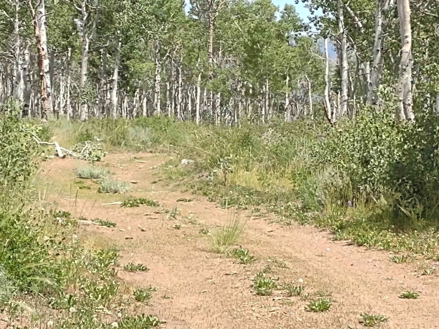
Monroe Mountain Road Spur Loop (FS 41178)
The onX Offroad Difference
onX Offroad combines trail photos, descriptions, difficulty ratings, width restrictions, seasonality, and more in a user-friendly interface. Available on all devices, with offline access and full compatibility with CarPlay and Android Auto. Discover what you’re missing today!
