Cedar Rocks Road
Total Miles
3.1
Elevation
2,243.82 ft
Duration
--
Technical Rating
Best Time
Fall, Summer, Spring
Trail Overview
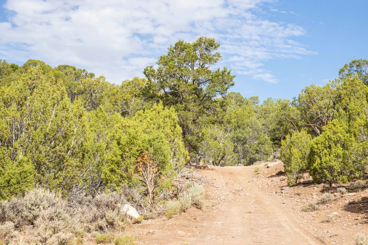
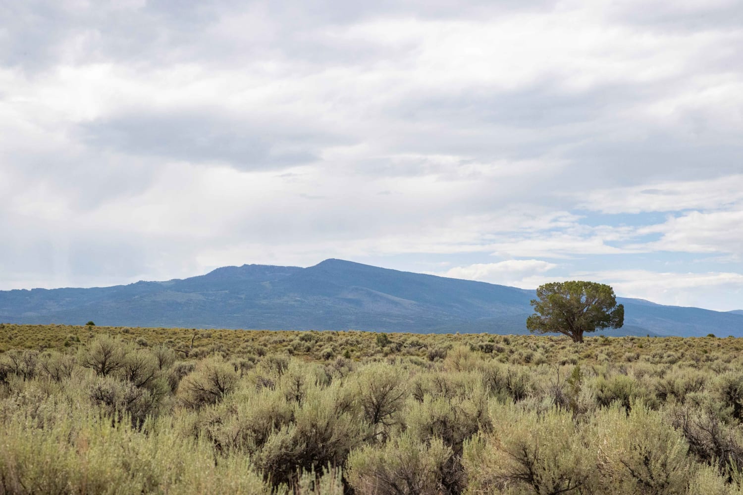
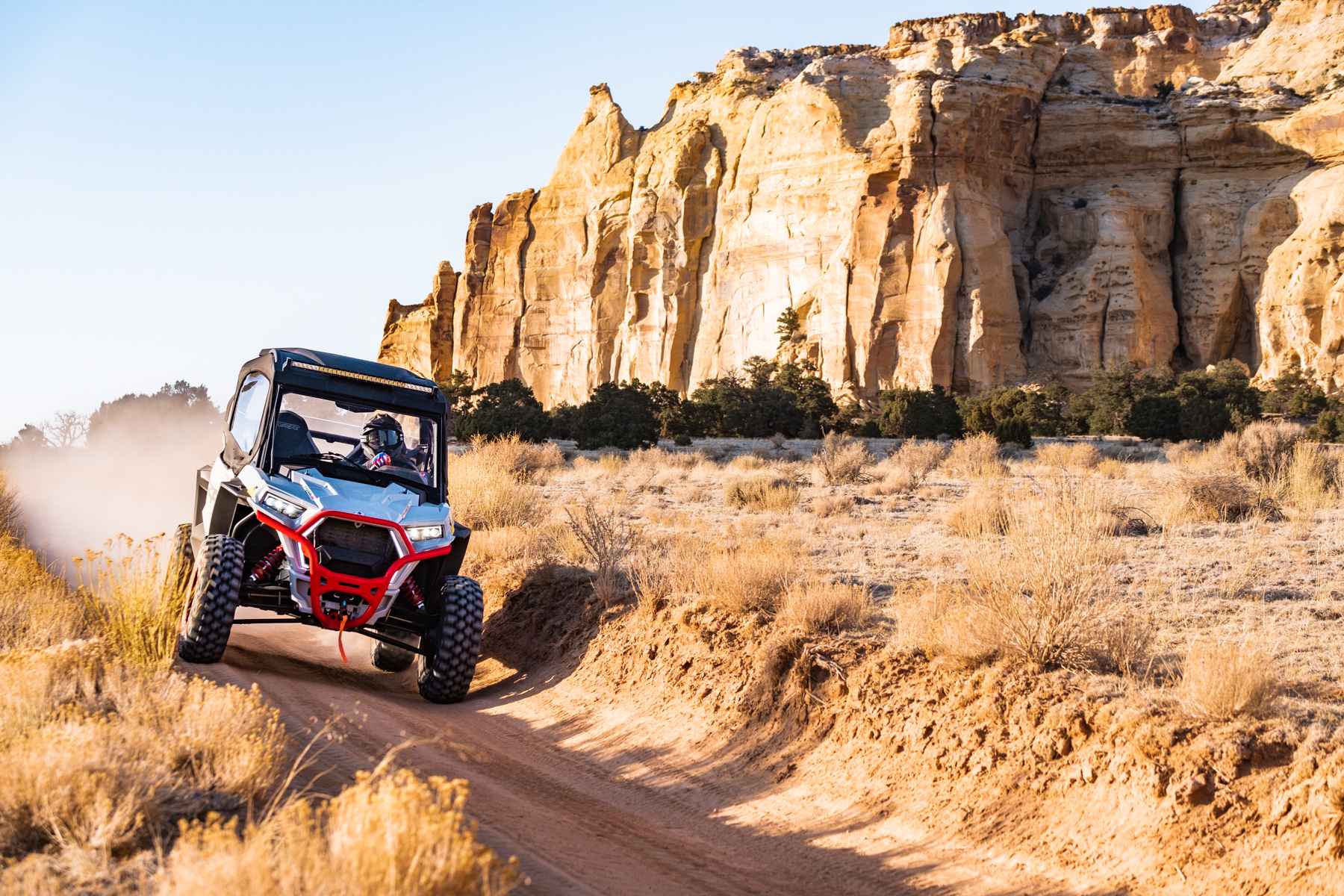
Cedar Rocks Road passes through a large sage brush flat towards the East end and descends into a rocky, winding path through cedar trees on the West end. Many species of wildlife can be found here depending upon time of year and day. The area can be rife with mule deer and elk. Incredible views of the Fish Lake Plateau can be had from the sage brush flats. Erosion is taking its toll and quickly making this into a ATV/UTV trail as trees encroach making the road too narrow for vehicles.
Photos of Cedar Rocks Road
Difficulty
The top portion of the trail is reletively easy going other than the occasional rock patch. As the trail descends through the Cedar trees erosion is more evident and the path through the trees becomes narrower. THis makes use oof a full size vehicle much trickier.
Status Reports
Popular Trails
North Spur Sand Well Loop
Sinbad Valley Arch and Petroglyphs Loop

BLM1443 - Davis Canyon Road
The onX Offroad Difference
onX Offroad combines trail photos, descriptions, difficulty ratings, width restrictions, seasonality, and more in a user-friendly interface. Available on all devices, with offline access and full compatibility with CarPlay and Android Auto. Discover what you’re missing today!
