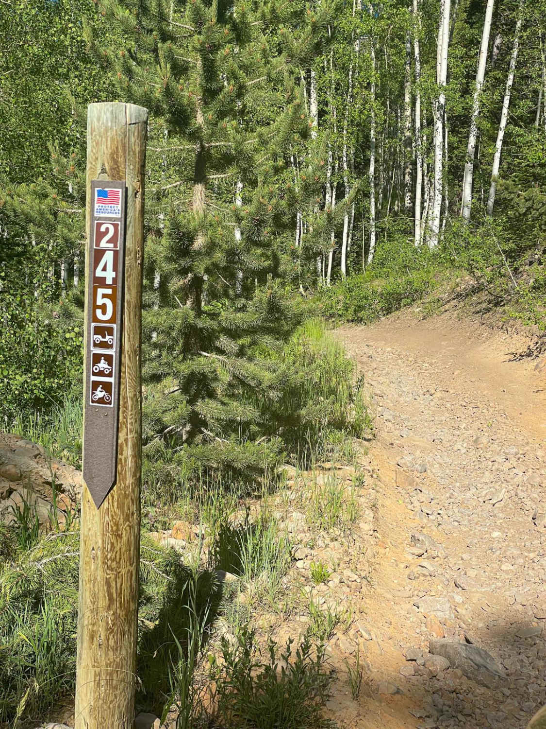
Chicken Cr (FS 70245)
Total Miles
9.6
Technical Rating
Best Time
Summer, Fall
Trail Type
Full-Width Road
Accessible By
Trail Overview
Chicken Cr is a nearly 9-mile Forest Service road that runs north and south through alpine meadows, and pine and aspen forests. Starting from the north end, you'll find a series of narrow gravel switchbacks as the trail climbs up over 600 feet in nearly a half mile. There are plenty of things to see and explore from Chicken Cr including magnificent views of Strawberry Reservoir and access to the conglomerate cliffs of Red Ledge. There are also a couple of quite small water crossings, depending on the season. On the south end of the trail are long stretches of brush that are almost guaranteed to leave some serious pin-striping on all but the narrowest of vehicles. Other noteworthy sections include deep ruts, roots, and softball-sized loose rock. Be aware, that cell service is very limited or spotty at best. There is also a gate on the south end of the trail that may be closed.
Photos of Chicken Cr (FS 70245)

Difficulty
Uneven, dirt trail with loose rocks ranging from a softball to a melon. Very deep ruts on the south end of the trail. There are several low water crossings, less than a foot deep. The road is typically one vehicle wide with very few places to pass or turn around.
Status Reports
Chicken Cr (FS 70245) can be accessed by the following ride types:
- High-Clearance 4x4
- SUV
- SxS (60")
- ATV (50")
- Dirt Bike
Chicken Cr (FS 70245) Map
Popular Trails
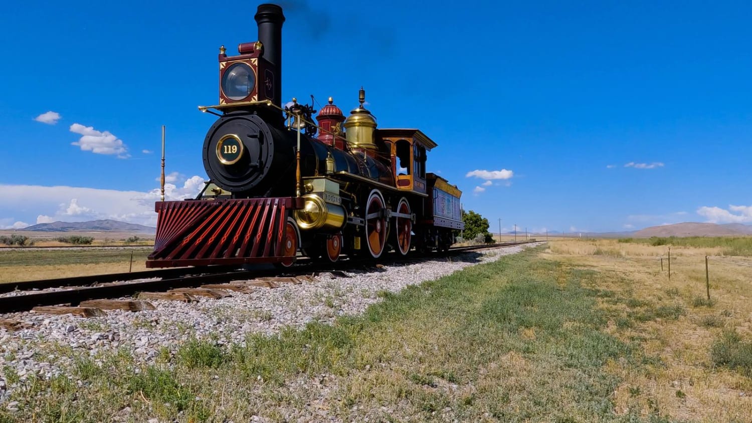
Golden Spike Auto Tour, Transcontinental Railroad Byway


Hastings Cut Off to Dell

Gemini Bridges
The onX Offroad Difference
onX Offroad combines trail photos, descriptions, difficulty ratings, width restrictions, seasonality, and more in a user-friendly interface. Available on all devices, with offline access and full compatibility with CarPlay and Android Auto. Discover what you’re missing today!