Jocks Canyon
Total Miles
2.6
Technical Rating
Best Time
Spring, Summer, Fall
Trail Type
Single Track
Accessible By
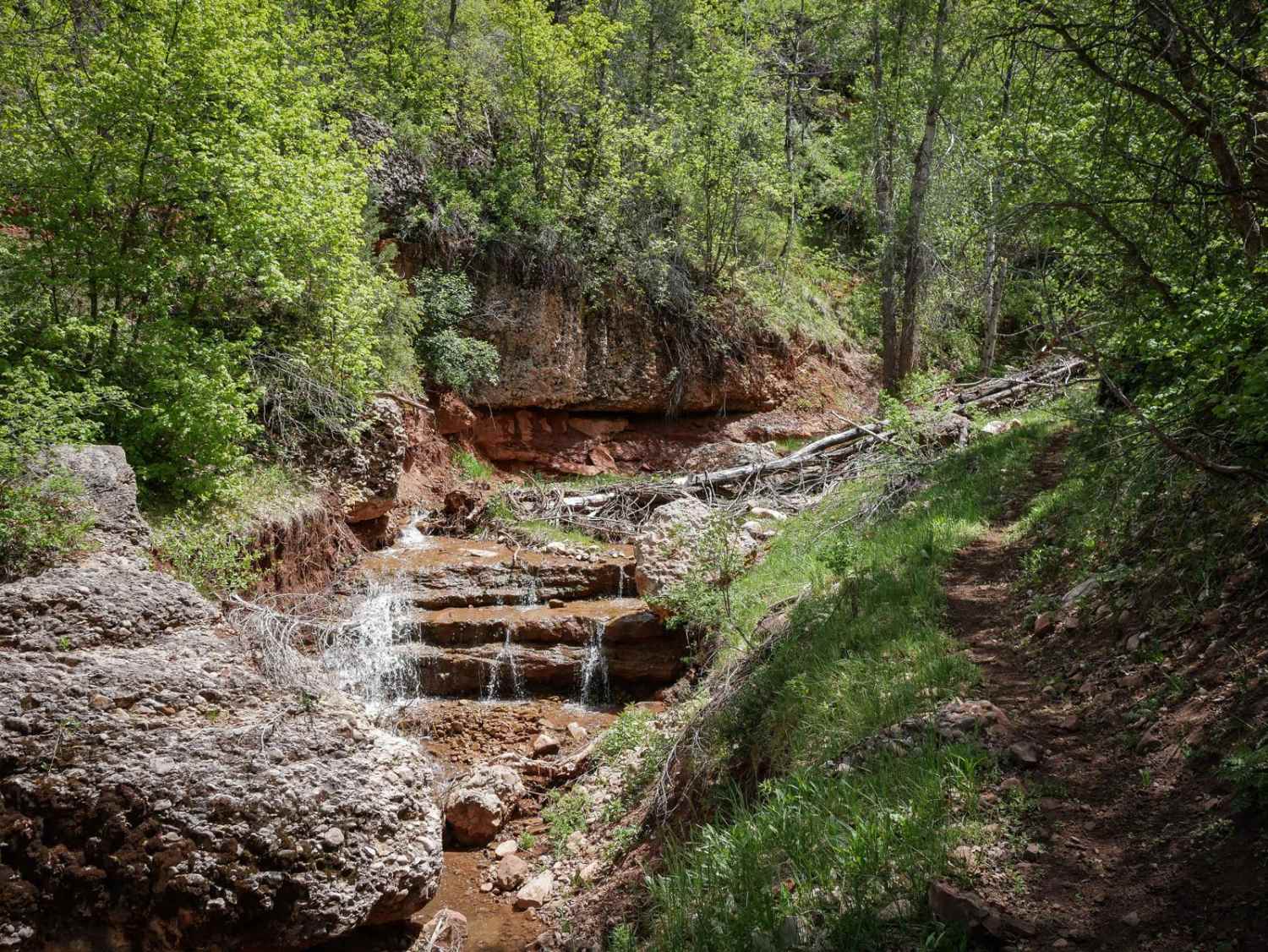
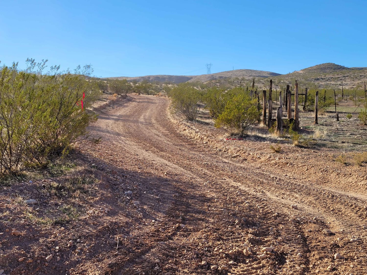
Trail Overview
Jocks Canyon is a fun and more challenging single track that departs from the Cottonwood Second Water single track, goes south for 2.5 miles, and ends on Teat Mountain Road. It's a narrow trail that side-hills above a ravine, requiring several ravine crossings. It goes through grassy fields and a lush creek bottom, with the trail going right next to or even into the creek at times. In addition to the off-camber side hilling spots and small downed logs, this trail is more difficult because of a couple of rock obstacles. There is a boulder pinch in the creek that you have to go up and a fun rock ledge obstacles a couple of feet high. This trail appears less ridden and more primitive; you'll be ducking from overgrowth, and in springtime, prepare to get wet from all the creek crossings.
Photos of Jocks Canyon

Difficulty
This is an intermediate alpine single track with moderate features such as creek crossings, downed logs, and rock ledge obstacles up to a couple feet high.
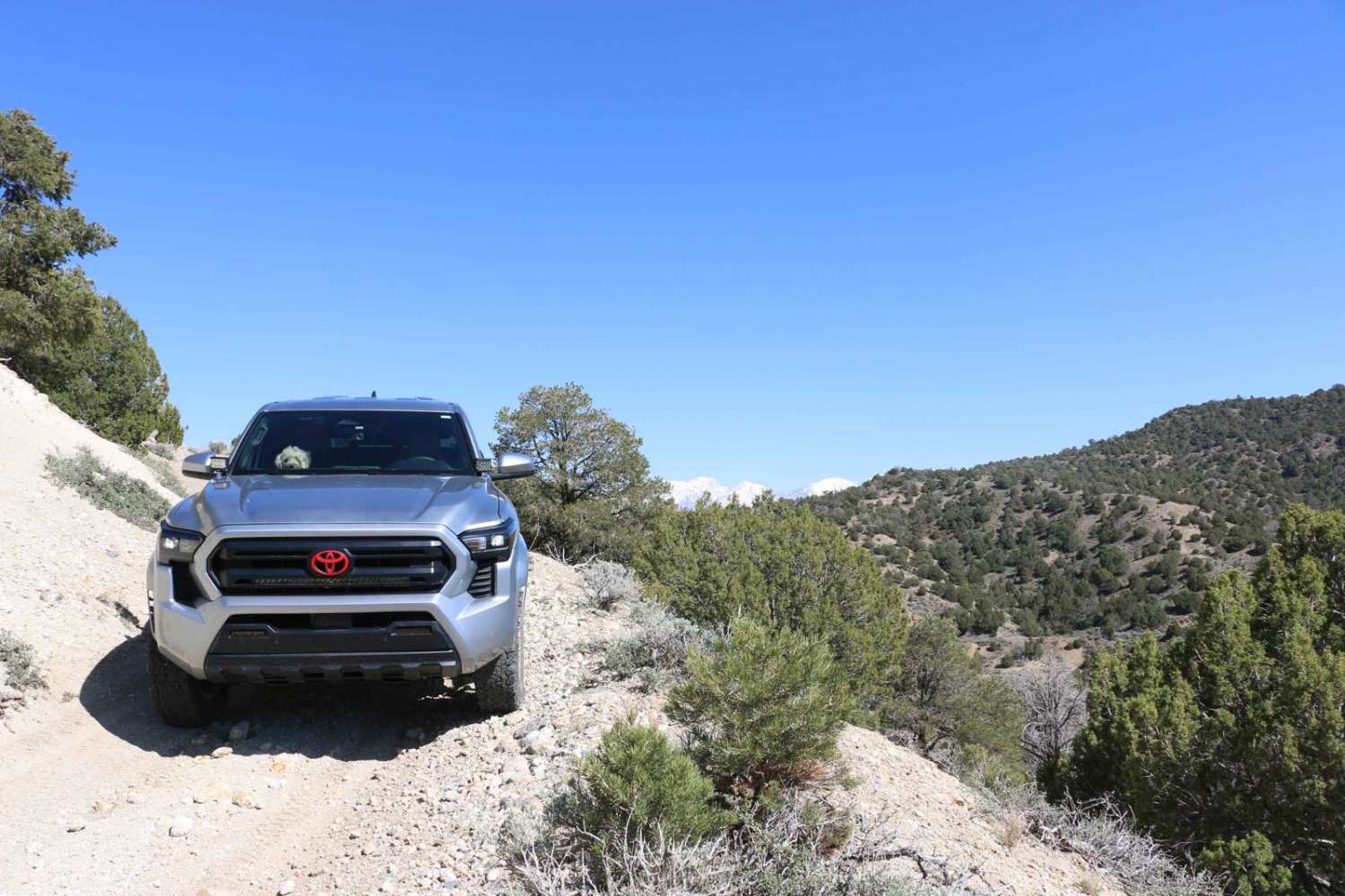
Jocks Canyon can be accessed by the following ride types:
- Dirt Bike
Jocks Canyon Map
Popular Trails
Water Lily Mine
Black Mesa-Red Knoll Loop
Brown's Hole Neoche Trail
Bear Claw to Overlook
The onX Offroad Difference
onX Offroad combines trail photos, descriptions, difficulty ratings, width restrictions, seasonality, and more in a user-friendly interface. Available on all devices, with offline access and full compatibility with CarPlay and Android Auto. Discover what you’re missing today!