Farley Road
Total Miles
3.3
Elevation
1,253.99 ft
Duration
1.5 Hours
Technical Rating
Best Time
Spring, Summer, Fall, Winter
Trail Overview
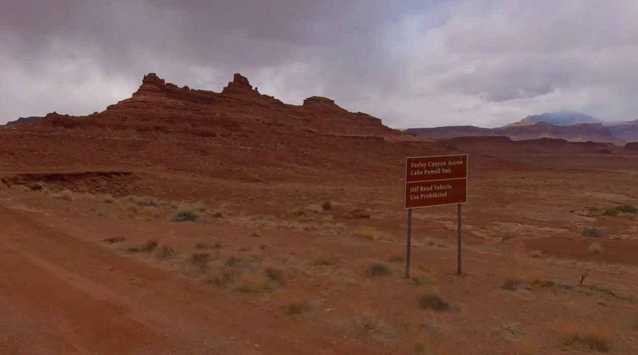
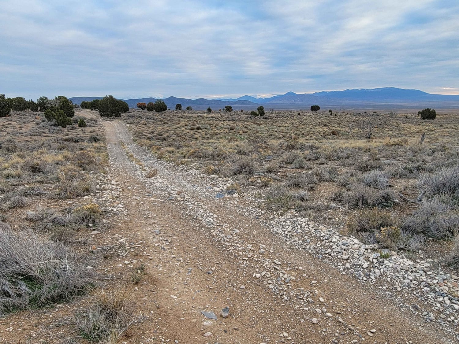
Farley Road is a 3.3-mile out-and-back (6.6-mile round trip) trail rated 3 of 10 located in San Juan County. Farley Road is located within the Hite Ranger District of the Glen Canyon National Recreation Area. The road is open to conventional vehicles OHVs and street-legal ATVs. The road consists of a hard-packed surface with embedded rocks. The road is well used by travelers looking for remote camping sites. Prior to the water levels dropping in Lake Powel, Farley Road was used for backcountry shoreline access (by permit). However, the area west of this track endpoint has been temporarily closed by the National Park Service. There is a remote Ranger District located at the top of Lake Powell, adjacent to the confluence of the Colorado and Dirty Devil Rivers. The Hite Ranger Station is currently closed and all backcountry permits for Hite and Orange Cliffs are being issued by the Hans Flat Ranger Station. The original Route 95 from Hanksville to Blanding was established in the late 1930s and in 1946 a ferry opened to cross the Colorado River (at White Canyon). The end of the ferry crossing came in 1964 with the completion of the Glen Canyon Dam which caused the river to rise. The Dirty Devil, Colorado, and White Canyon bridges were not completed until 1965 and 66. Route 95 was not paved until 1976 and was dubbed the Bicentennial Highway. The nearest services are located in Hanksville, 50 miles to the north on Highway 95. The nearest hospital is located in Blanding. This is an extremely remote area with no cell service.
Photos of Farley Road
Difficulty
Trail consisting of loose rocks, dirt, and sand with some slick rock surfaces, mud holes possible, no steps higher than 12". 4WD may be required, aggressive tires are a plus.
History
The area is rich in history. The area is named after Cass Hite who lived in Glen Canyon as long as anyone except the Ancestral Puebloans. Cass had been prospecting in the Navajo Mountain country, arrived in Glen Canyon in September 1883, and was looking for gold in the sands and gravel along the Colorado River. His discovery set off the Glen Canyon gold rush. Cass Hite had reached the Colorado River by way of White Canyon, and near its mouth, he'd found a good place to cross the river. He named it "Dandy Crossing." Indeed, it was the best crossing of the Colorado River above Lees Ferry. The many prehistoric sites in the area suggest that this river crossing was well known to early inhabitants as well as to the Navajo.
Status Reports
Popular Trails
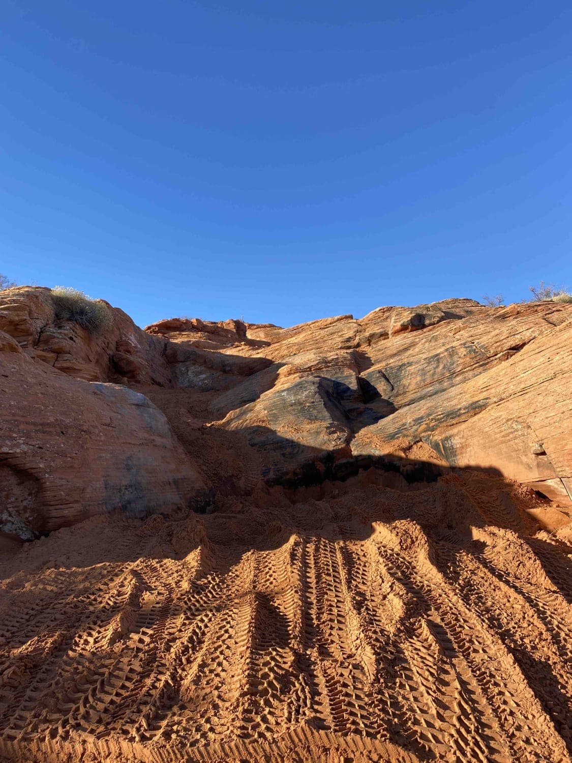
Risky Biz
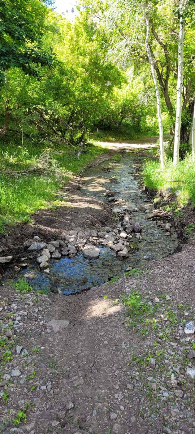
Hickman Canyon Road
Sliplock Gulch
The onX Offroad Difference
onX Offroad combines trail photos, descriptions, difficulty ratings, width restrictions, seasonality, and more in a user-friendly interface. Available on all devices, with offline access and full compatibility with CarPlay and Android Auto. Discover what you’re missing today!

