Fifth Water #015
Total Miles
4.5
Technical Rating
Best Time
Spring, Summer, Fall
Trail Type
Single Track
Accessible By
Trail Overview
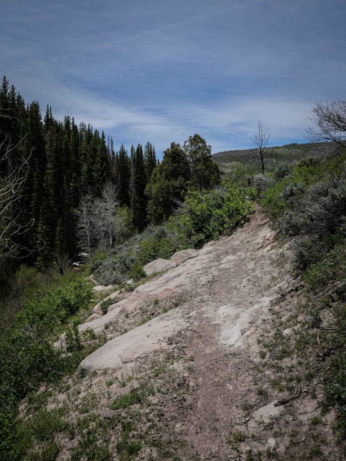
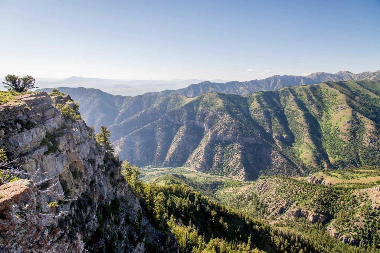
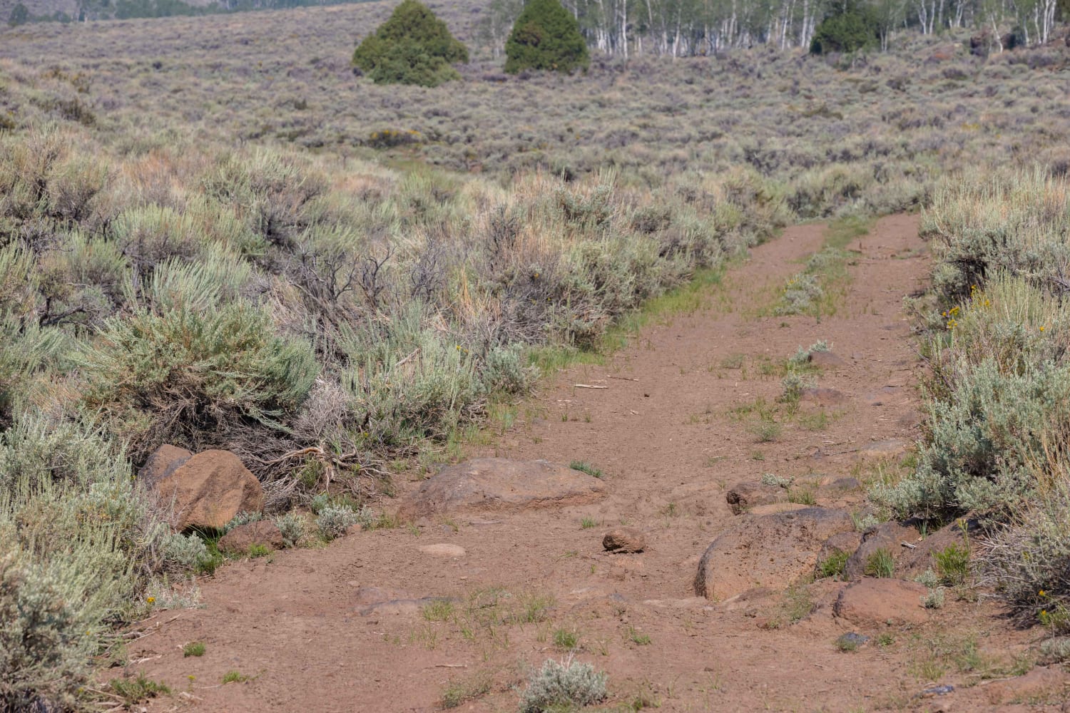
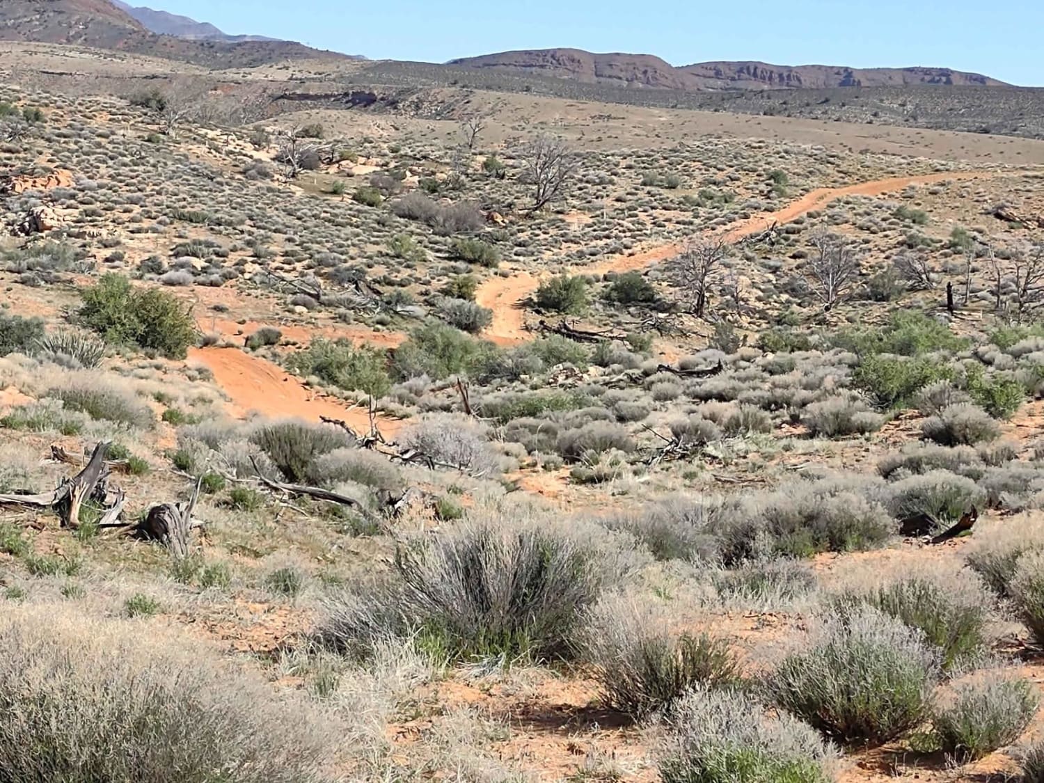
Fifth Water is a 4.5-mile-long single track in the Uinta National Forest. This trail runs mostly east to west, crossing the Center Gwt single track about halfway through. It goes along Fifth Water Creek for the whole time, dropping about 1,300 feet in elevation as it goes towards Sheep Creek-Rays Valley Road. The trail is troughed and chopped up in spots, with lots of narrow spots as it side-hills across the rolling mountains and above the creek. Be cautious on the cross-camber sections that have more exposure. Most of this trail is between 7,000 and 8,000 feet in elevation, and some of the shaded spots could still have snow in late spring. There will likely be some mud, moisture, and ruts in the trail in spring as well. The terrain is really beautiful; it goes from rolling green wide-open hills into a pine tree forest, then into aspen trees. There are a couple of small off-camber rock ledge obstacles while on the side-hill that make this trail more difficult. Also, be prepared for potential downed logs, although they will likely be cut since this is a popular riding area and close to town. This is a fun ride and can be combined with several other single-track trails in the system for a great day ride.
Photos of Fifth Water #015

Difficulty
This is an intermediate alpine single track due to lots of narrow spots with exposure, and moderate difficulty off-camber rock ledges.
Status Reports
Fifth Water #015 can be accessed by the following ride types:
- Dirt Bike
Fifth Water #015 Map
Popular Trails

Farley Road
Mount Logan Right Hand Fork
Row of Pines
Gunlock Campground Access
The onX Offroad Difference
onX Offroad combines trail photos, descriptions, difficulty ratings, width restrictions, seasonality, and more in a user-friendly interface. Available on all devices, with offline access and full compatibility with CarPlay and Android Auto. Discover what you’re missing today!