Johns Canyon Road - West
Total Miles
12.4
Technical Rating
Best Time
Spring, Summer, Fall, Winter
Trail Type
Full-Width Road
Accessible By
Trail Overview
Johns Canyon Road - West is a 12.4-mile out-and-back (33.6-mile round trip from pavement) trail rated 2 of 10 located within the Glen Canyon National Recreational Area. The Johns Canyon Road is located near Mexican Hat, Utah. The road skirts the base of Cedar Mesa between Cedar Point and the Slickhorn Canyon complex. The trail is a hard-packed dirt road with a couple of minor gully crossings and one narrow shelf road section. The trail offers scenic views of Cedar Mesa and Mully Point on the north side of the road and views into the San Juan River valley to the south. At about 11 miles the trail runs through the central section of Johns Canyon up to Johns Spring. When there is moderate rainfall or the springs are running high, small waterfalls are created in Johns Canyon. Just north of the springs the trail forks with the left fork leading to Slickhorn Canyon. The right fork leads deep into the Upper Johns Canyon area. A narrow shelf road needs to be negotiated at about 5.5 miles. There are two closed gates on this trail, neither of which are locked but should remain closed after passing (roughly 7 & 11 miles from the trailhead). The trail offers multiple opportunities to get out of your vehicle and find petroglyphs (see coordinates below). There is a large concentration of glyphs known as "The Gallery" just 3/4 mile up the right fork. The nearest basic services are located in Mexican Hat with slightly more services available in Bluff (further east). Cell phone service is intermittent near the trailhead and non-existent along the trail.
Photos of Johns Canyon Road - West


Difficulty
This is a county dirt road with infrequent or light maintenance after rain or snow, high clearance light duty 4WD may be required.
Johns Canyon Road - West can be accessed by the following ride types:
- High-Clearance 4x4
- SUV
- SxS (60")
- ATV (50")
- Dirt Bike
Johns Canyon Road - West Map
Popular Trails
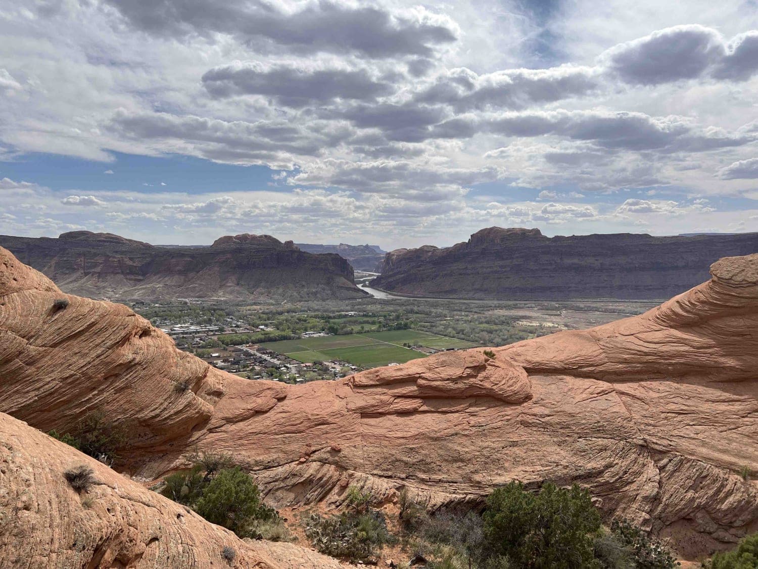
Slickrock Moab Overlook
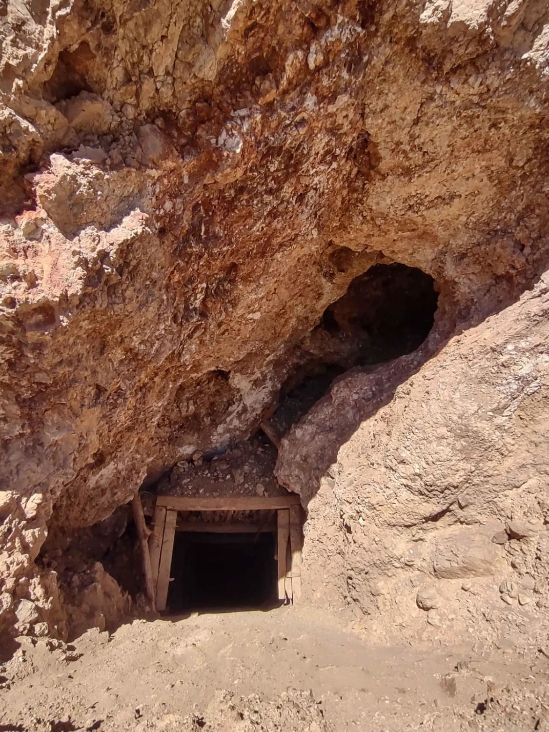
Antelope Range Mining Tour

Powerline "Plus"
The onX Offroad Difference
onX Offroad combines trail photos, descriptions, difficulty ratings, width restrictions, seasonality, and more in a user-friendly interface. Available on all devices, with offline access and full compatibility with CarPlay and Android Auto. Discover what you’re missing today!