Whiskers Draw
Total Miles
3.2
Technical Rating
Best Time
Spring, Fall
Trail Type
High-Clearance 4x4 Trail
Accessible By
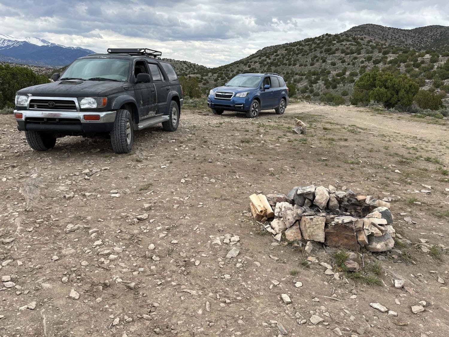
Trail Overview
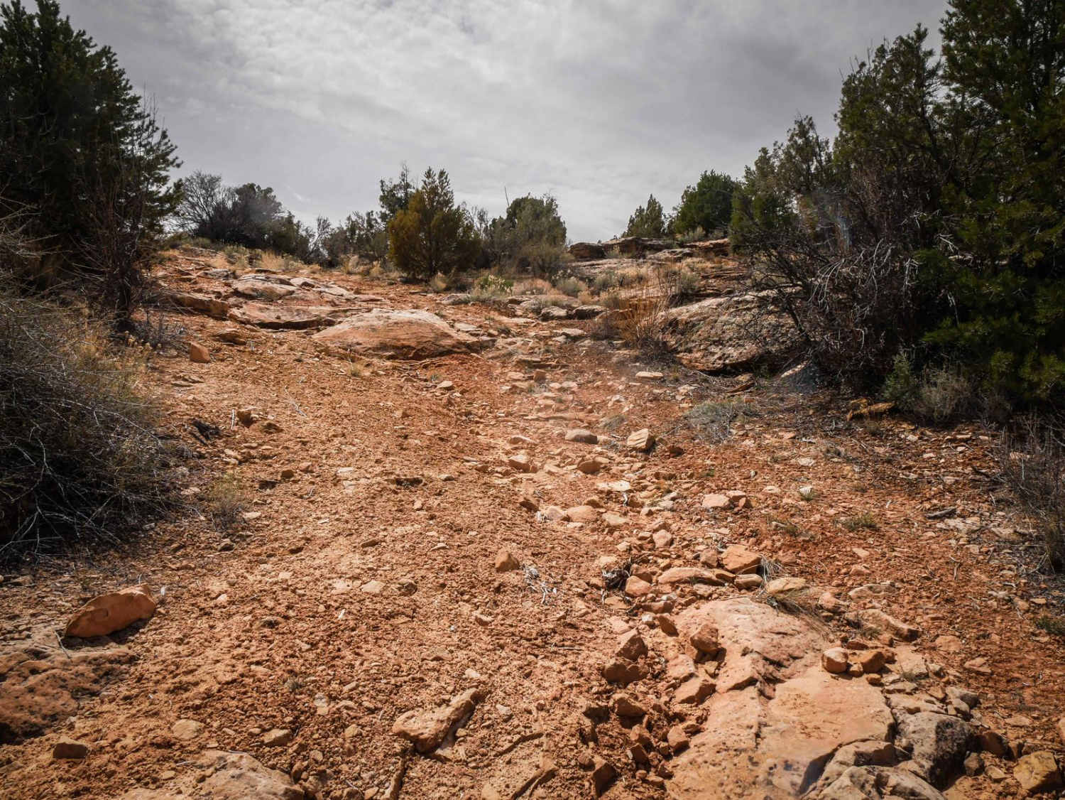
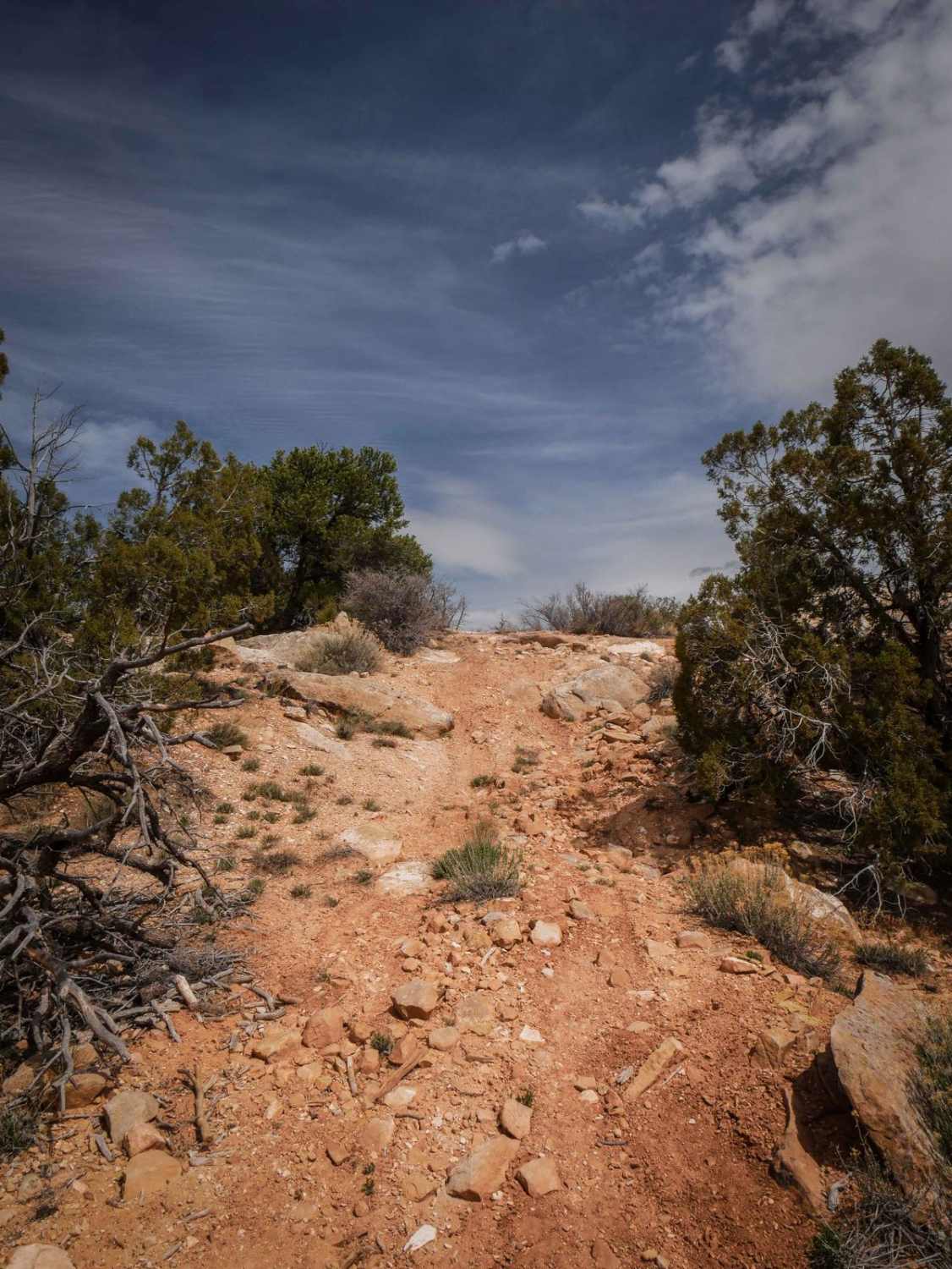
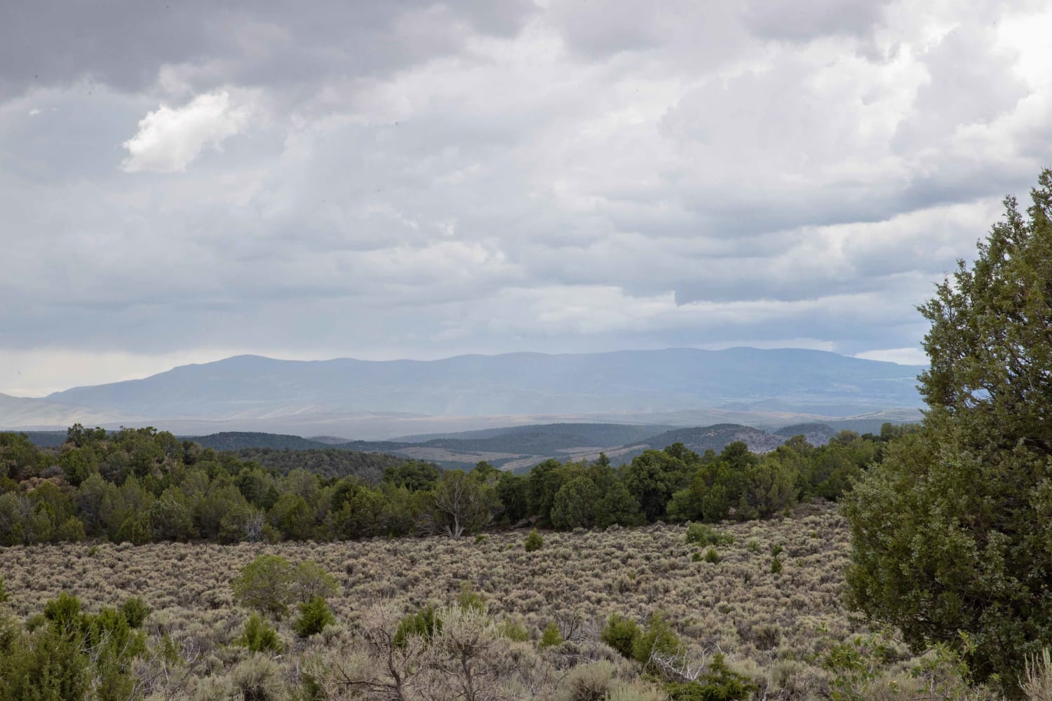
This 3.3-mile trail goes west from South Elks Road, connecting to another Jeep trail that makes a loop back to South Elks Road. It goes between pinyon pine and sagebrush with big ruts running alongside the trail. It has lots of big dips and G-outs as it crosses ravines running perpendicular through the trail--you'll need high clearance for these dips. The surface is mostly dirt with some loose rock and embedded flat slab rock. A couple of small hill climbs are rockier, with small rock ledges up to a foot tall. It goes along the top of the mesa with views of the other mesas in the area. It has a shallow water crossing over Cottonwood Creek, but it's smooth across a sandy bottom. Although a lot of the trail is wider, it does have a few more narrow sections between the bushes, faint sections, and unmarked intersections. The trail is probably mostly ridden by UTVs and ATVs.
Photos of Whiskers Draw
Difficulty
This is a 3 difficulty for rocky steep climbs and ledges up to a foot tall.
Status Reports

Popular Trails

FS 40439 Loop

Rex's Reservoir to Lost Creek Road
The onX Offroad Difference
onX Offroad combines trail photos, descriptions, difficulty ratings, width restrictions, seasonality, and more in a user-friendly interface. Available on all devices, with offline access and full compatibility with CarPlay and Android Auto. Discover what you’re missing today!