Lamerdorf Kiln Trail
Total Miles
1.5
Elevation
2,053.50 ft
Duration
2 Hours
Technical Rating
Best Time
Spring, Summer, Fall, Winter
Trail Overview
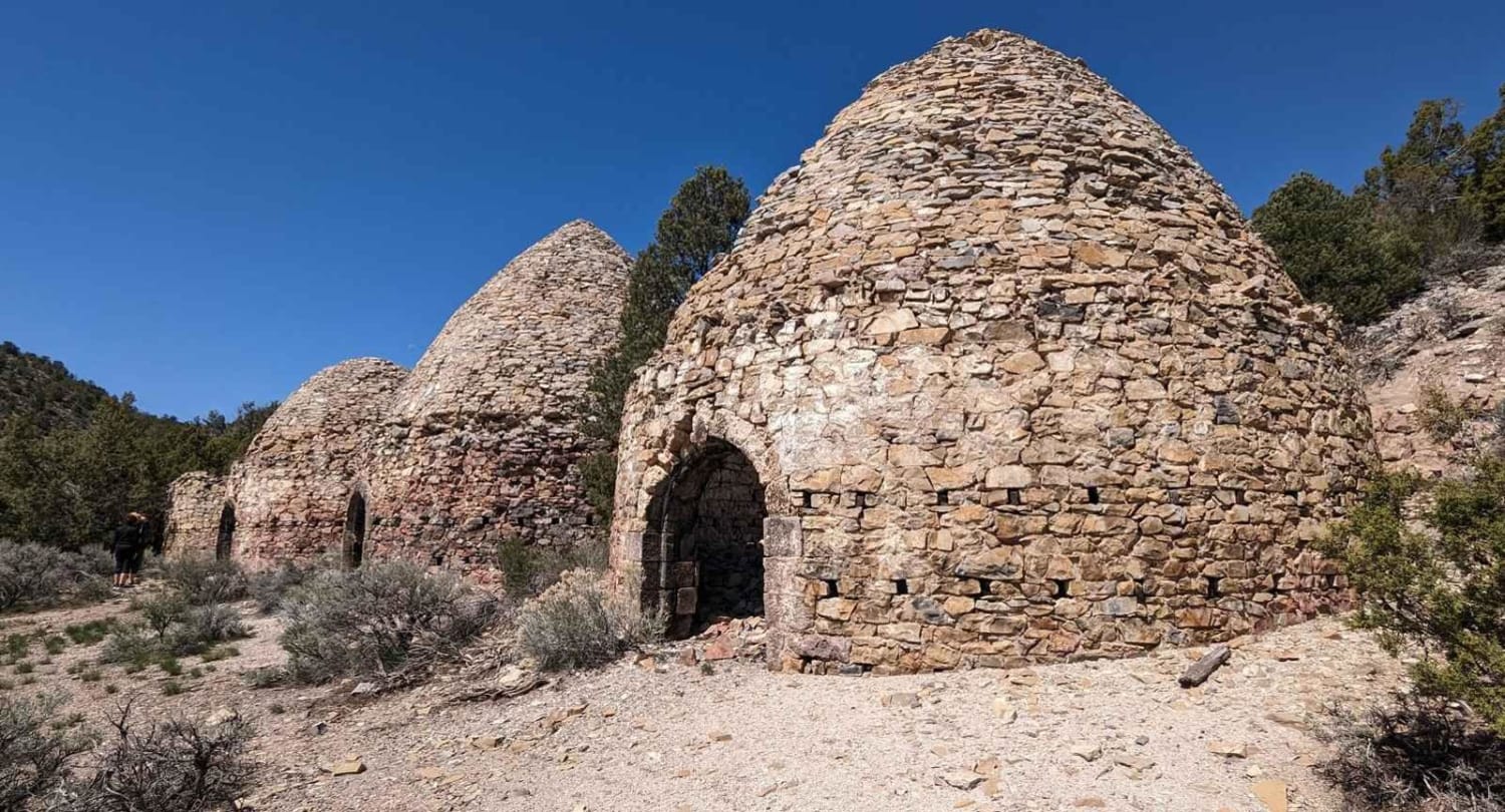
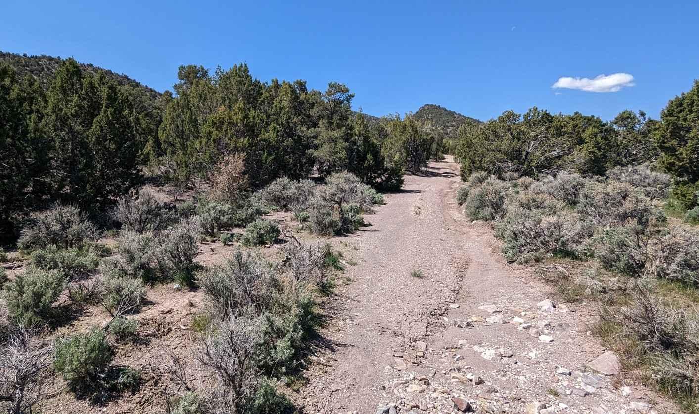
Lamerdorf Kiln Trail is a 1.5-mile out-and-back trail rated 4 of 10 single-track trail. The trailhead a wash that is unmarked and ill-defined. As you approach the trailhead watch for the fence crossing the road. The wash is located just to the west of the fence. The wash starts out wide and fairly level. As you progress up the canyon the wash will narrow with Juniper encroaching on both side of the trail. Several spots along the trail are off-camber as the wash winds down the canyon. At 1.5 miles there is a wide spot on the trail suitable for up to 10 vehicles to turn around. The trail continues on past this point for about another quarter mile but does not allow for any groups of vehicles. Located on the west side of the trail are 4 large kilns used to produce charcoal in the late 1800s. The remains of several other ovens are also located in the vicinity. These are some of the largest kilns located in Utah. Of the 4 kilns, one remains intact. The Wah Wah Mountains are one of the most remote areas of western Utah with no services at all. The nearest service is 50-plus miles away in Milford. This area is above 6000' and is subject to severe weather and may be closed during the winter months.
Photos of Lamerdorf Kiln Trail
Difficulty
The trail consists of loose rock, dirt, and sand with some slickrock surfaces. Some erosion; washes, gulches, and rock steps no higher than 18". Tall tires (33" plus) and a limited slip would be a plus. 4WD may be required. Enhanced suspension travel and good ground clearance are helpful. Good driving skills are a plus.
History
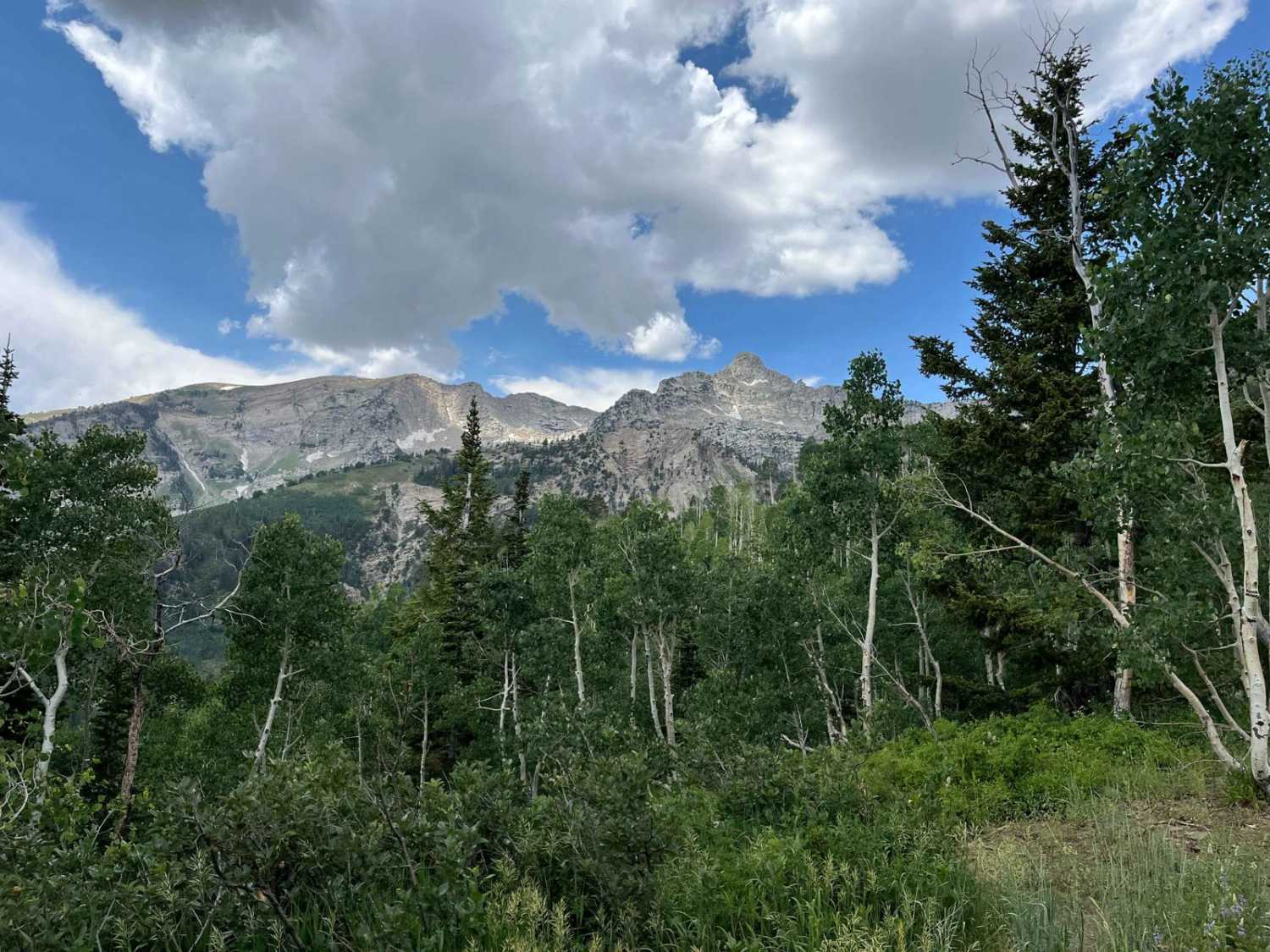
Lamerdorf Peak rises above the canyon to a height of 8425 feet. The peak was named after Charles Lamerdorf. a miner who produced charcoal near Lamerdorf Spring during the 1870s for the smelters for the Frisco Mining Company.
Status Reports
Popular Trails
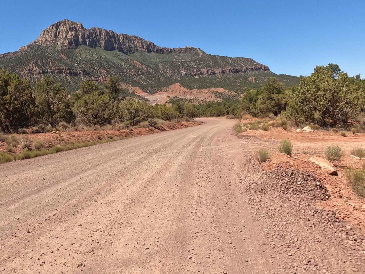
The Smithsonian Butte Backcountry Byway
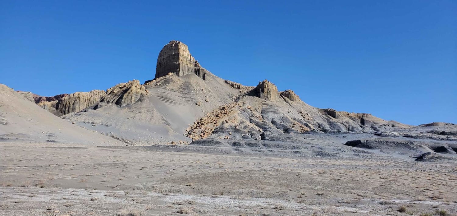
Nipple Butte Trail
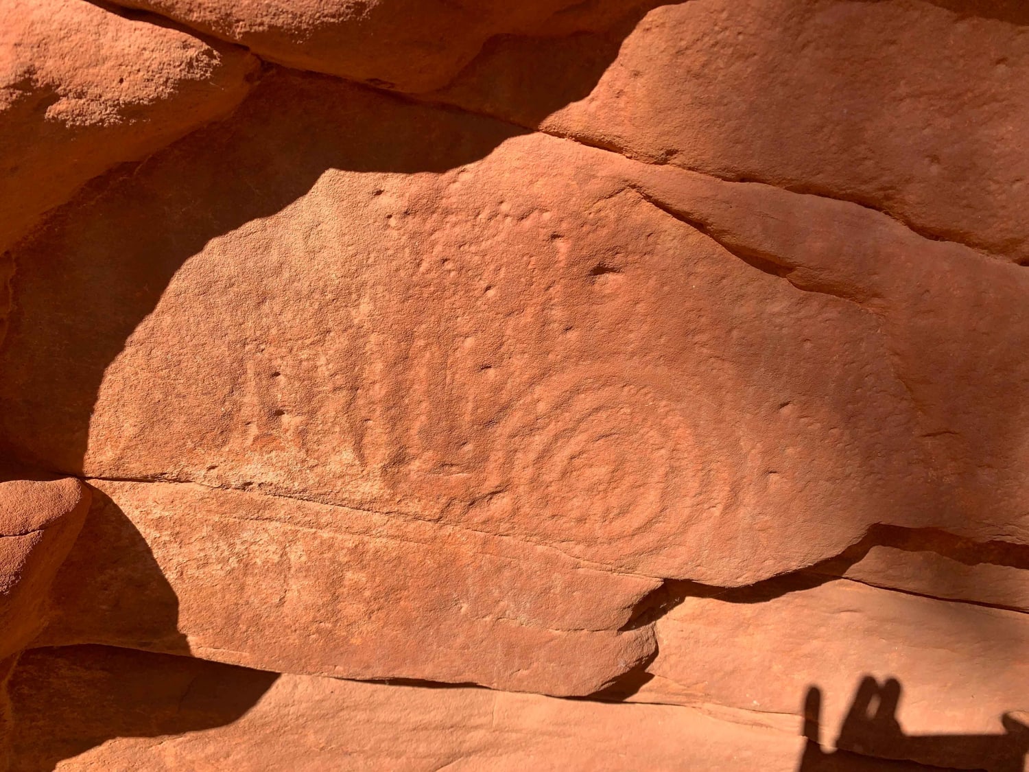
Poverty Gulch Slick Rock/Petroglyphs
The onX Offroad Difference
onX Offroad combines trail photos, descriptions, difficulty ratings, width restrictions, seasonality, and more in a user-friendly interface. Available on all devices, with offline access and full compatibility with CarPlay and Android Auto. Discover what you’re missing today!
