Poverty Gulch Slick Rock/Petroglyphs
Total Miles
1.8
Technical Rating
Best Time
Spring, Summer, Fall, Winter
Trail Type
High-Clearance 4x4 Trail
Accessible By
Trail Overview
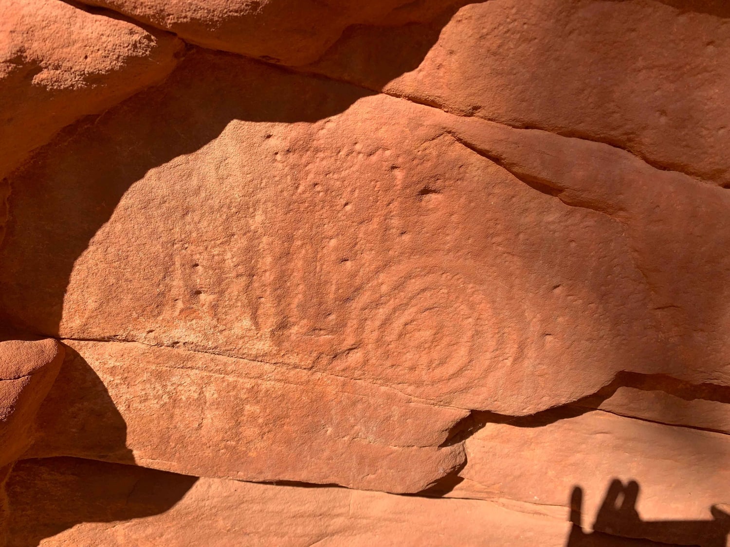
This section of the trail continues the decent into the canyon and to the East fork of the Virgin River. The trail ends with a couple of options. You can proceed straight down to the river area on a slightly easier trail or take the trail as marked here to have some slick rock fun. The slick rock is a fun decent to a flattish area. From here you can walk down on the rock to a shelf to find a Spanish Conquistador sword carved into the rock. Continue descending toward the rock wall ahead of you to a spectacular wall of petroglyphs. PLEASE do not add to the ancient drawings. You can also go down to the river and rest your tootsies in the cool, clear water. Take some time in the area and enjoy the beauty that surrounds you. To the north is the back side of Zion.
Photos of Poverty Gulch Slick Rock/Petroglyphs
Difficulty
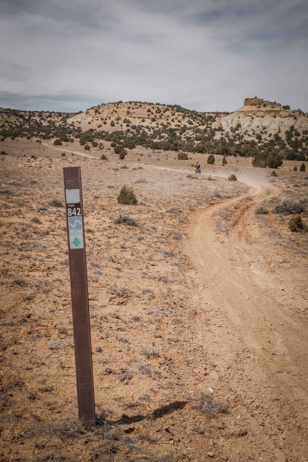
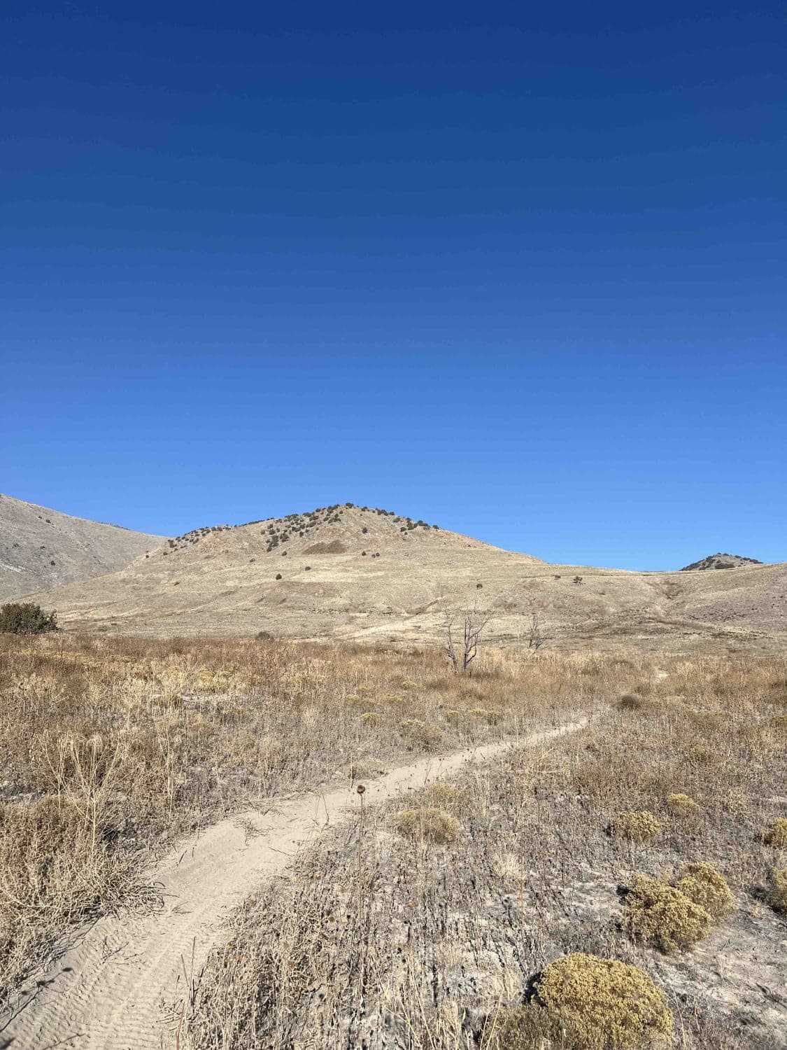
This section of the trail is a little calmer with more sand but there are hazards to be avoided. Rocks and trees overhanging the trail will leave their mark on your vehicle. Make sure your vehicle has the ability to climb the slick rock before descending as there is not communications out of this area. The exciting part of this section, and why it is a 3, is at the end as you descend a slick rock face (optional) to get close to the petroglyphs and river. Rather than turning to the slick rock you can proceed on the trail to another parking area where you are over the river but on the same trail type.
Status Reports
Popular Trails
Revenue Gulch (FS 40577, BLM 210)
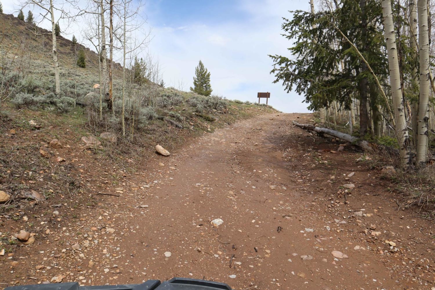
Poison Mountain
The onX Offroad Difference
onX Offroad combines trail photos, descriptions, difficulty ratings, width restrictions, seasonality, and more in a user-friendly interface. Available on all devices, with offline access and full compatibility with CarPlay and Android Auto. Discover what you’re missing today!
