Lower Black Mesa Loop
Total Miles
2.4
Technical Rating
Best Time
Spring, Summer, Fall
Trail Type
High-Clearance 4x4 Trail
Accessible By
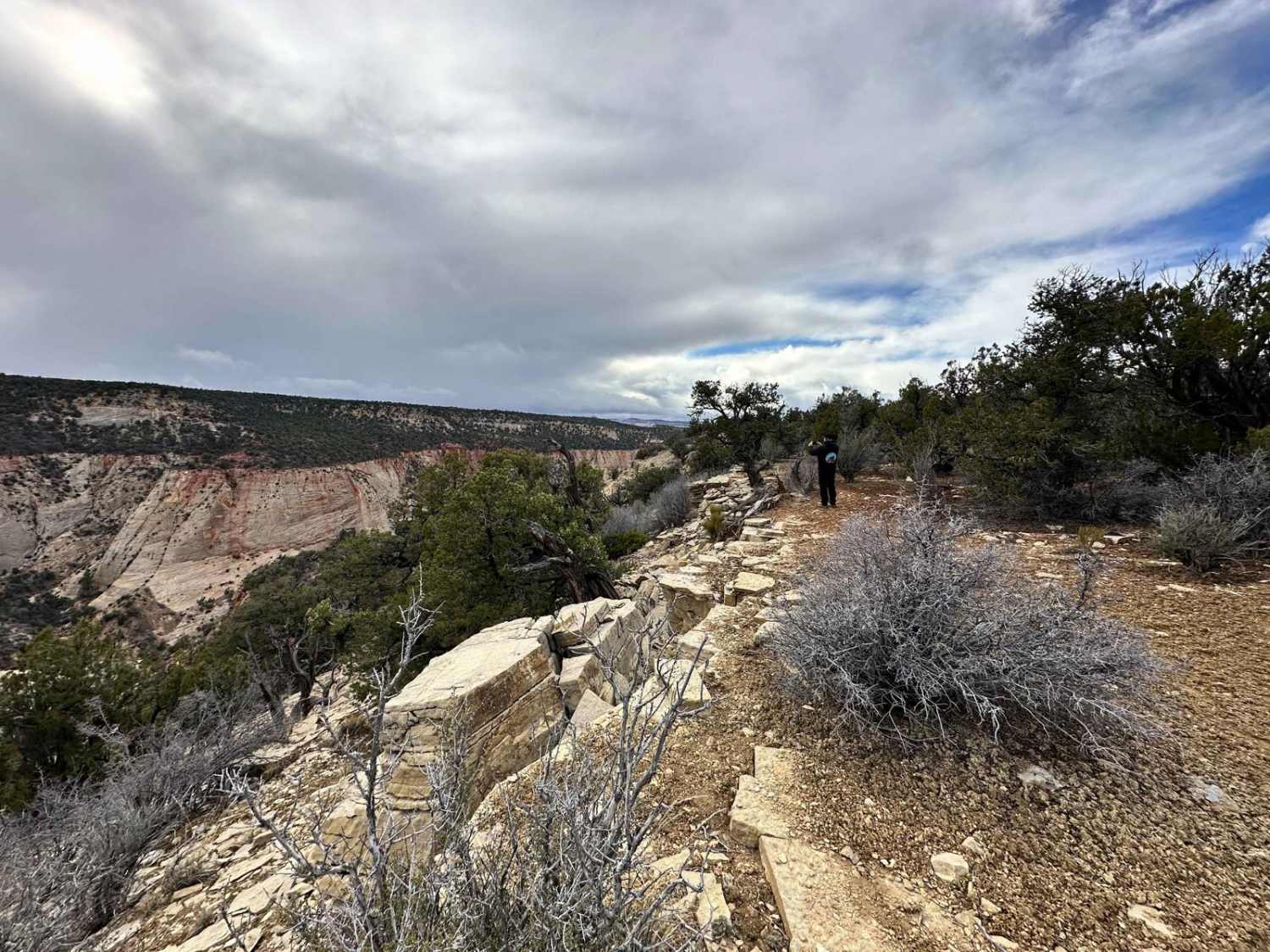
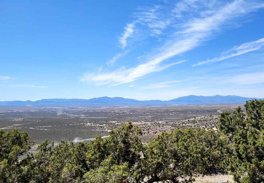
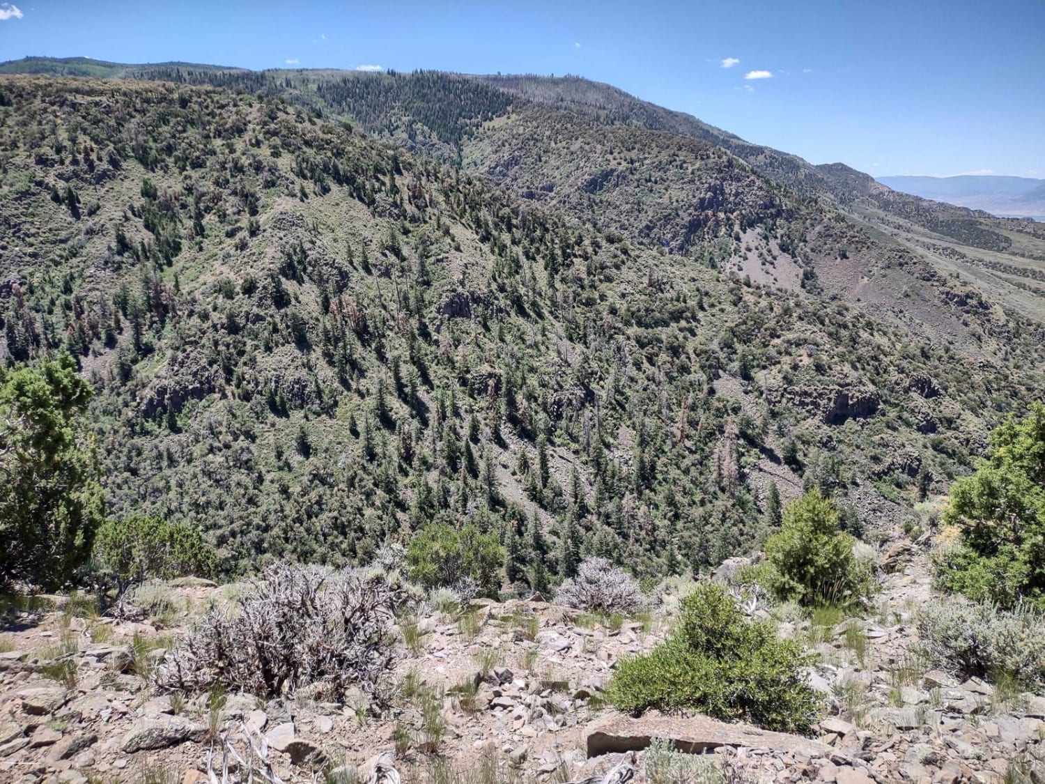
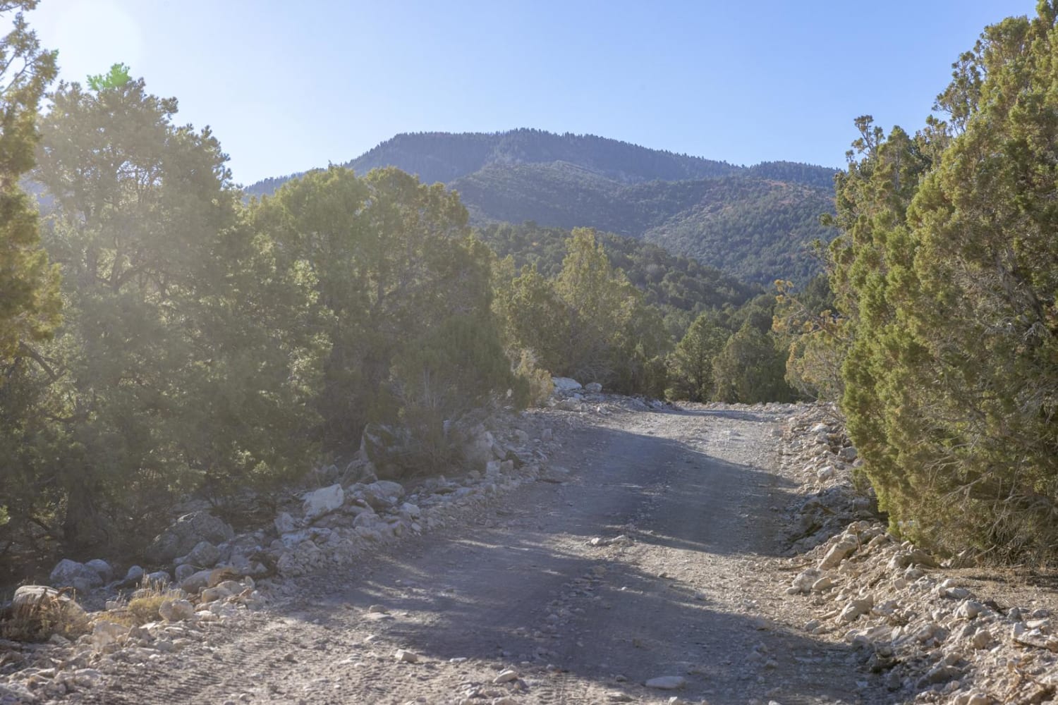
Trail Overview
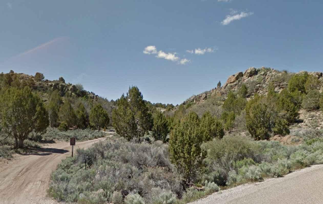
This a fun trail that's an off-beaten path. It is a narrow trail that winds through the trees, small washes, and rolling hills and will take you to some of the most spectacular overlooks in the area. It overlooks a large section of the Merwin Canyon that eventually ties into the Virgin River. Kanab, Utah, and Mount Carmel Junction are the two closest towns if you need to restock on fuel and supplies. There is no cell service, so keep that in mind when traveling through this area. Several spots along the canyon have been used for dispersed and tent camping. Overlanding setups would have trouble doing this, as the trail is narrow and steep in spots. You don't want to be caught in the area if it has been raining; the ground will turn to a slimy mud that is near impossible to drive on.
Photos of Lower Black Mesa Loop

Difficulty
Keep an eye on the weather; you do not want to be on this trail if it has been raining or it's going to rain. It will turn to a thick slimy mud that is almost impossible to drive on.
Status Reports

Popular Trails
Southside Loop
Lower Rock Canyon Overlook - FS 4950
Olsen Canyon
Water Canyon-FR30002
The onX Offroad Difference
onX Offroad combines trail photos, descriptions, difficulty ratings, width restrictions, seasonality, and more in a user-friendly interface. Available on all devices, with offline access and full compatibility with CarPlay and Android Auto. Discover what you’re missing today!