Martin Fork
Total Miles
0.5
Technical Rating
Best Time
Spring, Summer, Fall
Trail Type
Full-Width Road
Accessible By
Trail Overview
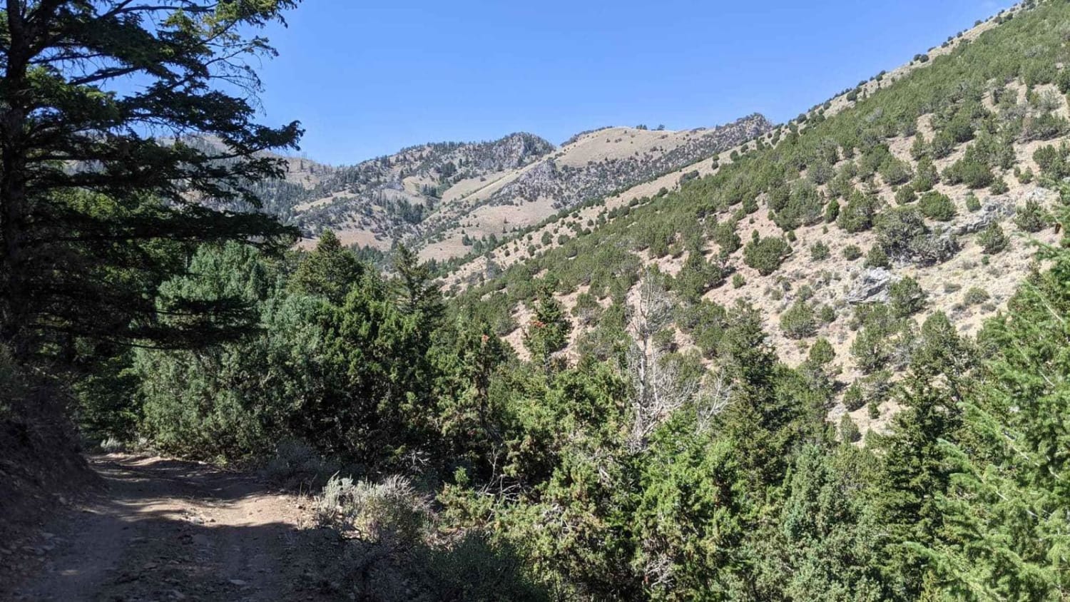
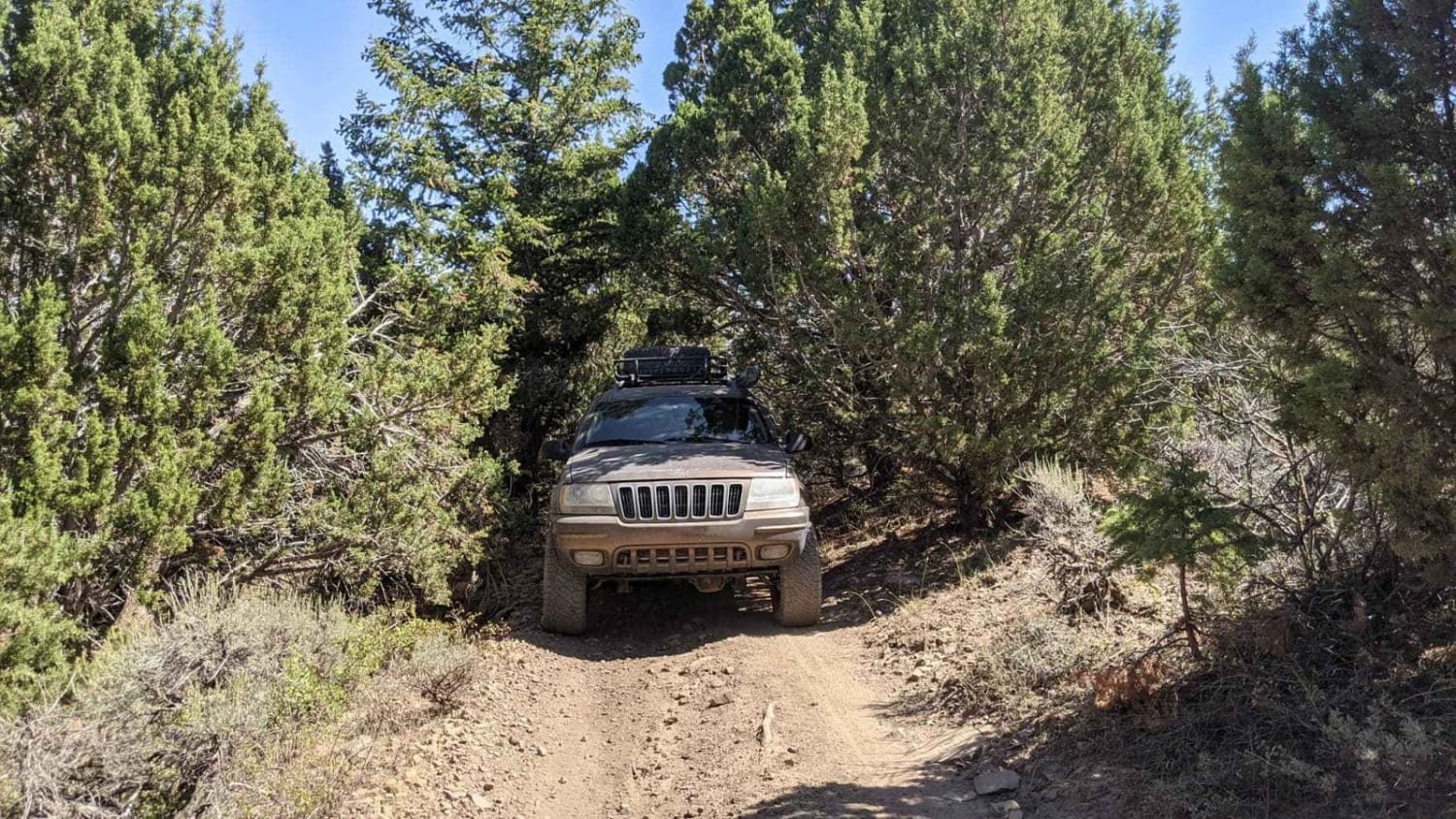
This is a scenic drive that follows along the edge of a canyon in the high desert of Tooele Valley. Warning: The trail has a lot of tight areas through the brush. It is not recommended to take a full-size vehicle. Scratches are likely. It was tight in a Grand Cherokee. The trail as of this recording is washed out from the rain, there are deep ruts running down the length of the trail in some areas. There are many larger rocks along the trail, so bigger ground clearance is recommended. There are a couple of places to disperse camp along this trail. The majority of the camp areas are within the scenic forest. This area is particularly gorgeous during the fall with many colored leaves. You will often see wildlife and livestock. The trail continues into a 50" wide trail and went further than I was able to fit.
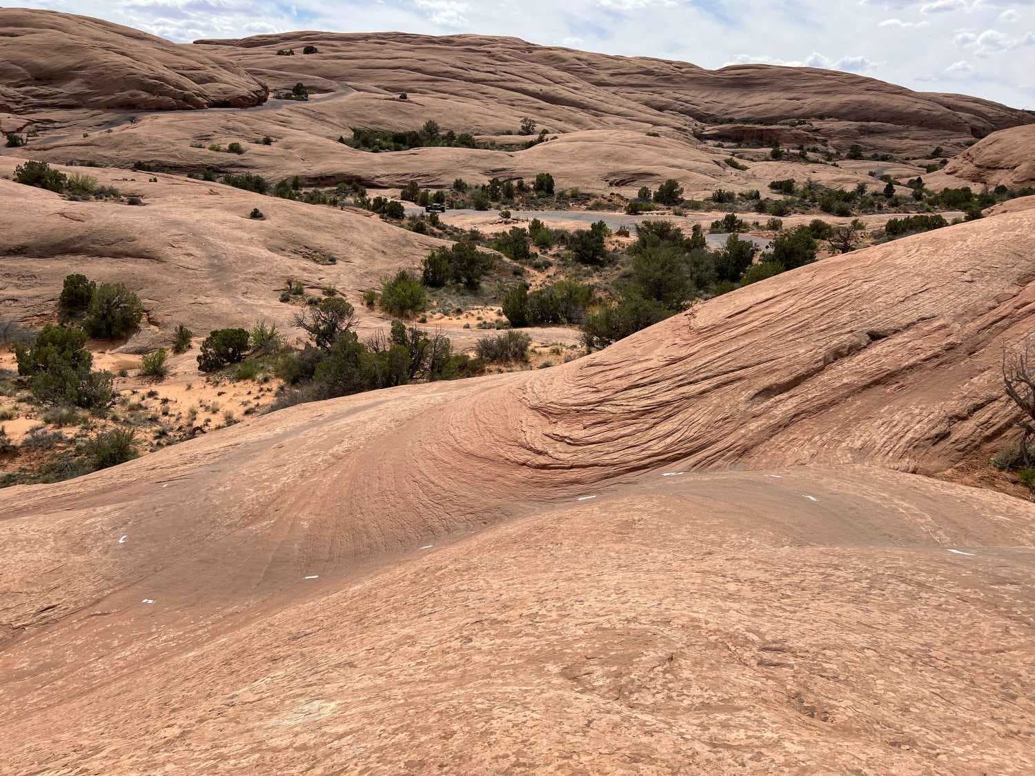
Photos of Martin Fork
Difficulty
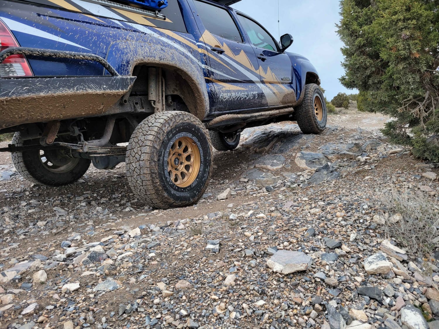
Rocks up to 18" in areas and 2' deep ruts in sections scattered throughout the trail. The trail is paasable on 33s, but it would be easy to slide into one of the large ruts and get high centered. It appears to be deep, thick mud if it were to see moisture.
Status Reports
Martin Fork can be accessed by the following ride types:
- High-Clearance 4x4
- SUV
- SxS (60")
- ATV (50")
- Dirt Bike
Martin Fork Map
Popular Trails

Roy's Elk Bugling Trail
The onX Offroad Difference
onX Offroad combines trail photos, descriptions, difficulty ratings, width restrictions, seasonality, and more in a user-friendly interface. Available on all devices, with offline access and full compatibility with CarPlay and Android Auto. Discover what you’re missing today!
