Up The Hill
Total Miles
0.3
Elevation
1,671.96 ft
Duration
--
Technical Rating
Best Time
Fall, Summer, Spring
Trail Overview
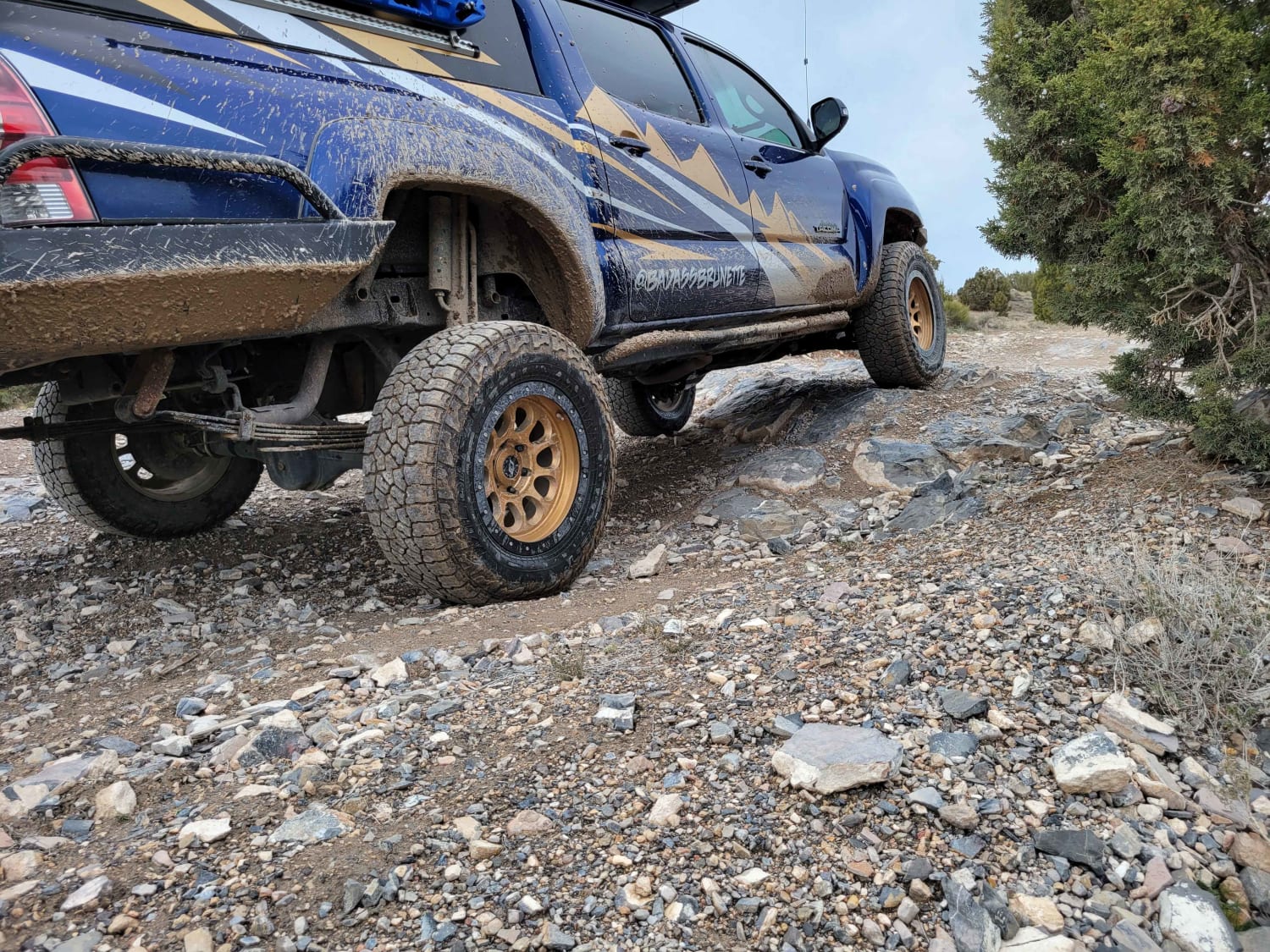
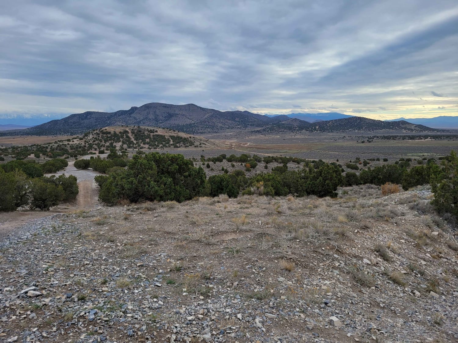
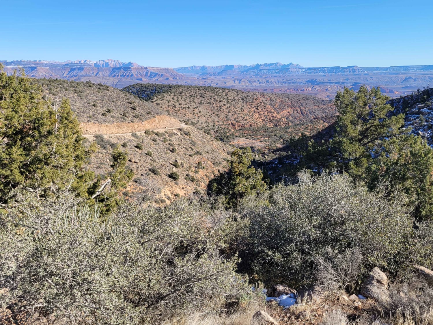
This is a very short trail that navigates the face of a small hill. There's a little rock garden section that will briefly test the flexibility of your suspension. This route takes you to a spiderweb of other trails in the area. The number of off-shoots and alternative trails seemed endless. Great views from the top of the hill.
Photos of Up The Hill
Difficulty
This is a very short trail that navigates the face of small hill. There's a little rock garden section that will briefly test the flexibility of your suspension. This route takes you to a spiderweb of other trails in the area. The number of off-shoots and alternative trails seemed endless. Great views from the top of the hill.
Popular Trails

Johns Canyon Road - West
Billingsly Trail
West Canyon Trailhead Road
Cottonwood Creek
The onX Offroad Difference
onX Offroad combines trail photos, descriptions, difficulty ratings, width restrictions, seasonality, and more in a user-friendly interface. Available on all devices, with offline access and full compatibility with CarPlay and Android Auto. Discover what you’re missing today!