Marysvale Overlook - The Nipple (BLM 6125, 6362, 5819)
Total Miles
7.4
Technical Rating
Best Time
Spring, Summer, Fall
Trail Type
60" Trail
Accessible By
Trail Overview
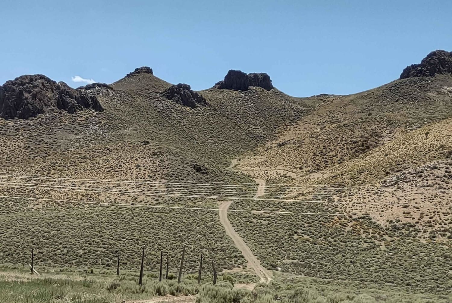
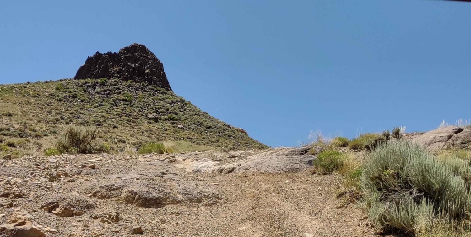
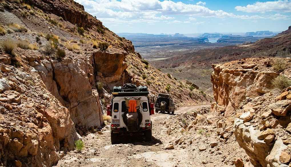
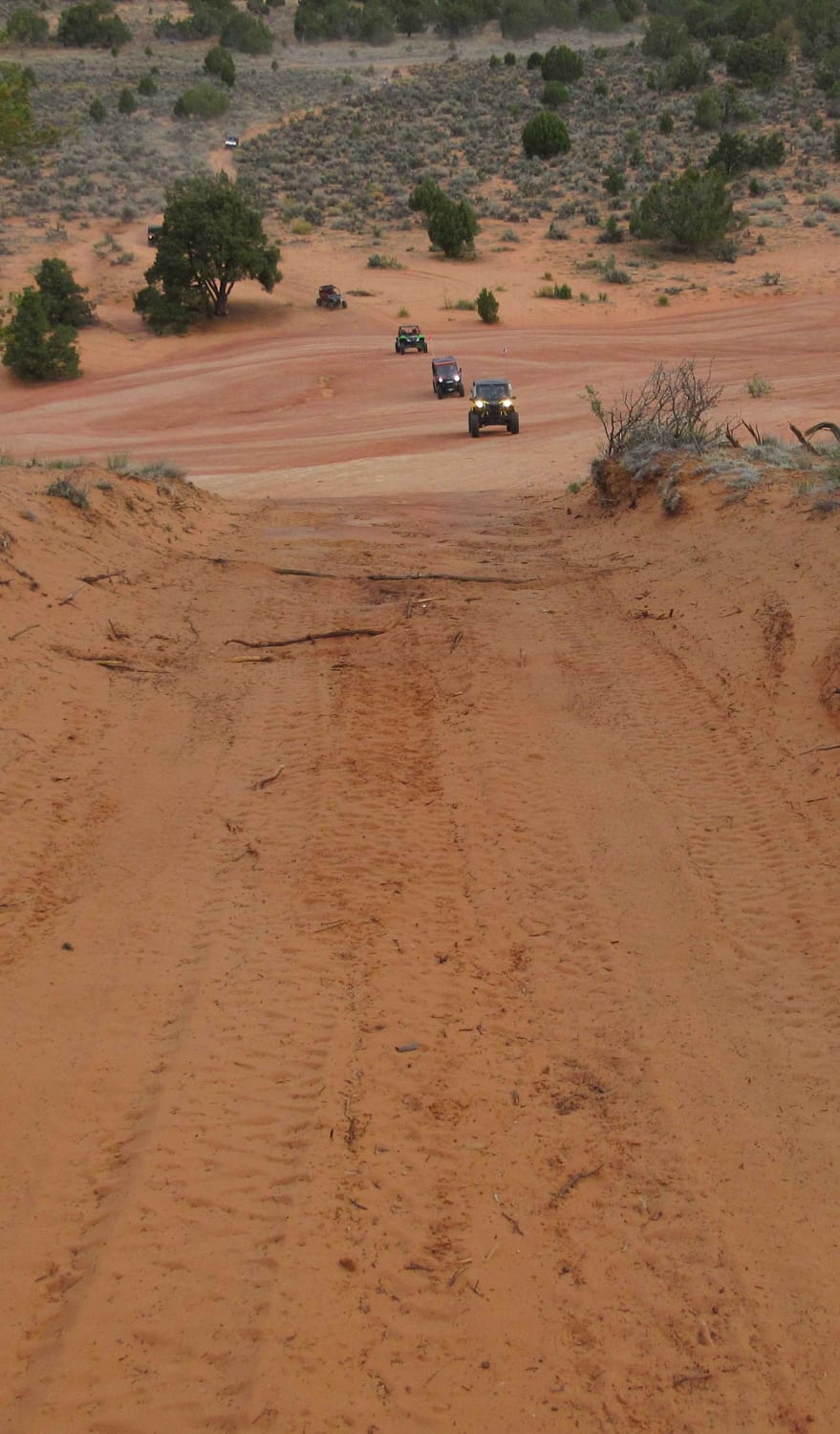
This trail combines three BLM trails and goes up to "The Nipple" from the west side. You arrive at the highest point (6,790 feet) overlooking Marysvale and the Sevier River. Then the trail goes down off the east side of The Nipple towards Marysvale. There is room for several vehicles to line up for a great photo at the top of the trail that goes off the east side. It's a steep climb up to the top, regardless of which side you climb, but the views are magnificent. The trail down to the east is also steep, but it's not hard if you take it slow. The east side is steeper than the west. Local high school kids placed a recliner on top of "The Nipple" but you need rappelling gear or a ladder to get up to it.
Photos of Marysvale Overlook - The Nipple (BLM 6125, 6362, 5819)
Difficulty
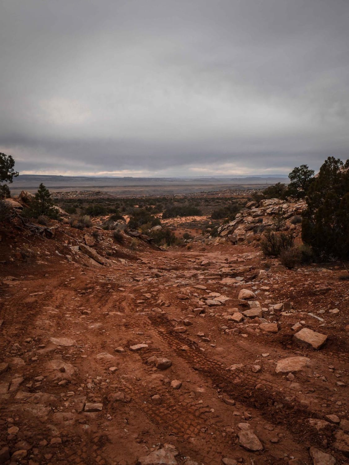
The trail has very steep terrain with some loose rocks. There are some embedded rocks to cross, but they're not over 12 inches or difficult.
Popular Trails
Dinosaur Tracks Loop
The onX Offroad Difference
onX Offroad combines trail photos, descriptions, difficulty ratings, width restrictions, seasonality, and more in a user-friendly interface. Available on all devices, with offline access and full compatibility with CarPlay and Android Auto. Discover what you’re missing today!
