Mining Fork 4x4
Total Miles
3.5
Technical Rating
Best Time
Spring, Summer, Fall
Trail Type
Full-Width Road
Accessible By
Trail Overview
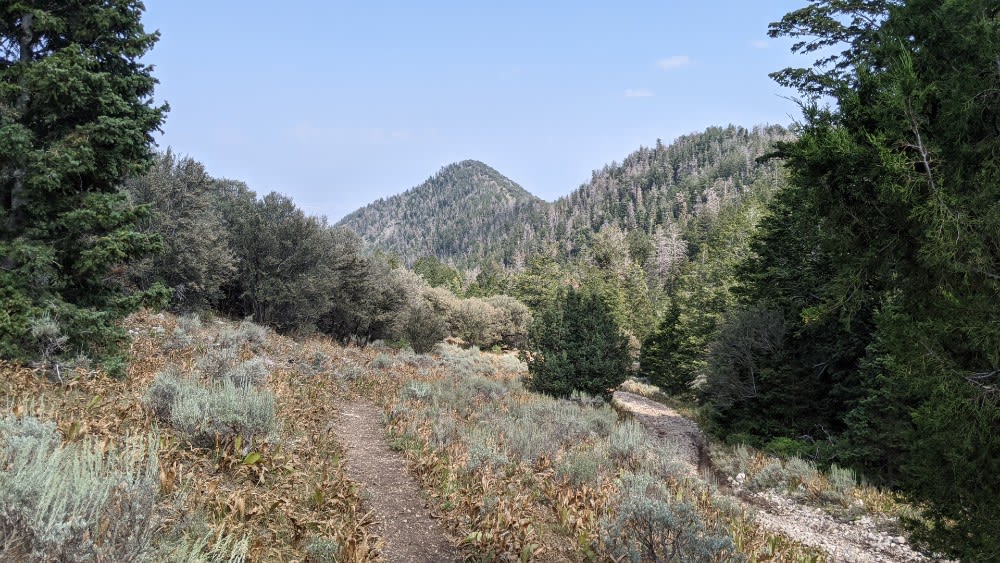
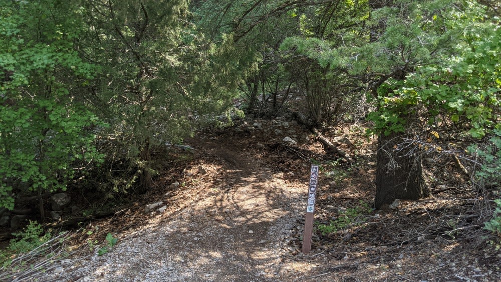
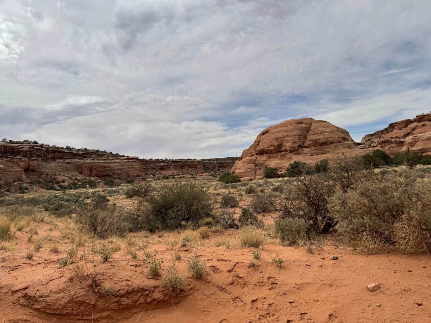
This is a scenic drive that follows along a ridgeline in the high desert of Tooele Valley and drops down into a canyon entering the aspen groves. Warning: The trail has a lot of tight areas along cliff sides and through the brush. It is not recommended to take a full-size vehicle. Scratches are likely, it was tight in a Grand Cherokee. The trail has a lot of off-camber areas along drop-offs. There are many larger rocks along the trail, bigger ground clearance is recommended. There are a couple of places to disperse camp along this trail. The majority of the camp areas are within the scenic forest. This area is particularly gorgeous during the fall with many colored leaves. You will often see wildlife. The trail crosses the Stansbury Front Dirtbike trail. The trail ends at the border with the Deseret Peak Wilderness. It is not legal to continue past the sign into the wilderness with motorized vehicles or bicycles. The complete trail is not passable in the snow.
Photos of Mining Fork 4x4
Difficulty
Rocks up to 12" in areas and off camber sections scattered throughout the trail.
Status Reports
Mining Fork 4x4 can be accessed by the following ride types:
- High-Clearance 4x4
- SUV
- SxS (60")
- ATV (50")
- Dirt Bike
Mining Fork 4x4 Map
Popular Trails
Tantalus Flat - NF30168
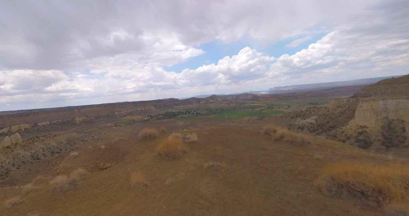
Coal Bench Road-Garfield County 7800
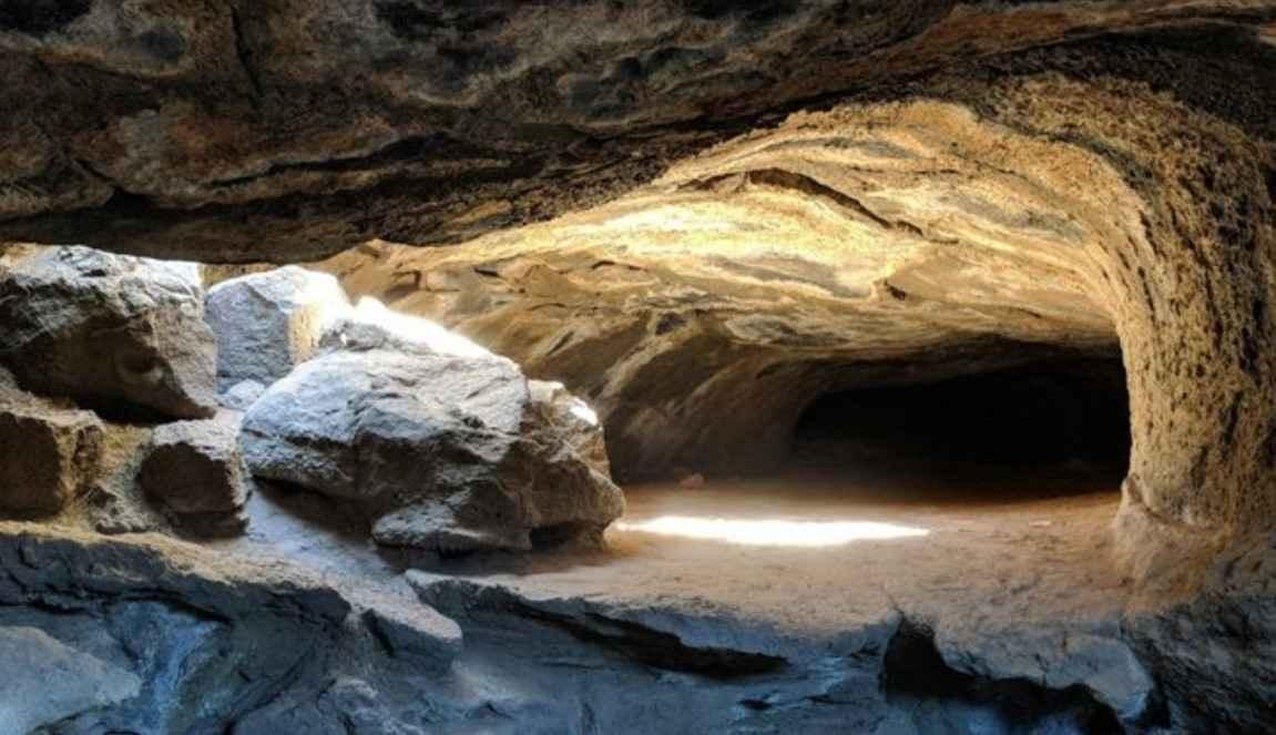
Mammoth Cave Road
The onX Offroad Difference
onX Offroad combines trail photos, descriptions, difficulty ratings, width restrictions, seasonality, and more in a user-friendly interface. Available on all devices, with offline access and full compatibility with CarPlay and Android Auto. Discover what you’re missing today!
