Paiute Trail #15 to Paiute Trail #6
Total Miles
19.1
Technical Rating
Best Time
Spring, Fall, Summer
Trail Type
Full-Width Road
Accessible By
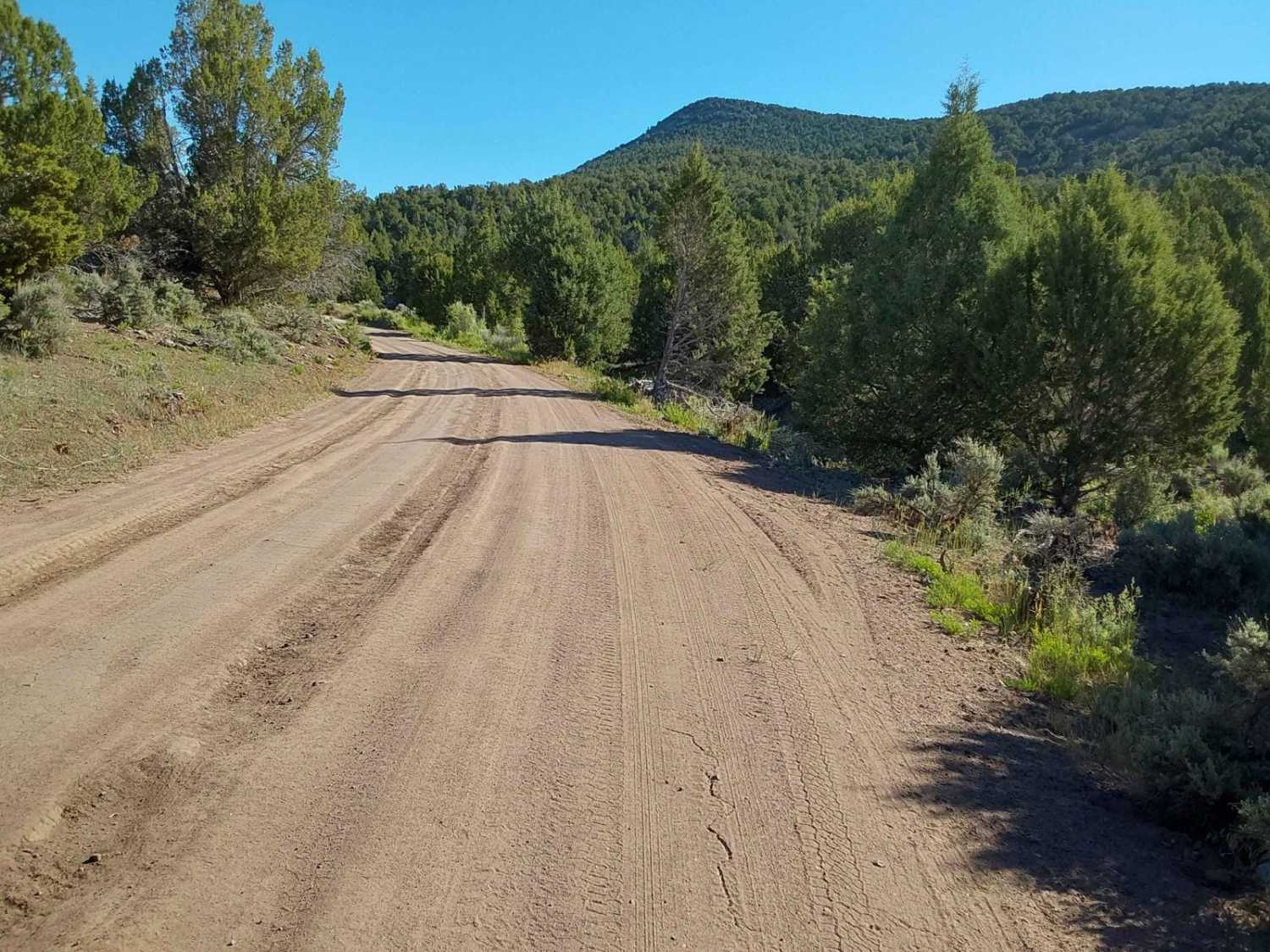
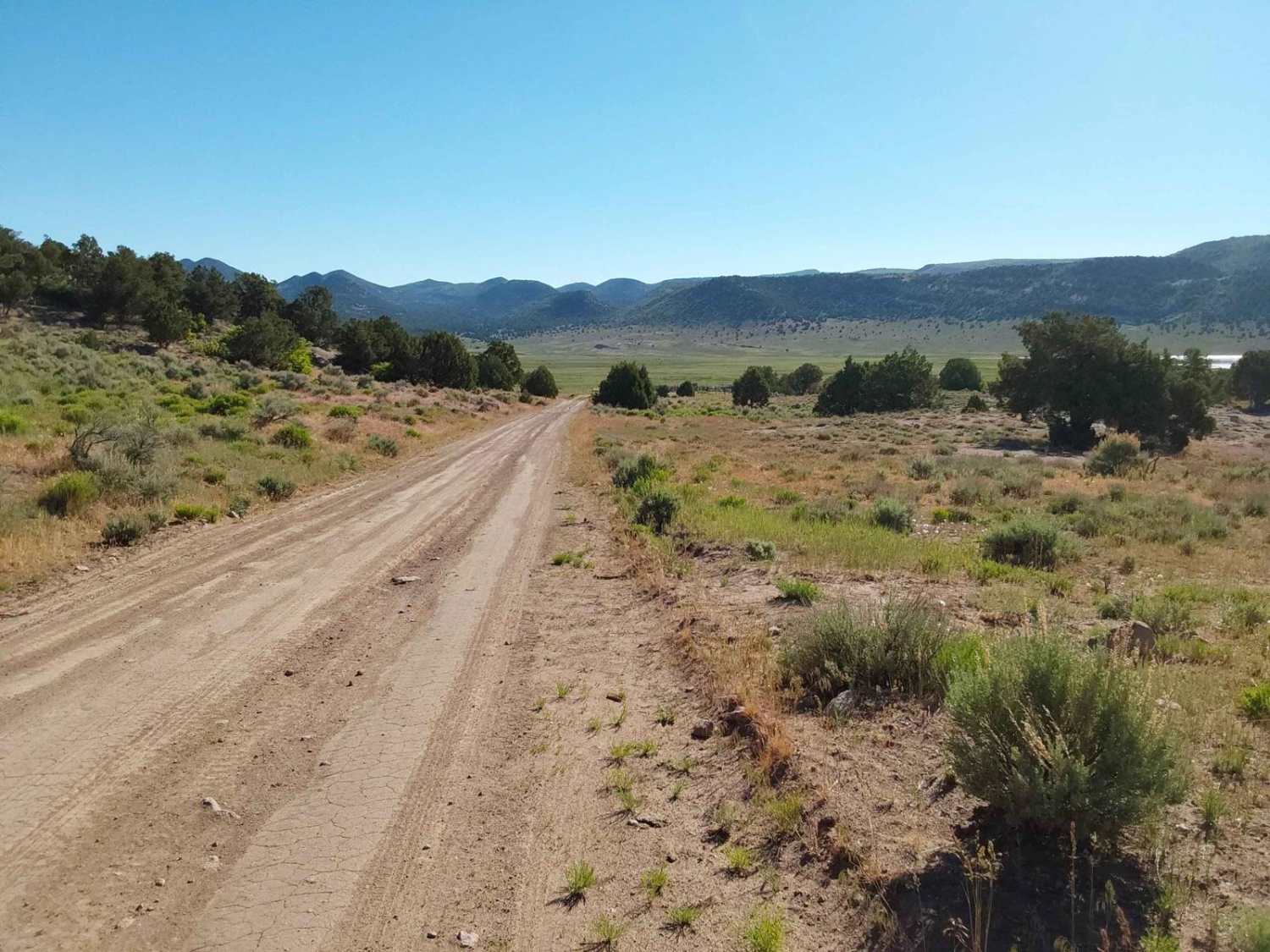
Trail Overview
This is part of the Paiute trail system north of Interstate 70. It's accessible by most high-clearance vehicles in dry weather--rain or snow, 4x4, UTV, or ATV. Most of this area is grazing land for cattle. In previous years, it was also used for sheep. These roads are maintained for recreational use. Ranchers and hunters also use these roads to access summer grazing and hunting. There is camping up here both primitive and campground (Adelaide Campground). Old cabins can be seen along the way.
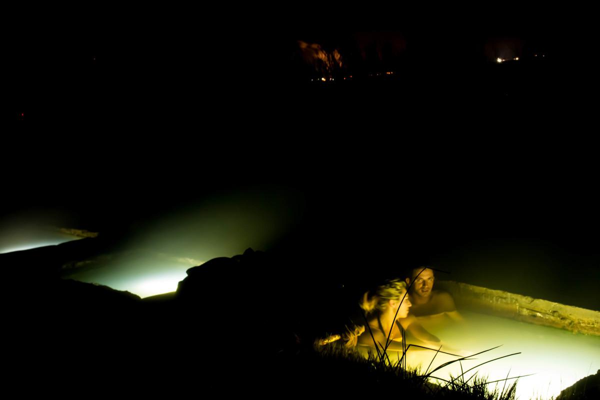
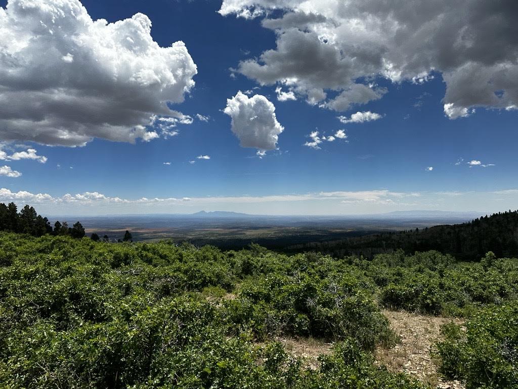
Photos of Paiute Trail #15 to Paiute Trail #6
Difficulty
This is very muddy during snow or rain.

Popular Trails
Hot Spring Road-Beaver County 40
Cameo Cliffs to Wilson Arch
Baker Hot Springs
The onX Offroad Difference
onX Offroad combines trail photos, descriptions, difficulty ratings, width restrictions, seasonality, and more in a user-friendly interface. Available on all devices, with offline access and full compatibility with CarPlay and Android Auto. Discover what you’re missing today!