Pleasant Creek (South Draw Road)
Total Miles
7.8
Technical Rating
Best Time
Spring, Summer, Fall
Trail Type
High-Clearance 4x4 Trail
Accessible By
Trail Overview
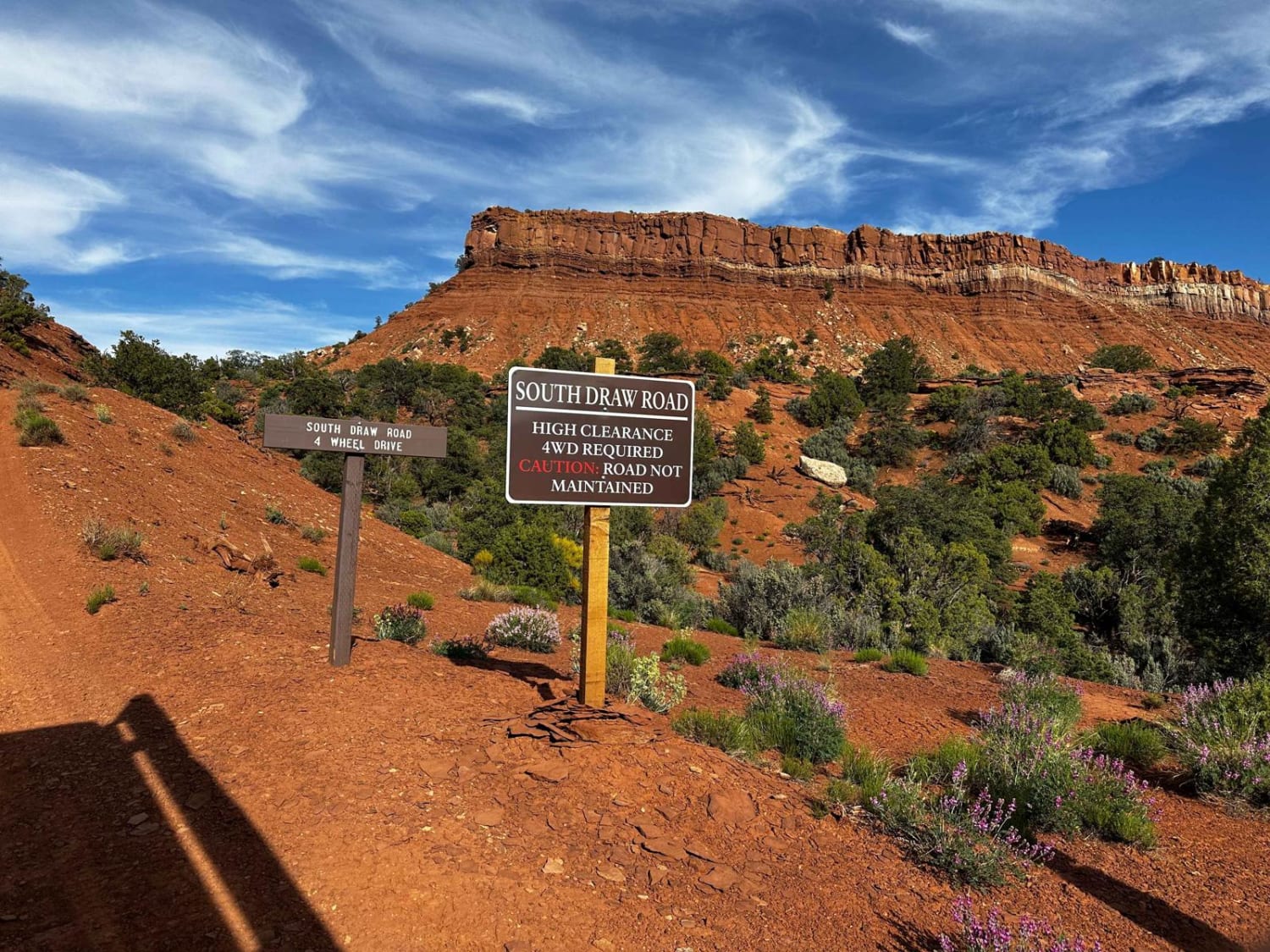
This is an amazing trail (not too technical) that connects from the south end of Capitol Reef NP to the Tantalus Flats trail and comes out by the Lower Bowns reservoir. Most of the trail can be done in 4H, but once or twice it will help to shift her into 4-Lo. Beautiful views and overall a great beginner trail (but very enjoyable by the most seasoned driver as well. Some sections are driven along the actual river bed. One small river crossing at the beginning of the trail (if driving it south, beginning at Capitol Reef), depth will depend on the season, but at the highest, it will be only 3 feet or so. High clearance is required.
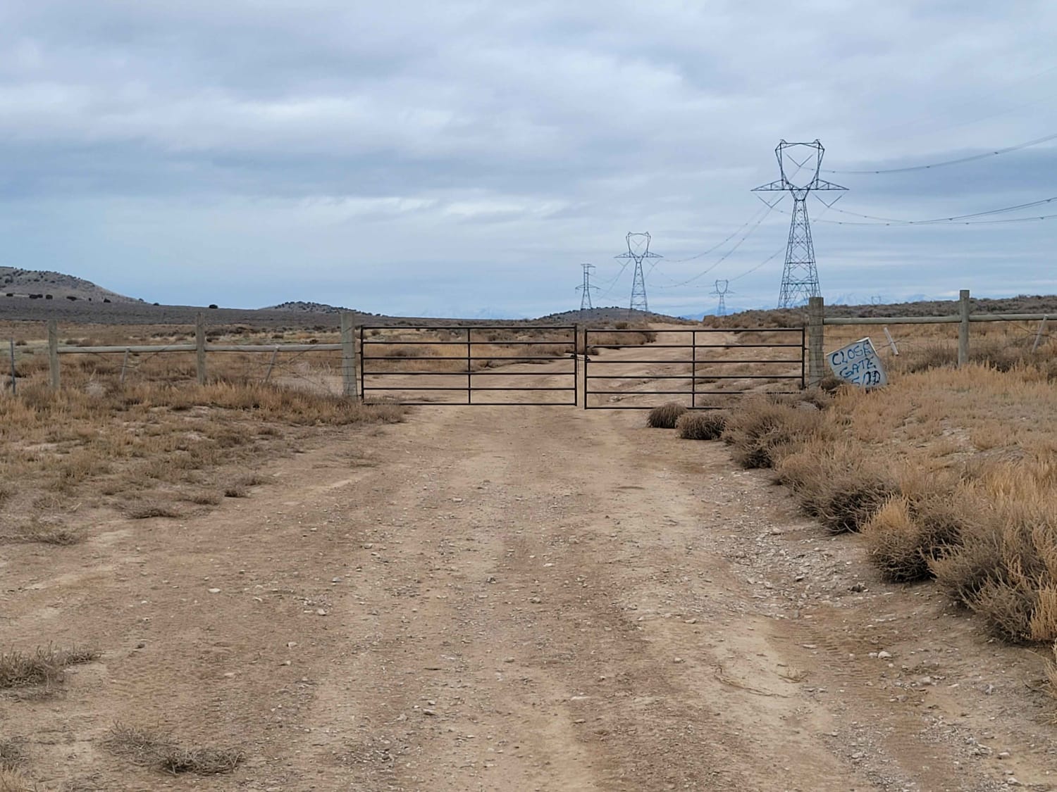
Photos of Pleasant Creek (South Draw Road)
Difficulty
You will come across large ruts, some boulders, water crossings, and gravel.
Status Reports
Popular Trails

Farmington Canyon

Twelve Mile Pass Road

Rose Meadows- FS 40058

Race Track Reservoir
The onX Offroad Difference
onX Offroad combines trail photos, descriptions, difficulty ratings, width restrictions, seasonality, and more in a user-friendly interface. Available on all devices, with offline access and full compatibility with CarPlay and Android Auto. Discover what you’re missing today!


