Rose Meadows- FS 40058
Total Miles
4.7
Technical Rating
Best Time
Spring, Summer, Fall
Trail Type
Full-Width Road
Accessible By
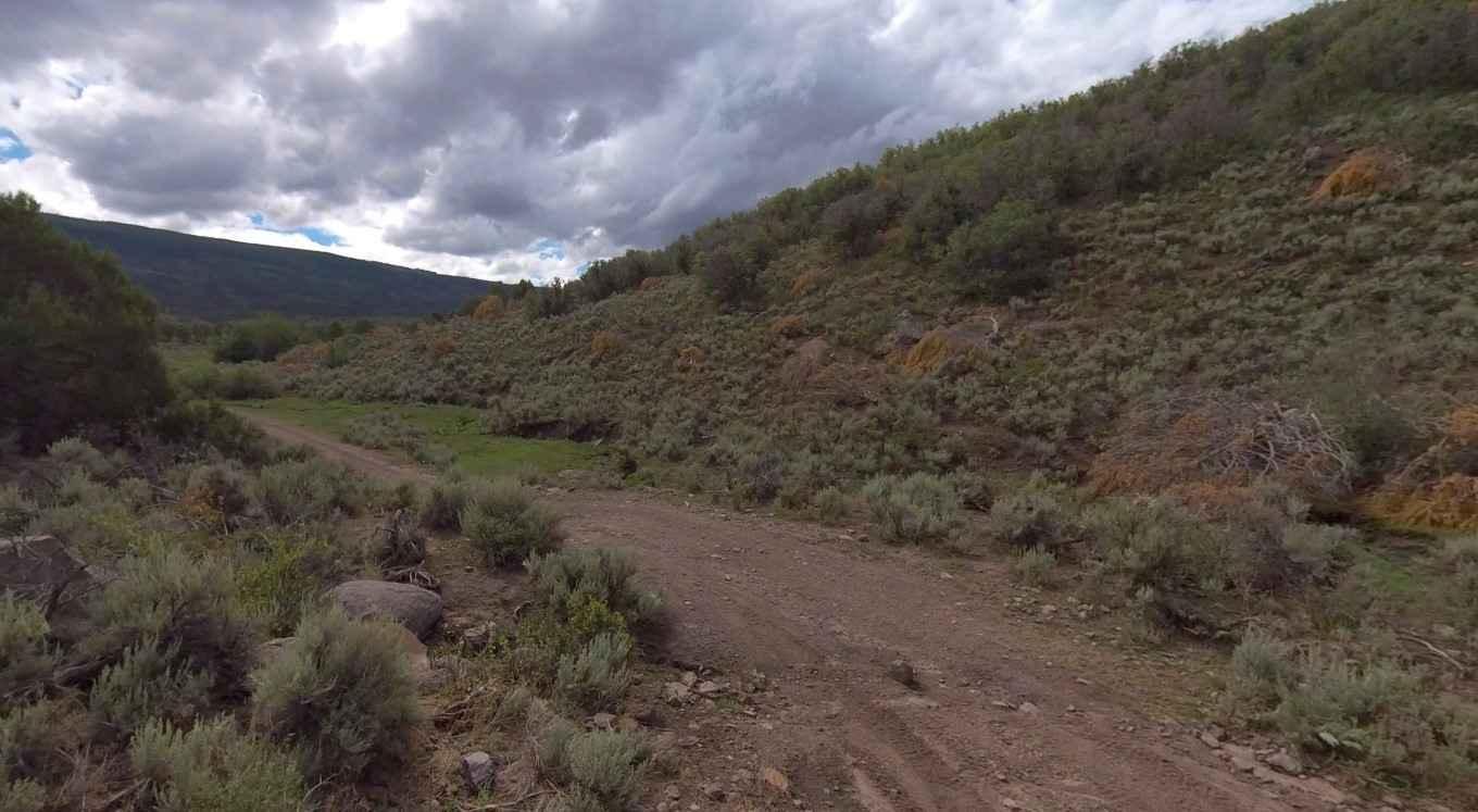
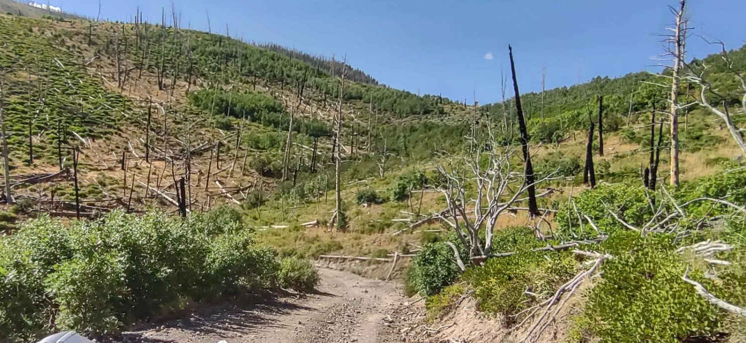
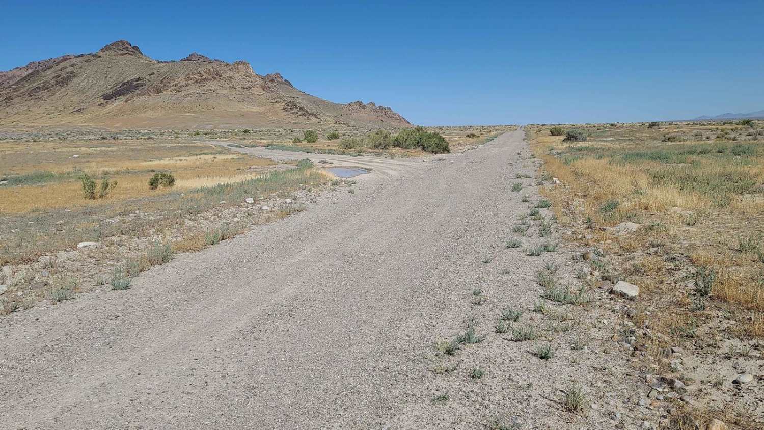
Trail Overview
Rose Meadows is a 4.8-mile point-to-point trail rated 3 out of 10 located in Sevier County and within the Fishlake National Forest, Richfield Ranger District. Little Lost Creek is a graded, unmaintained forest road that is also a portion of the Paiute ATV Trail Network (Trail #52). This trail may be run in either direction but runs south to north when following Paiute Trail #52. There is a nice dispersed camping area on the south side by following FSR43539 to the loop. There is a gate on the south end which marks the border of the national forest (to the east) with Utah State Trust Lands (to the west). This is a single-width trail that can be rocky in sections. A portion of this trail runs along the Little Lost Creek which may flood over onto the road occasionally. This trail is open from April 16th to December 31st. This trail is part of a local 58-mile loop known as Lost Creek-Rose Meadow which includes Lost Creek, Rose Meadow, Lost Creek Rex Reservoir, Tech Flat Road, and Scorups Meadow Road. The entire loop takes about 5-hours to complete. There are several side forest roads that cut across the area. Dispersed camping is allowed, and motor vehicle use off of designated roads and trails for the purpose of dispersed camping is permitted in Fishlake National Forest up to 150 feet from the centerline of the road or trail for the period year-round. Much of the Fishlake National Forest is remote. Medical assistance may not be readily available. Cellular telephones do not work in many areas of the Fishlake National Forest. The nearest services are located to the west in Richfield.
Photos of Rose Meadows- FS 40058

Difficulty
Trail consisting of loose rocks, dirt, and sand with some slickrock surfaces, mud holes possible, no steps higher than 12". 4WD may be required, aggressive tires are always a plus.
Status Reports
Rose Meadows- FS 40058 can be accessed by the following ride types:
- High-Clearance 4x4
- SUV
- SxS (60")
- ATV (50")
- Dirt Bike
Rose Meadows- FS 40058 Map
Popular Trails

Beef Basin Road Loop - San Juan County B104
The onX Offroad Difference
onX Offroad combines trail photos, descriptions, difficulty ratings, width restrictions, seasonality, and more in a user-friendly interface. Available on all devices, with offline access and full compatibility with CarPlay and Android Auto. Discover what you’re missing today!