Poison Spring Canyon
Total Miles
41.6
Technical Rating
Best Time
Spring, Summer, Fall
Trail Type
Full-Width Road
Accessible By
Trail Overview
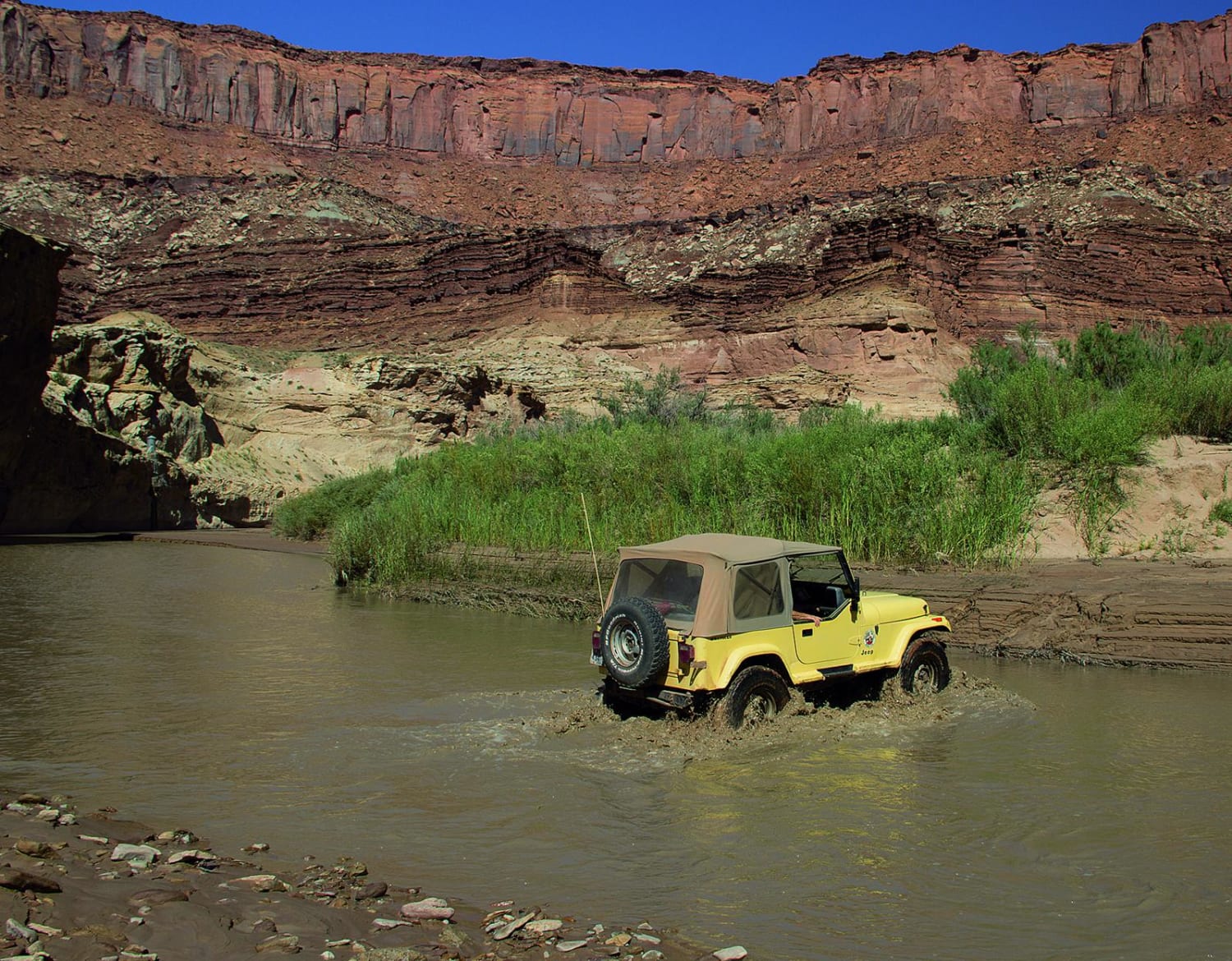
Poison Springs Canyon is a rough, rarely used road so come prepared, carry extra gas, don't travel alone, and check water flow rates for Dirty Devil River before traveling. The road descends to Dirty Devil River through windy, high canyon walls. Once on the valley floor you'll follow the wash bottoms before climbing toward Sunset Pass. Enjoy beautiful views of Gunsight Butte on the climb. No unlicensed vehicles in Glen Canyon NRA.
Photos of Poison Spring Canyon
Difficulty
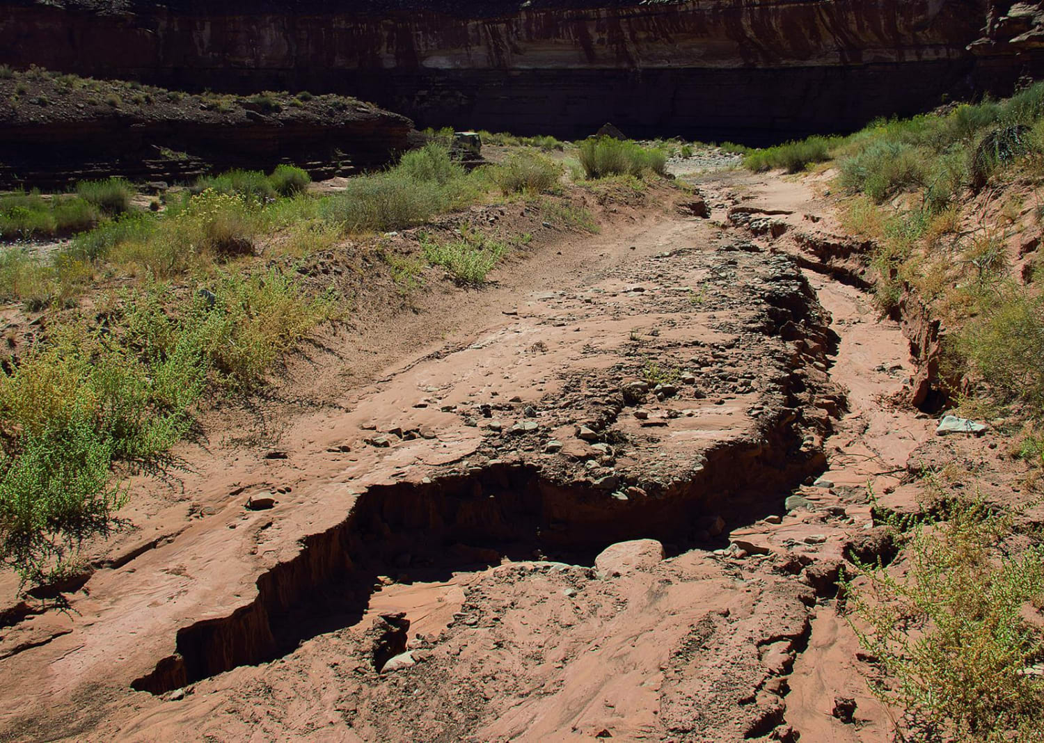
Moderate. Road prone to washouts after heavy rain storms and may be impassable at times. We found deep, soft mud on west side of river crossing. Flash floods are always possible.
Status Reports
Poison Spring Canyon can be accessed by the following ride types:
- High-Clearance 4x4
- SUV
Poison Spring Canyon Map
Popular Trails

Bates Canyon Trail Access To Erda Lookout

Roy's Elk Bugling Trail

Pine Valley Road
The onX Offroad Difference
onX Offroad combines trail photos, descriptions, difficulty ratings, width restrictions, seasonality, and more in a user-friendly interface. Available on all devices, with offline access and full compatibility with CarPlay and Android Auto. Discover what you’re missing today!


