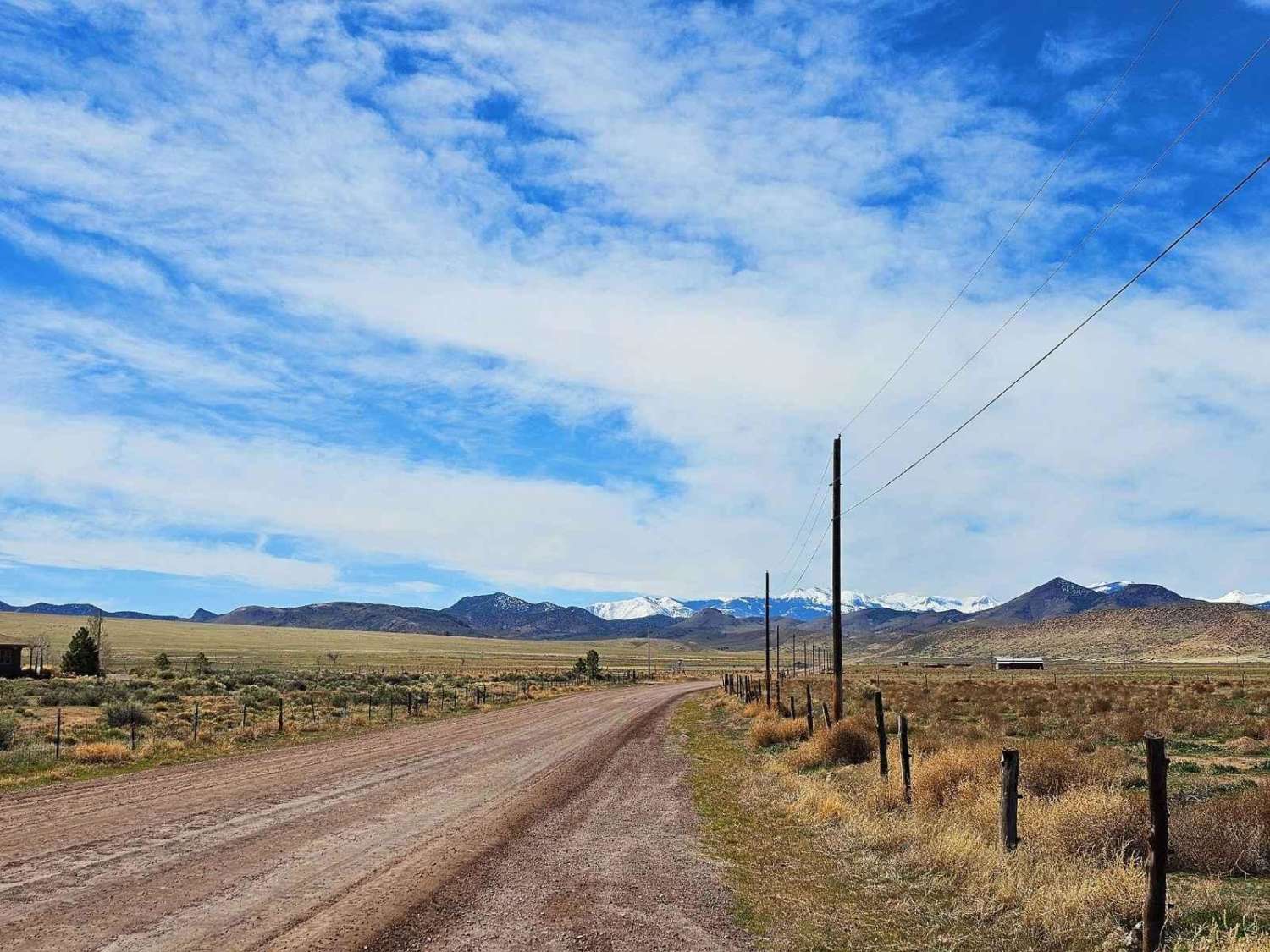
Poverty Flat Road
Total Miles
4.3
Elevation
1,904.14 ft
Duration
0.2 Hours
Technical Rating
Best Time
Spring, Summer, Fall
Trail Overview
This is an easy road to travel on and has a breathtaking landscape to go with it. Nestled against Monroe Mountain, you will see all sorts of wildlife by the trail. There are also a bunch of old mines along the trail and you can see their tailing piles and the old portals. This area was known for uranium and iron deposits back in the day and most of these mines still have some side trails that lead up to the sites from this main road. This trail is wide enough for two full-size vehicles to pass by with no problem and is maintained.
Photos of Poverty Flat Road
Difficulty
This is an easy trail. There is one small hill climb that is easy to do as long as it's not wintertime or after heavy rain. Ice will be on the hills in the winter with packed snow as well. In the summer and springtime, there may be mud going up the hill which will require 4x4 drive. Besides that, the roads are maintained and smooth.
Status Reports
Popular Trails

Seaman Wash Road-BLM563-KC3400
Red Mountain West Access-Vernal
Pinenut Flat Trail

South Fork Greenwich Creek
The onX Offroad Difference
onX Offroad combines trail photos, descriptions, difficulty ratings, width restrictions, seasonality, and more in a user-friendly interface. Available on all devices, with offline access and full compatibility with CarPlay and Android Auto. Discover what you’re missing today!

