Powerline "Plus"
Total Miles
3.0
Technical Rating
Best Time
Summer, Fall
Trail Type
60" Trail
Accessible By
Trail Overview
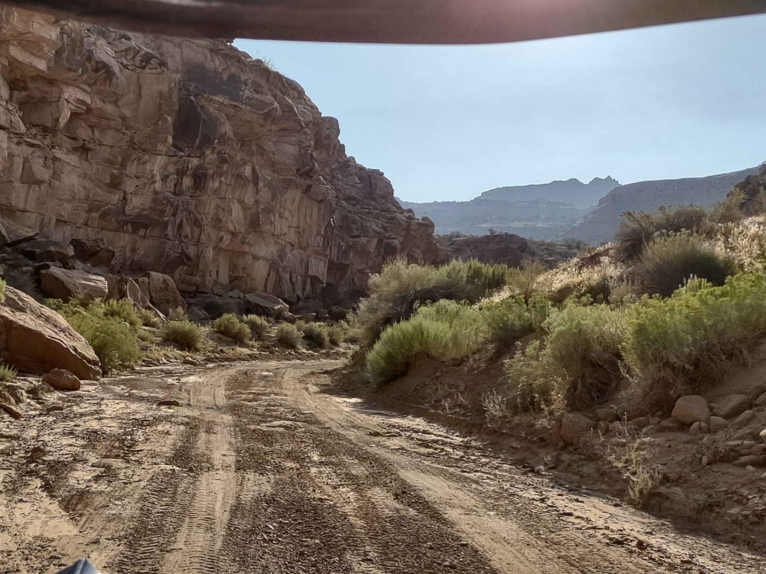
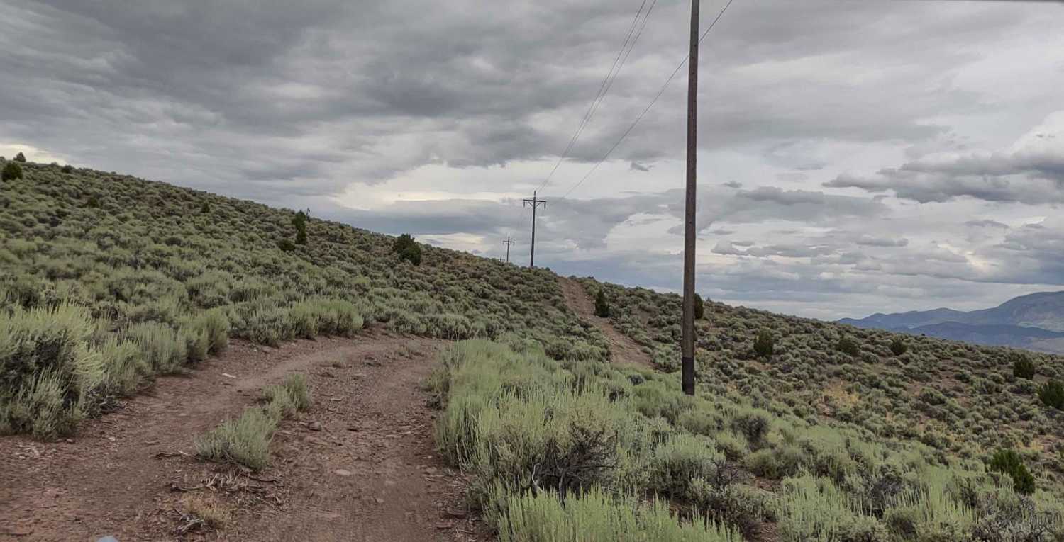
This is another section of the powerline trail that runs parallel to Highway 89 south of Marysvale, Utah. This section follows the curves of the hills as you cross BLM and Utah State Trust Lands, instead of going underneath the powerlines. It's a fun trail that rises up to an elevation high enough to get a good view of Piute Reservoir. Towards the north end of the trail, there is a creek to cross, and in late August, it was doable. Beyond the creek, the trail goes through a fence (that someone took down) and to a circular parking area right along Highway 89. The creek may not be passable too early in the spring.
Photos of Powerline "Plus"
Difficulty
This trail is easy. The water crossing is a deep creek, and depending on how full and/or wide it is, the difficulty level will go up.
Status Reports
Powerline "Plus" can be accessed by the following ride types:
- SxS (60")
- ATV (50")
- Dirt Bike
Powerline "Plus" Map
Popular Trails

Tusher Canyon Trail

Lower Finger Ridge

Baxter Sawmill Overlook

Teat Mountain ATV #202
The onX Offroad Difference
onX Offroad combines trail photos, descriptions, difficulty ratings, width restrictions, seasonality, and more in a user-friendly interface. Available on all devices, with offline access and full compatibility with CarPlay and Android Auto. Discover what you’re missing today!

