Teat Mountain ATV #202
Total Miles
3.2
Technical Rating
Best Time
Spring, Summer, Fall
Trail Type
50" Trail
Accessible By
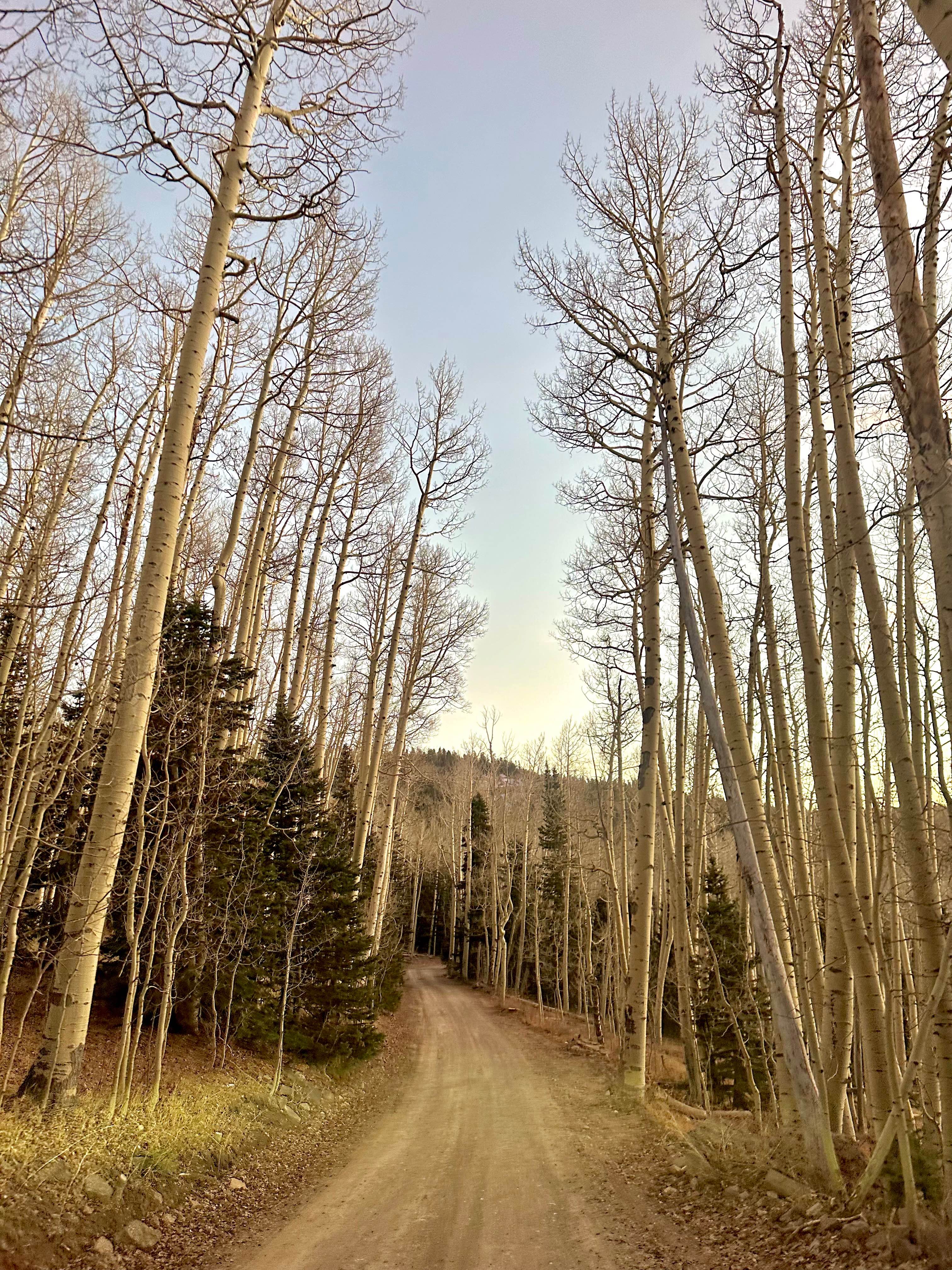
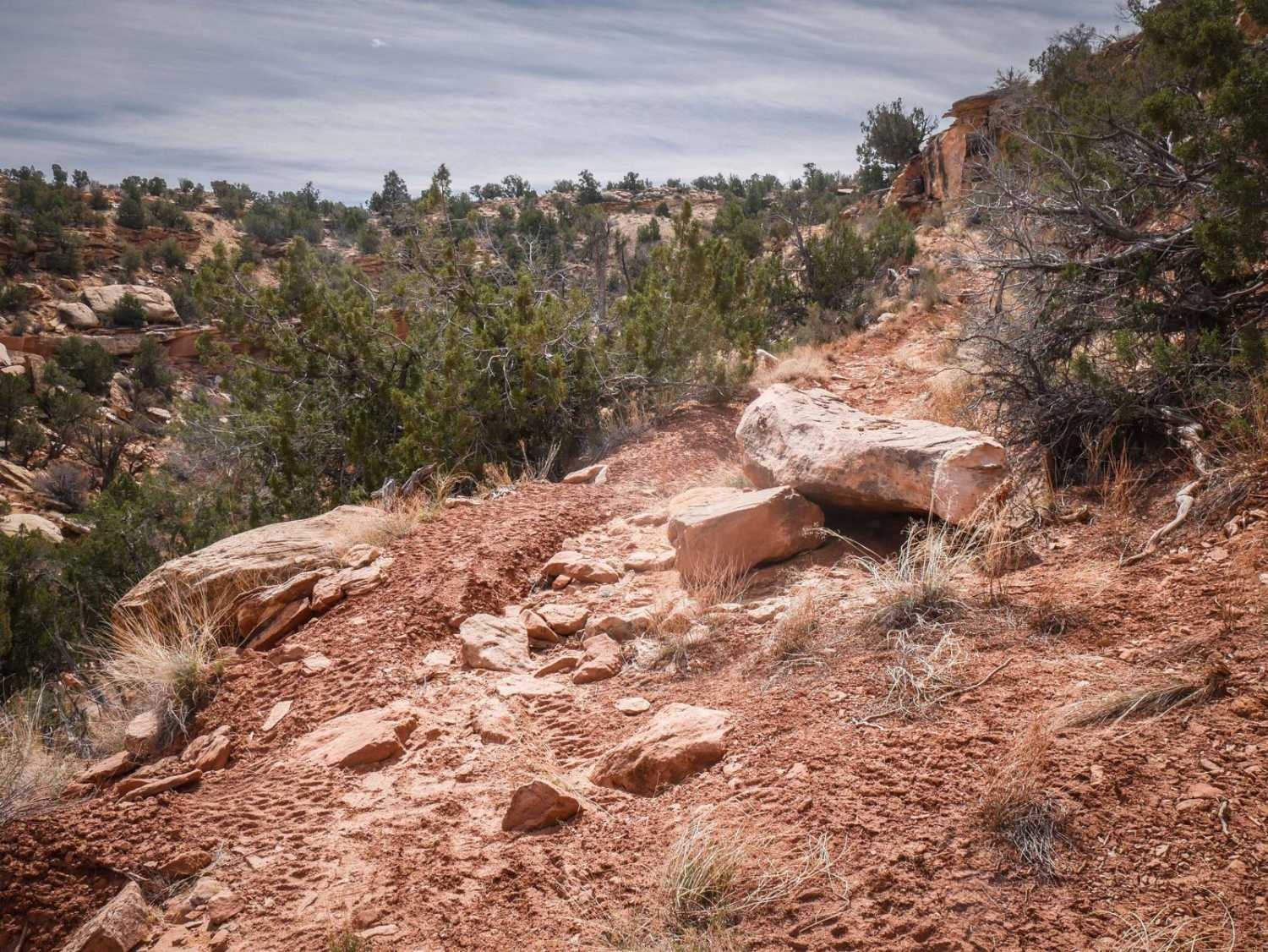
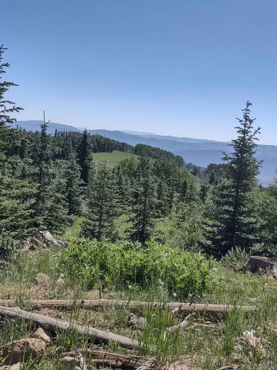
Trail Overview
The 3.2-mile-long Teat Mountain ATV trail starts on the south end right off of Highway 6 at a dirt turnoff. It gains almost 2,700 feet in elevation as it goes north towards Teat Mountain Road, and ends at 8,300 feet in elevation near the summit of Teat Mountain. The climb is pretty steep and challenging in either direction whether you are going up or down, because the surface of the trail is covered in loose rocks. It goes along the spine of the mountain and is pretty rutted out and overgrown with grass. This trail is more challenging because it's so steep and loose and has small embedded rock ledges. Some sections are even rockier and full of loose round rocks. It curves through the pine trees, and you can connect to the Knoll Hollow ATV trail about halfway through.
Photos of Teat Mountain ATV #202


Difficulty
This is a 5 difficulty due to steepness. It doesn't zig and zag like a typical trail; it goes straight up. It also has small rock ledges a foot tall on the steepest, loosest climbs.
Teat Mountain ATV #202 can be accessed by the following ride types:
- ATV (50")
- Dirt Bike
Teat Mountain ATV #202 Map
Popular Trails
Sugar Loaf Mountain

Tropic Reservoir West Side
Big Flat Long Flat (FS 40581/Paiute D-3/Trail 1A)
The onX Offroad Difference
onX Offroad combines trail photos, descriptions, difficulty ratings, width restrictions, seasonality, and more in a user-friendly interface. Available on all devices, with offline access and full compatibility with CarPlay and Android Auto. Discover what you’re missing today!