Recapture Rim Trail
Total Miles
5.7
Technical Rating
Best Time
Spring, Summer, Fall, Winter
Trail Type
60" Trail
Accessible By
Trail Overview
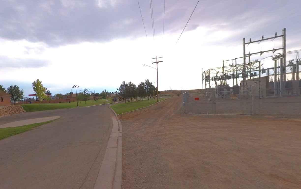
Recapture Rim Trail is a 5.9-mile ATV/UTV/Motorcycle -only point-to-point trail rated 3 of 10 located in San Juan County. This trail is the closest trail to the now-closed Recapture Canyon. The trail starts on the eastern side of Blanding and after passing multiple farm fields arrives at the western rim of the Recapture Canyon. Continuing south the trail ends at the Browns Canyon Trailhead which provides non-motorized access into Recapture Canyon. The canyon is now restricted to hiking only. There is no designated trail from the rim into the canyon as most of the western rim includes a sheer cliff line. Recapture Canyon is now limited to one motorized trail from the north to a trailhead. Access into the canyon proper is limited to non-motorized traffic. The canyon contains dwellings, burial sites, and artifacts of the Ancient Pueblo peoples, including cliff dwellings built between 1150 and 1300 AD. Recapture Canyon area had been used extensively by locals for many years recreational activities as well as livestock grazing. Recapture Canyon is known for its abundance of cultural resource sites and it has become a popular recreation destination. The BLM closed 1,871 acres of public lands in September 2007. It took 10 years but in 2017 the BLM announced a final trail management plan which opened several trails above the rim and a single trail within the canyon to a termination point (non-motorized trailhead) from the north. The Recapture Rim Trail was created from a portion of the Pacheco ATV/UTV trail and a segment that runs south along the rim of the canyon. Cell phone service is intermittent and the nearest services are in Blanding.
Photos of Recapture Rim Trail
Difficulty
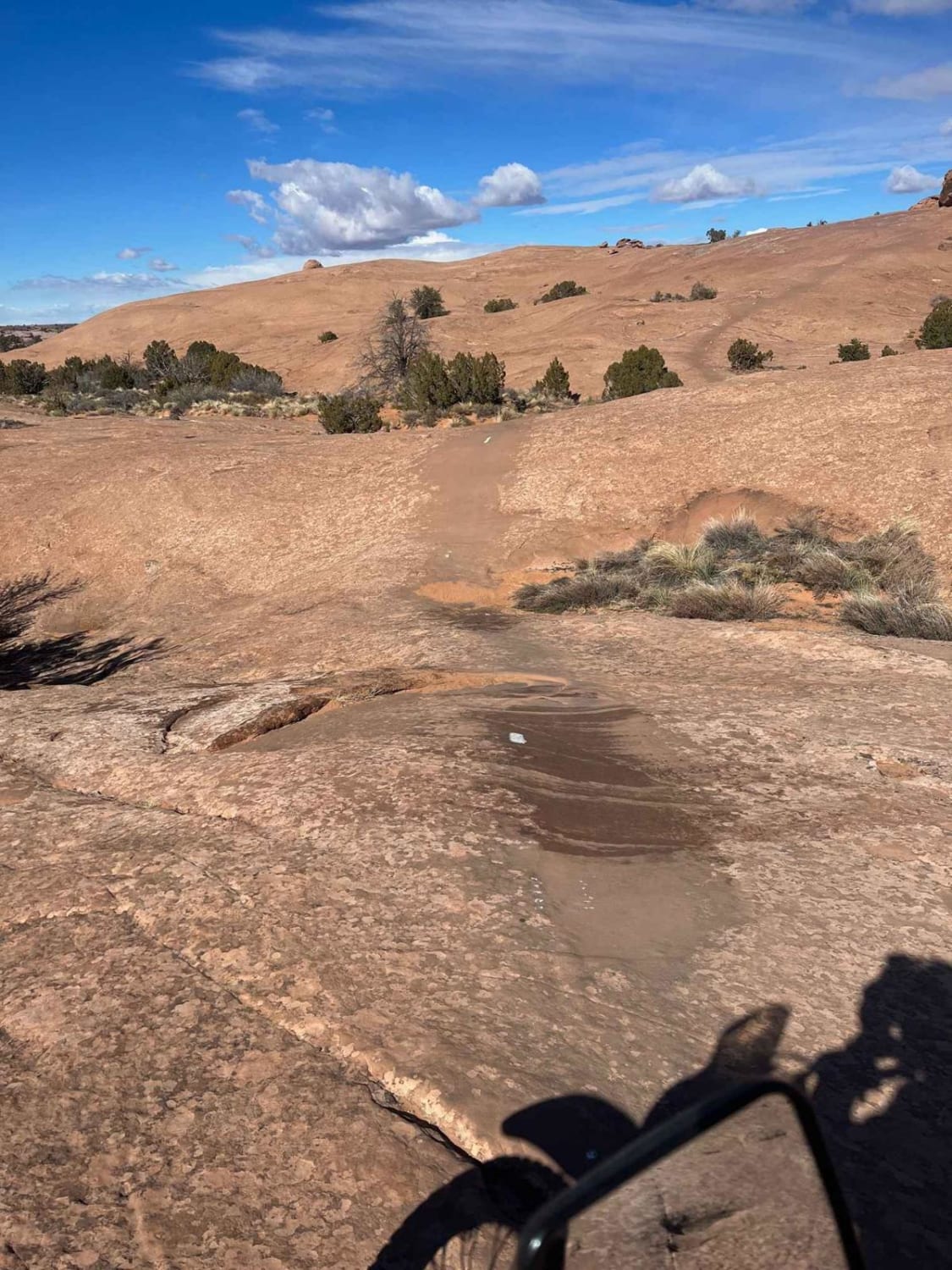
Trail consisting of loose rocks, dirt, and sand with some slick rock surfaces, mud holes possible, no steps higher than 12". 4WD may be required, aggressive tires are a plus.
Status Reports
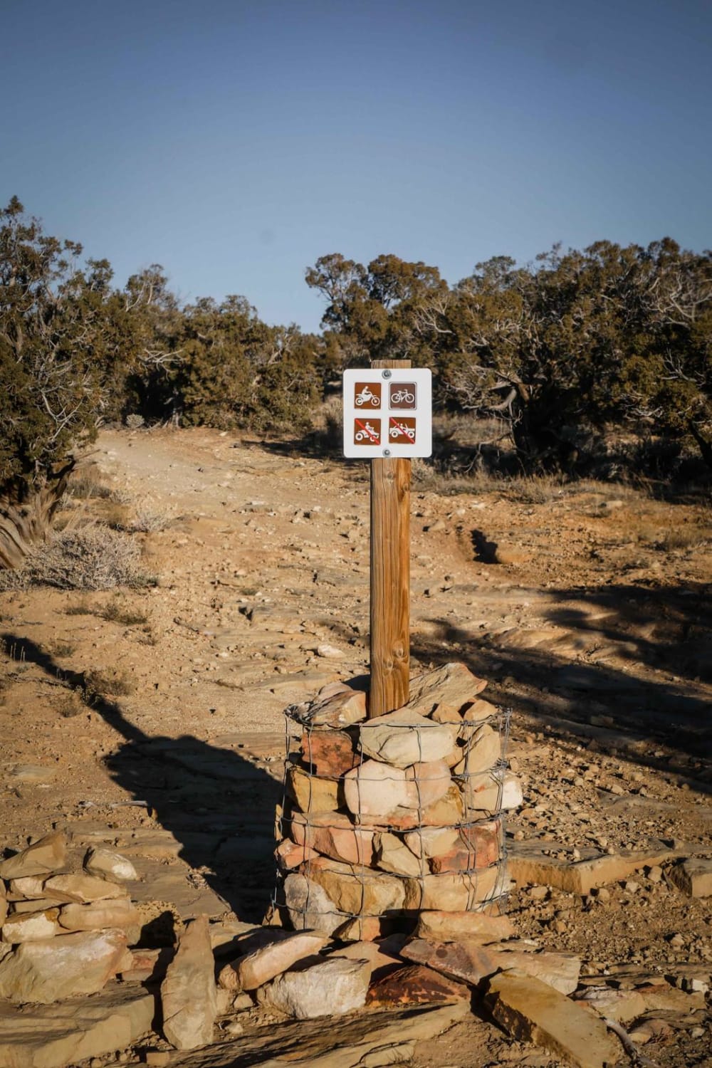
Recapture Rim Trail can be accessed by the following ride types:
- SxS (60")
- ATV (50")
- Dirt Bike
Recapture Rim Trail Map
Popular Trails

Slickrock Trail Practice Loop

Forest Service 114

Overlook Trail Part 1

Lost Spring Wash
The onX Offroad Difference
onX Offroad combines trail photos, descriptions, difficulty ratings, width restrictions, seasonality, and more in a user-friendly interface. Available on all devices, with offline access and full compatibility with CarPlay and Android Auto. Discover what you’re missing today!

