Revenue Gulch to Rainbow Road
Total Miles
3.5
Technical Rating
Best Time
Summer, Fall
Trail Type
60" Trail
Accessible By
Trail Overview
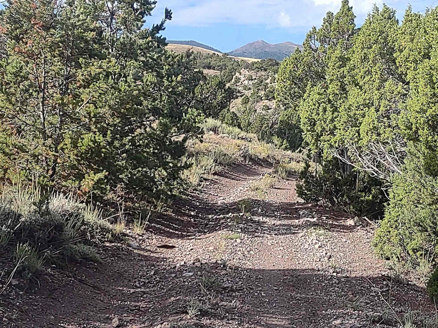
This fun little trail begins and ends at Paiute ATV Trail Beaver Creek over the Tushars, and if you start this track at the west end, you begin by crossing Beaver Creek. In the early spring, this crossing may be challenging. It was deep and fast in late August after the monsoon rains, but we could cross. It's a steep drop off the Paiute ATV Trail Beaver Creek over the Tushars trail, and the creek has large rocks. You go upstream for a car length and then exit onto the other bank, a more accessible slope. The trail winds through the willow bushes, and sagebrush surrounds the hills. Then, the trail goes up on the hills mountain. The mountains in this area are steep, and the views from the top of Marysvale, the valley, and the Sevier River are lovely. We rode it in our 72" SXS, and we fit, but I don't know if a full-size 4WD would fit. There would be some Utah pinstriping.
Photos of Revenue Gulch to Rainbow Road
Difficulty
There are loose rocks on part of the trail, the water crossing can easily be a foot deep or more, and the hills are steep.
Status Reports
Revenue Gulch to Rainbow Road can be accessed by the following ride types:
- SxS (60")
- ATV (50")
- Dirt Bike
Revenue Gulch to Rainbow Road Map
Popular Trails

Erz Connector

Roaring Rim Bypass

Twister Shortcut

Old Canyon Road
The onX Offroad Difference
onX Offroad combines trail photos, descriptions, difficulty ratings, width restrictions, seasonality, and more in a user-friendly interface. Available on all devices, with offline access and full compatibility with CarPlay and Android Auto. Discover what you’re missing today!

