Rex Peak
Total Miles
5.0
Technical Rating
Best Time
Spring, Summer, Fall
Trail Type
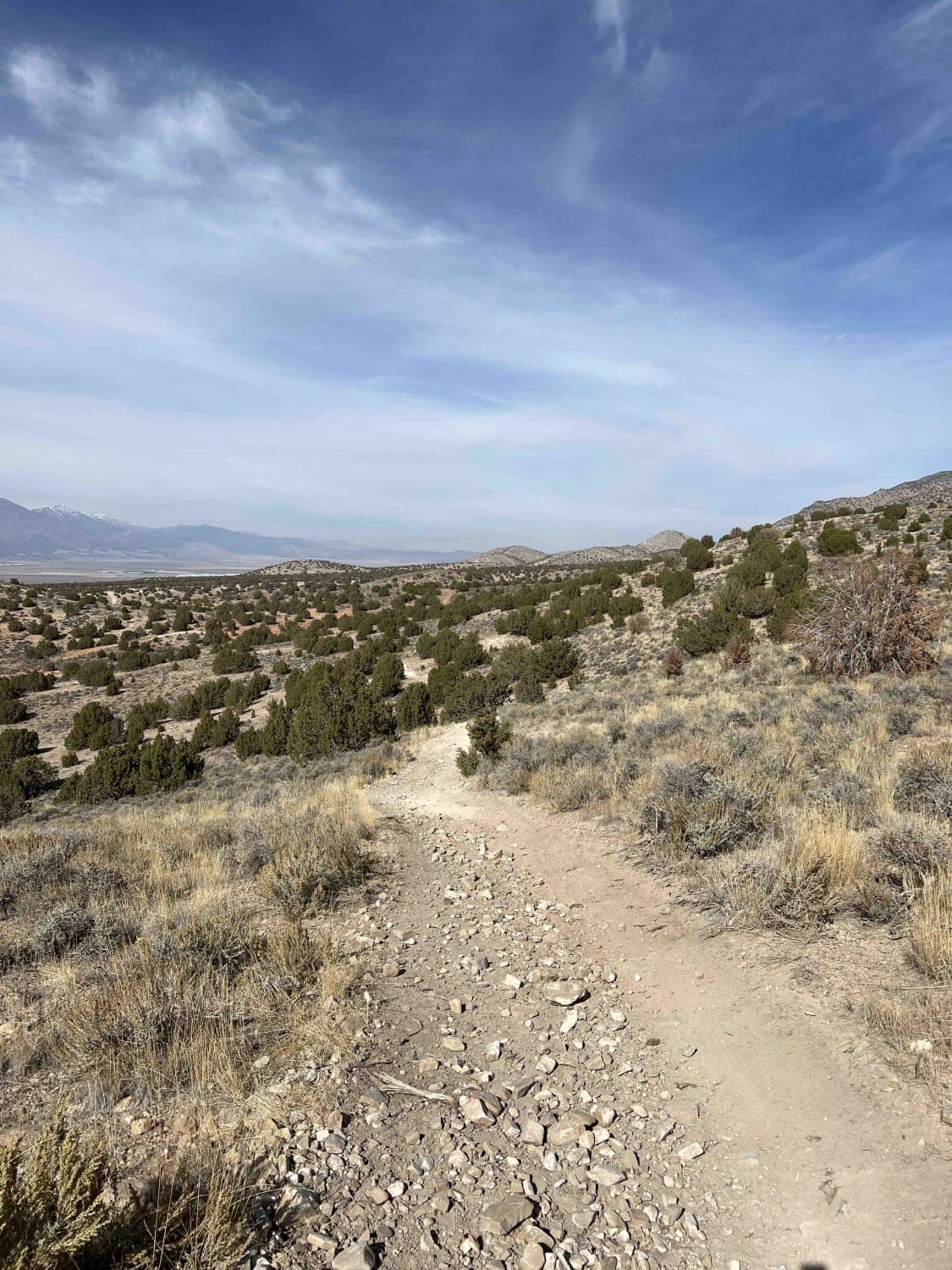
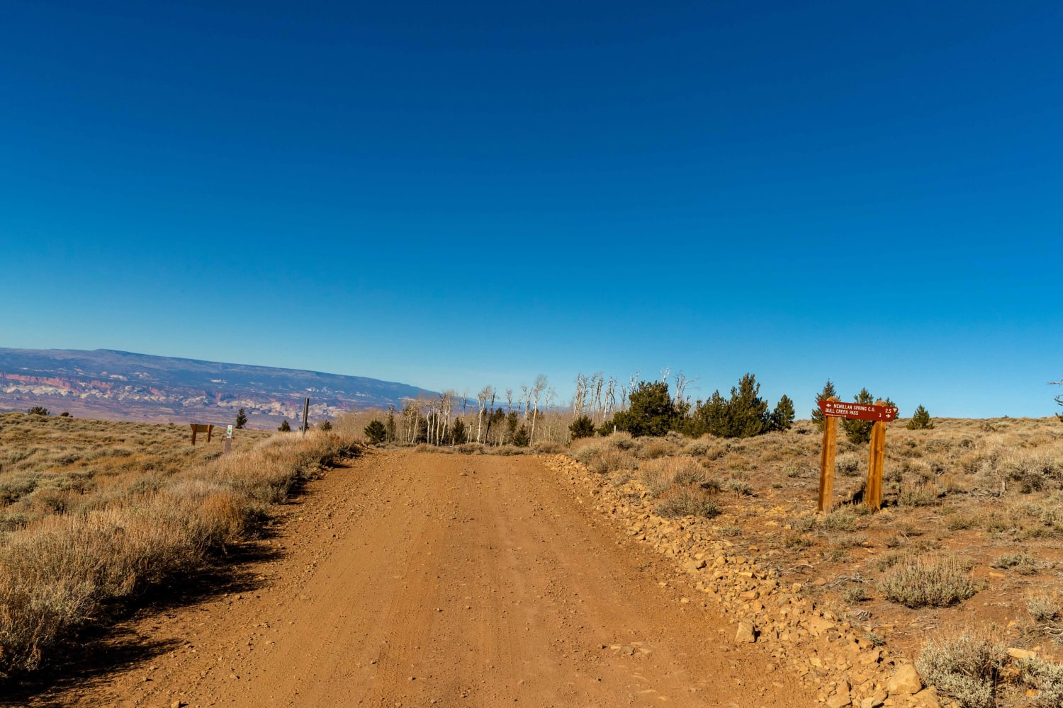
Full-Width Road
Accessible By
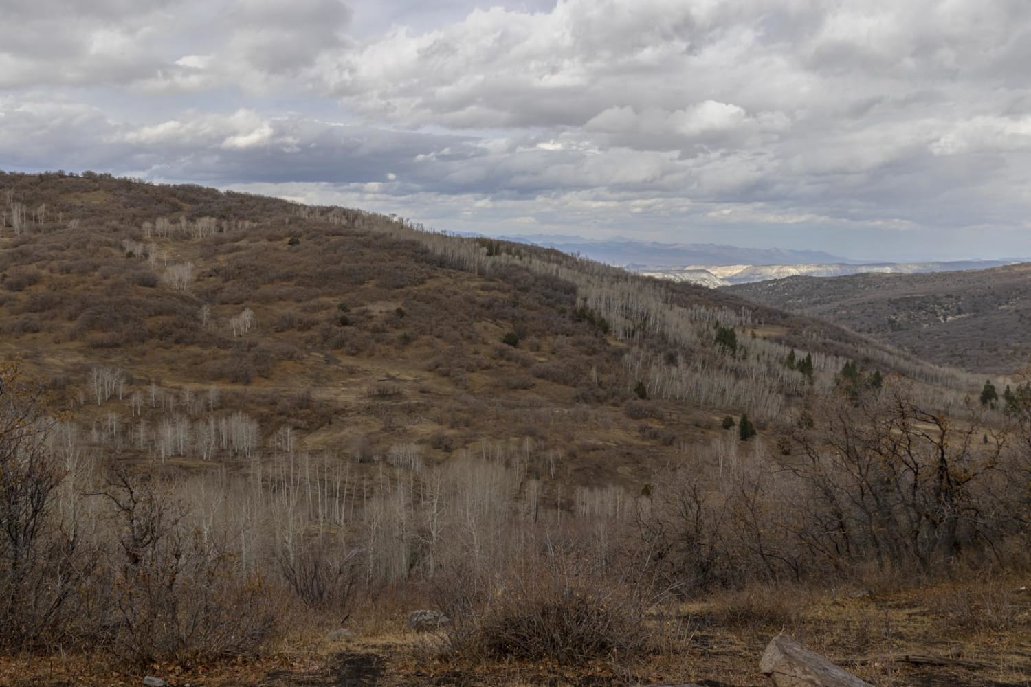
Trail Overview
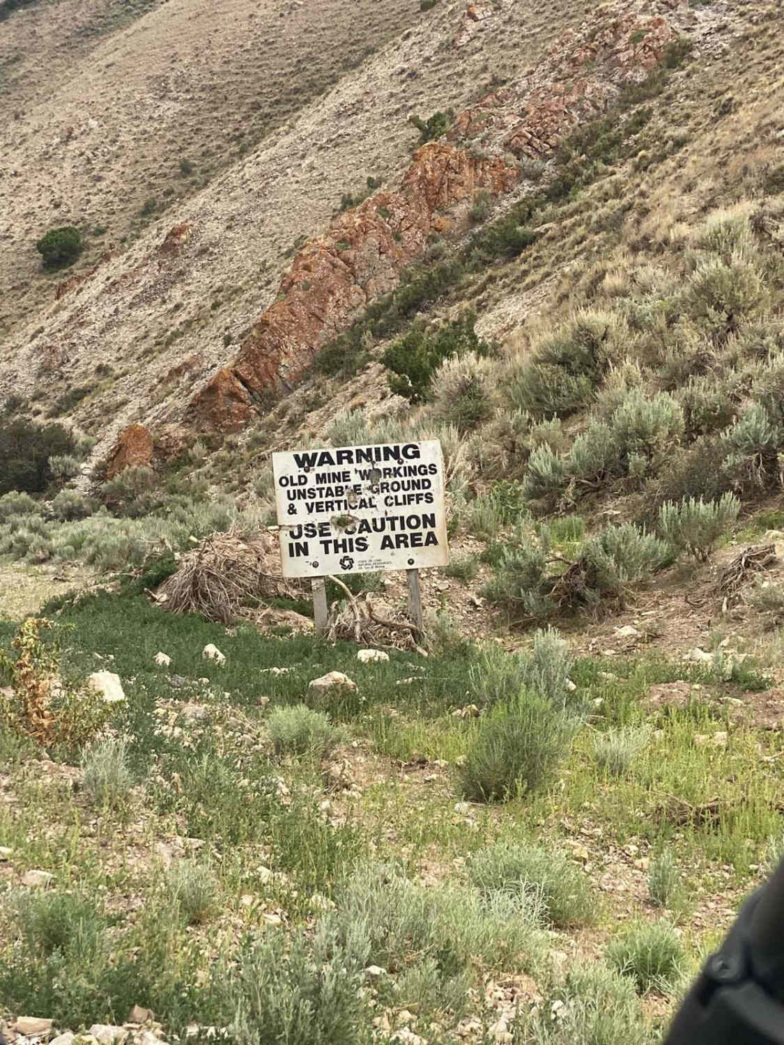
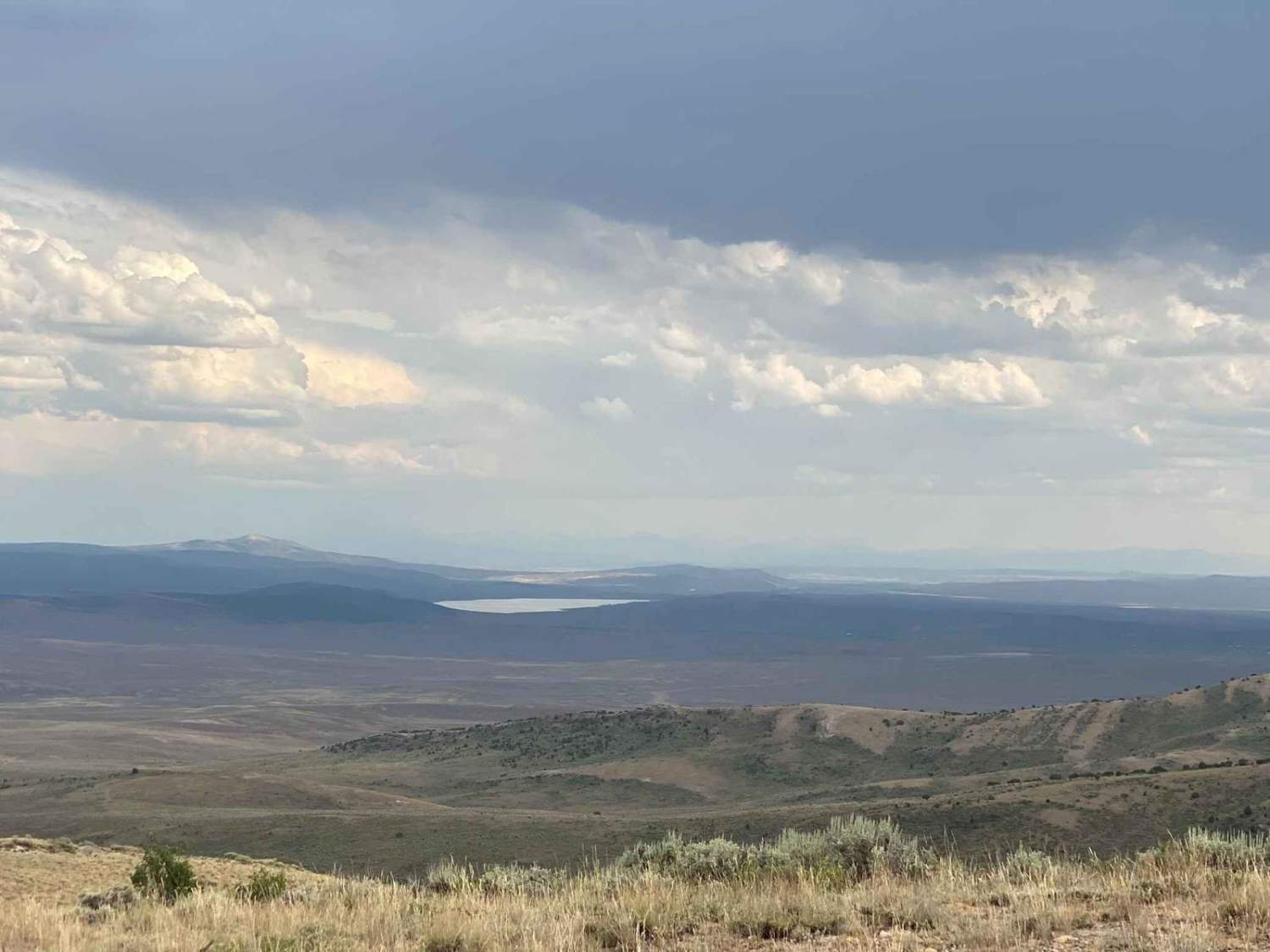
The route is mapped as an out-and-back trail yet offers numerous side trails for those seeking adventure. It represents the pinnacle of the Crawford Mountains near Randolph, UT, beginning in a deep canyon and culminating at the mountain chain's summit, Rex Peak. There are several closed mines along the route and sweeping views over Randolph, and towards Wyoming to the east.
Photos of Rex Peak
Difficulty
Wide and well-graded access road. Some steeper sections could provide a challenge in inclement weather.
History
Former BLM mining leases now abandoned. No structures left, but mineshafts and their associated warnings are present
Status Reports

Popular Trails

Racetrack Cutoff (FR 70203)
The Front 9
Nasty Flat Road
Sheep Creek Road
The onX Offroad Difference
onX Offroad combines trail photos, descriptions, difficulty ratings, width restrictions, seasonality, and more in a user-friendly interface. Available on all devices, with offline access and full compatibility with CarPlay and Android Auto. Discover what you’re missing today!