Salt Valley - Yellow Cat
Total Miles
10.0
Elevation
1,521.31 ft
Duration
2 Hours
Technical Rating
Best Time
Spring
Trail Overview
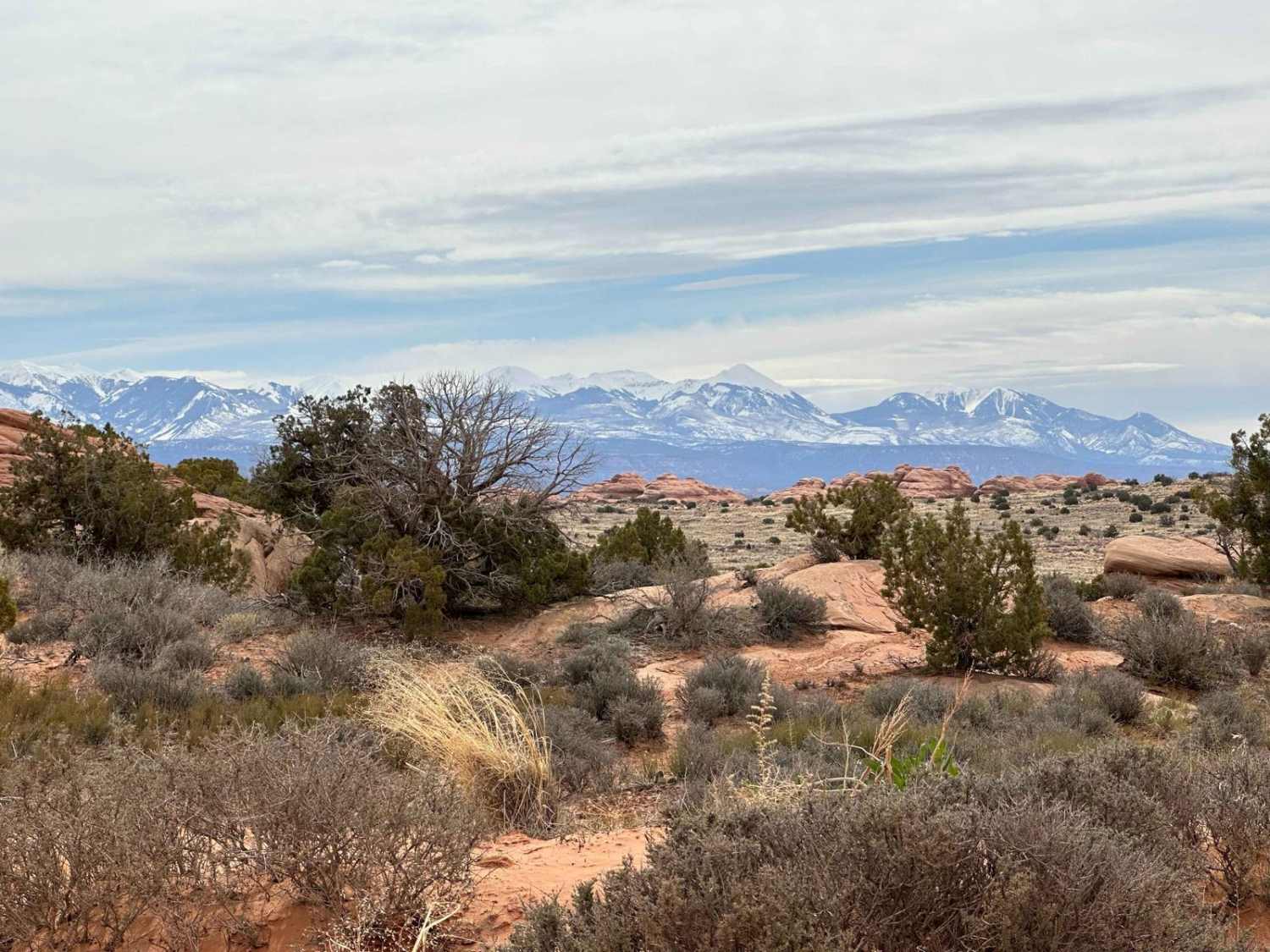
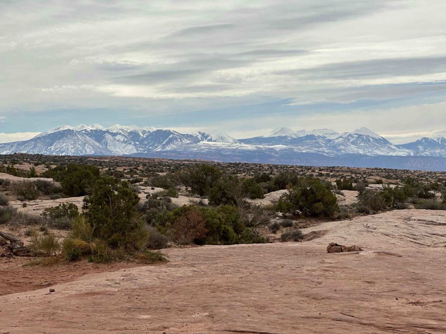
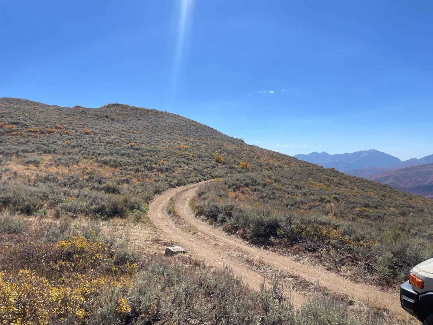
This is a slick rock and sandy 4WD high-clearance trail with a short section of paved road connecting the Willow Springs Road access point off US 191 north of the Arches National Park main entrance station north of Moab. It proceeds into Arches National Park (no OHVs allowed past the National Park fence on the east end of Willow Springs Road), and then the route turns into a gravel road into Salt Valley. It continues as a dirt road north into the Yellow Cat mining area and back to US 191, not far south of I-70. This is a great family ride with lots of side trips of varying difficulties!
Photos of Salt Valley - Yellow Cat
Difficulty
4WD high-clearance is advised; some side trips like Tower Arch are level 5 or above with steep and long sandy hills and rocky ledges; Willow Springs and Yellow Cat Roads are sandy, dusty, and can be impassable when wet. OHVs are not allowed into Arches National Park.
History
Most roads are mining roads in this area, with a few short paved sections developed by Arches National Park. Note that local mines were all for toxic substances, so radon dangers exist (uranium and vanadinite).
Popular Trails
Little Lost Creek
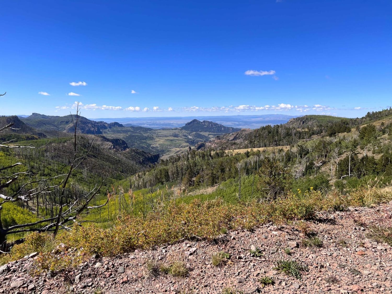
Mount Dutton - Cottonwood (30125/30353)
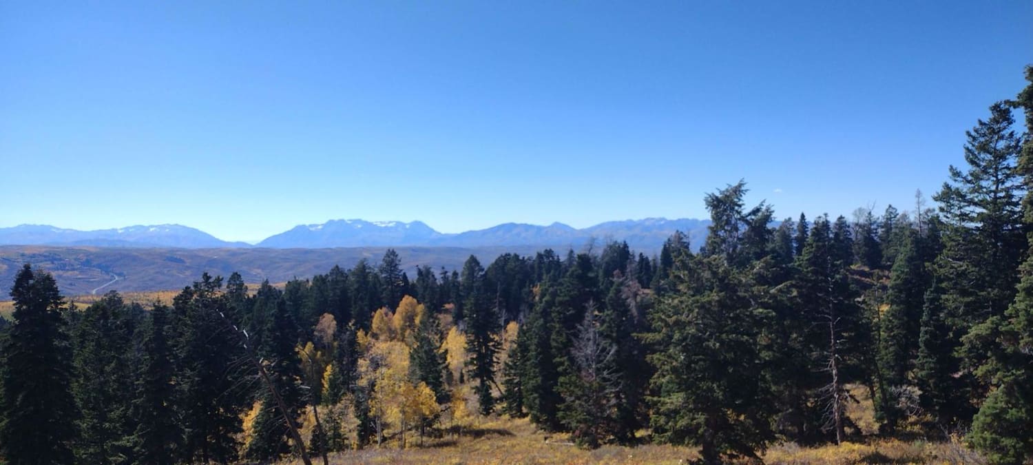
FS 80200 Cedar Hollow North 1
The onX Offroad Difference
onX Offroad combines trail photos, descriptions, difficulty ratings, width restrictions, seasonality, and more in a user-friendly interface. Available on all devices, with offline access and full compatibility with CarPlay and Android Auto. Discover what you’re missing today!
