Shumway Mines
Total Miles
1.8
Technical Rating
Best Time
Spring, Fall
Trail Type
High-Clearance 4x4 Trail
Accessible By
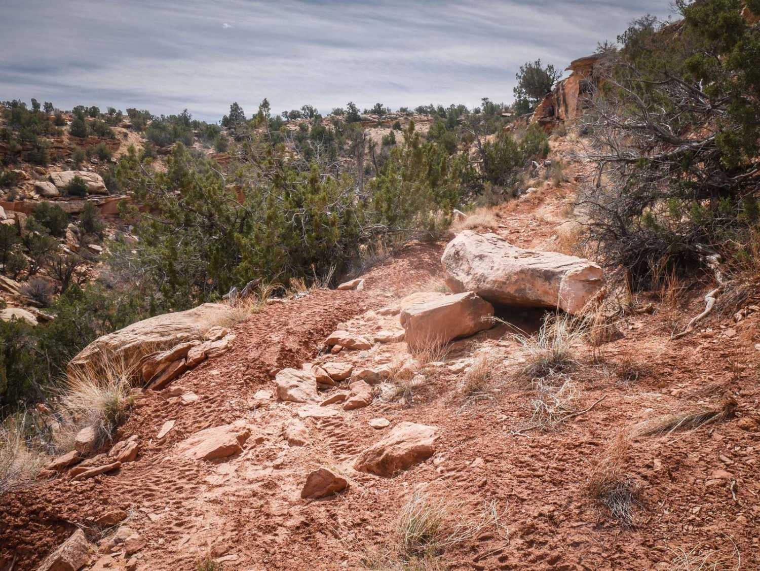
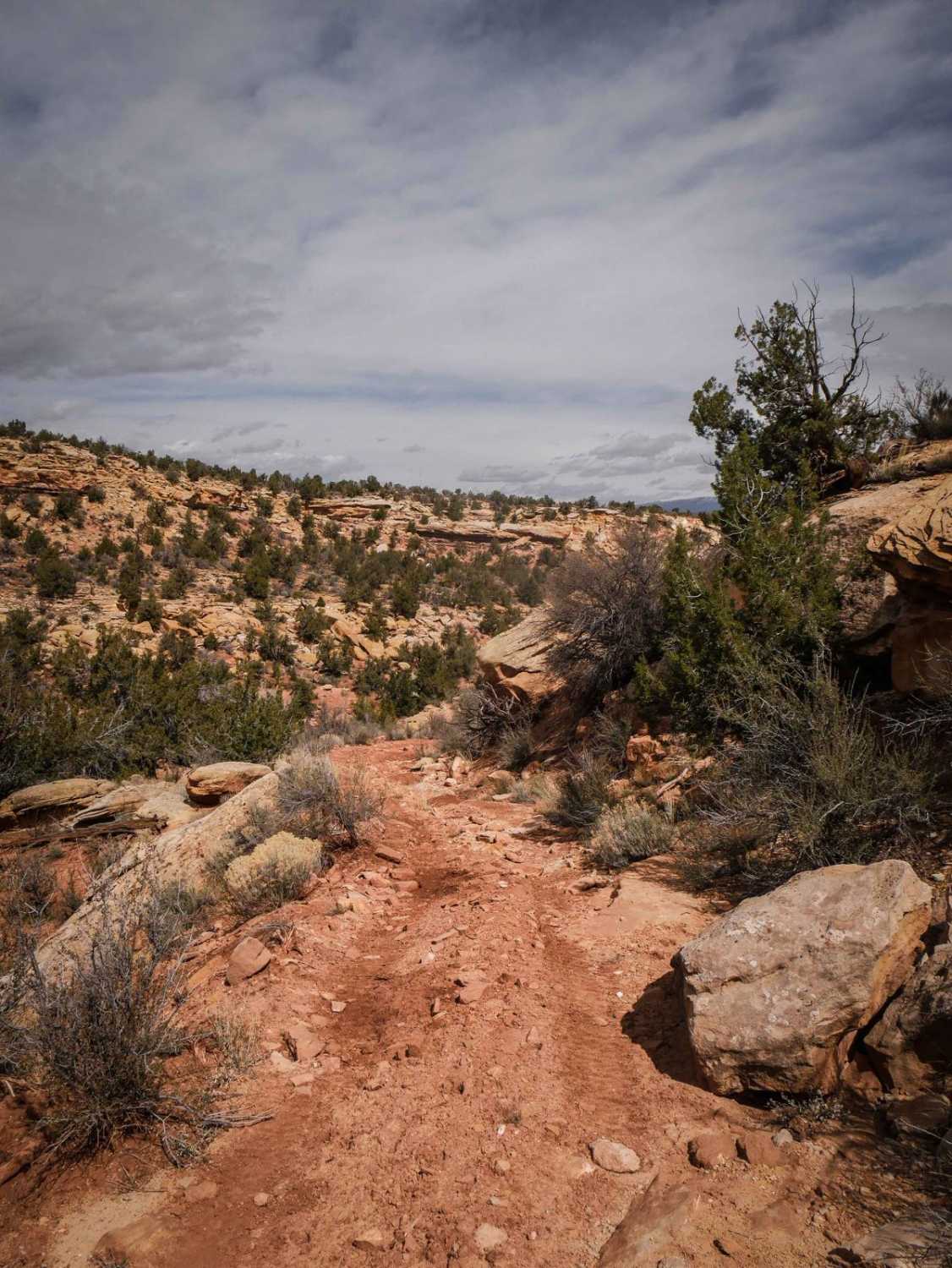
Trail Overview
This is a narrow trail that departs from Road 274, heads west on a windy track, and dead-ends after 2 miles. It has shallow ruts and loose rocks and a short steeper section in the beginning. It turns into a shelfy road on a hillside. The harder parts of the trail are when it goes through narrow sections of slab rock on the shelf road with hairpin turns before it drops down to a wash. It has more sections of shelfy trail elevated above a ravine and becomes more faint, as it doesn't get much use. There's a shelfy, off-camber, rocky section to get through with boulders on the side of the trail. It keeps going around the rim of the mesa, chokes down, and gets trickier, as it gets even more narrow with big rocks in the trail. It dead-ends at nowhere in particular. This trail would be more technical for a Jeep because of its narrowness. It is probably more suited for a UTV/ATV.
Photos of Shumway Mines
Difficulty
This is an intermediate trail due to exposed sections that are rocky, narrow, and off-camber.
Status Reports
Shumway Mines can be accessed by the following ride types:
- High-Clearance 4x4
- SxS (60")
- ATV (50")
- Dirt Bike
Shumway Mines Map
Popular Trails
Water Tower Overlook
Up & Out Of Oak Patch Wash

Nephi Pasture Road

The onX Offroad Difference
onX Offroad combines trail photos, descriptions, difficulty ratings, width restrictions, seasonality, and more in a user-friendly interface. Available on all devices, with offline access and full compatibility with CarPlay and Android Auto. Discover what you’re missing today!