Slow Elk Road-JC8122901
Total Miles
11.7
Elevation
1,594.50 ft
Duration
0.5 Hours
Technical Rating
Best Time
Spring, Summer, Fall, Winter
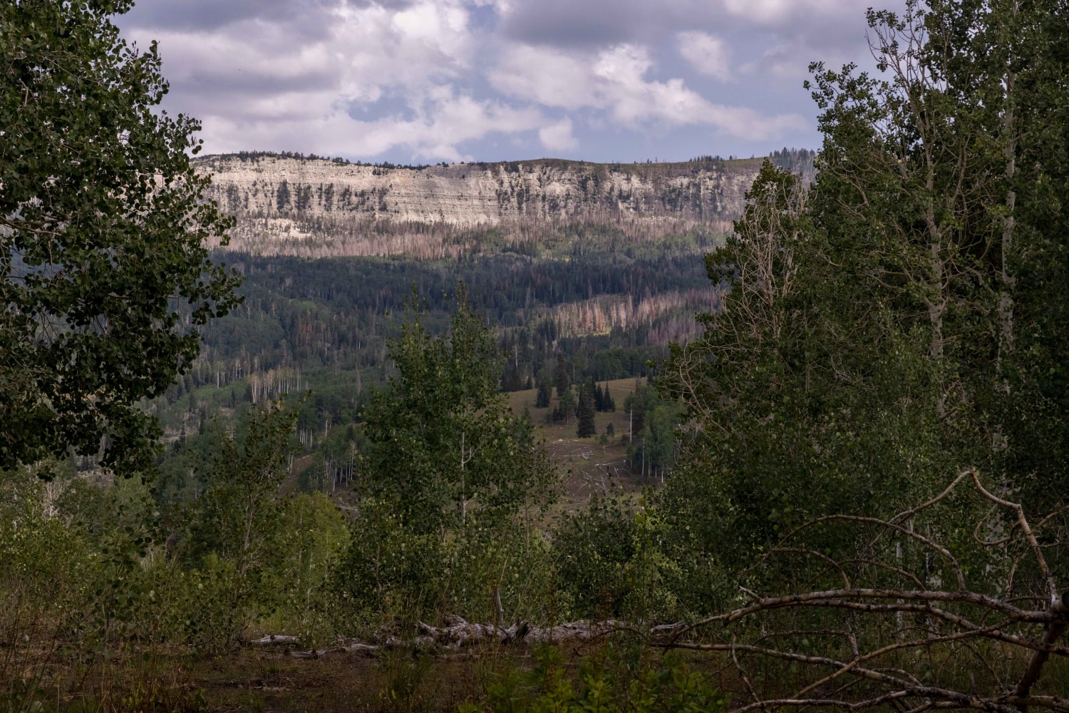
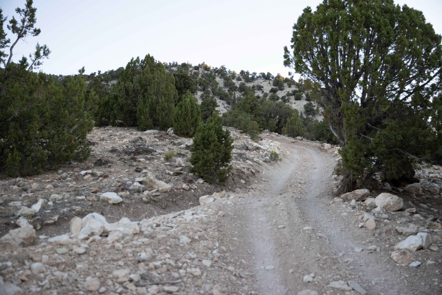
Trail Overview
Slow Elk Road is an 11.6-mile point-to-point trail rated 2 of 10 in Juab County. This improved county road travels along the eastern edge of the Keg Mountains which rise more than 2,000 feet above the track. This hard-packed dirt and gravel road is limited maintenance with ill regular grading. Wide enough for two vehicles, it is primarily used by ranchers leasing grazing land from the BLM. Recreational activities include off-road vehicles on the trails and hiking into the Keg Mountains. There are multiple connector trails heading east which connect to Riverbottom Road as well as multiple trails heading west into various canyons of the Keg Mountains. This remote area has abundant wildlife which a careful eye may find, however, don't expect to see many fellow travelers in this area. The trail starts at Weiss Road in the south and connects to Keg Mountain Road in the north. Not a difficult road to travel, it should be accessible by any 2 or 4WD vehicle with adequate clearance. 4WD may be required during or after periods of adverse weather. The nearest services are located in Eagle Mountain to the east and Delta to the south.
Photos of Slow Elk Road-JC8122901

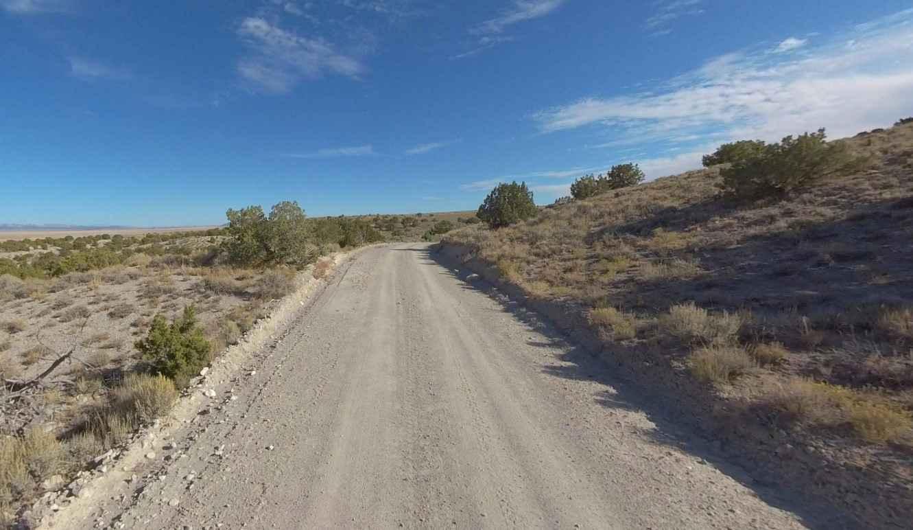
Difficulty
This is a county dirt road with infrequent or light maintenance after rain or snow. High-clearance, light-duty 4WD may be required.
Status Reports
Popular Trails
Beaver Creek Ridge Trail
Toll Road to Steve's Pass

Virgin River Gorge Overlook 1
The onX Offroad Difference
onX Offroad combines trail photos, descriptions, difficulty ratings, width restrictions, seasonality, and more in a user-friendly interface. Available on all devices, with offline access and full compatibility with CarPlay and Android Auto. Discover what you’re missing today!