Smith Mesa
Total Miles
19.0
Technical Rating
Best Time
Summer, Fall, Spring
Trail Type
Full-Width Road
Accessible By
Trail Overview
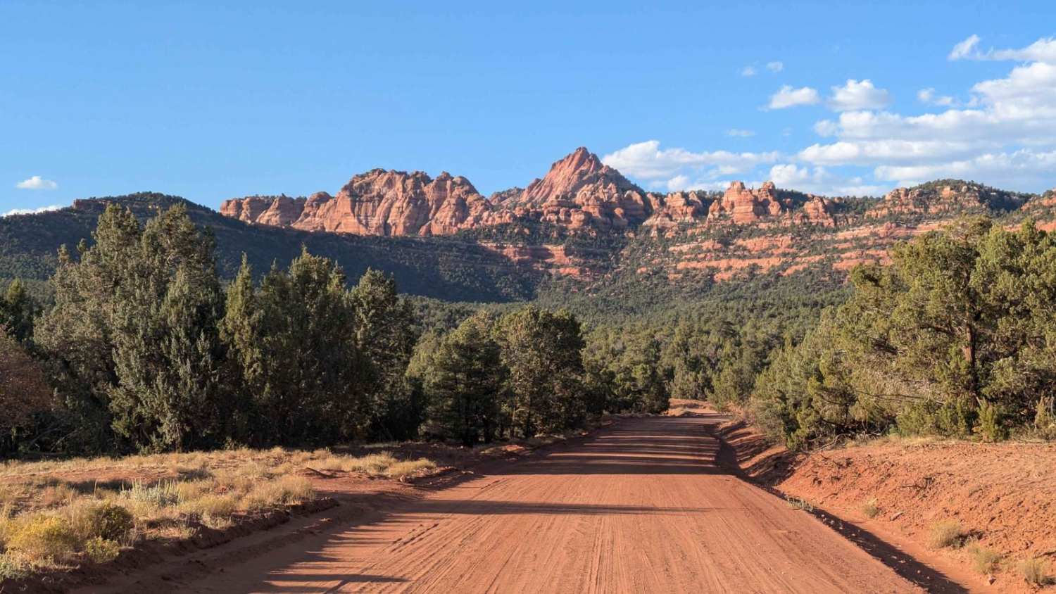
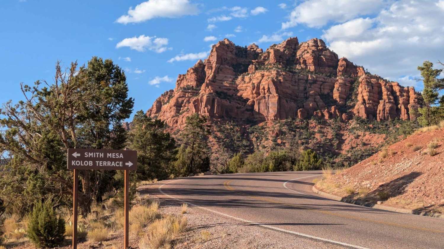
This trail travels for almost 20 miles on the Smith Mesa Plateau. The east side entrance, at 4800 feet, is just inside the West Kolob Canyon Entrance to Zion National Park. The trail winds on red dirt for 6 miles through pinyon and juniper trees. It offers stunning, up-close views of rock formations. At mile 6, it reaches the plateau and turns into open meadows that appear to have been farmlands. The next 10 miles open up and skirt around the farmland. This is where you get majestic views of Zion National Park to the East, Red Butte Wilderness to the North, and Blackridge Wilderness to the West. All of this land is private except for BLM land just off the plateau but not accessible from the road. The last 3 miles, on the West side, drop 500 feet ending on the paved Mesa Road.
Photos of Smith Mesa
Difficulty
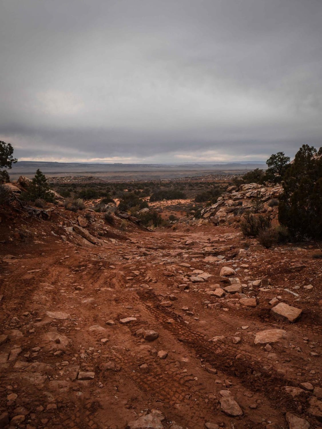
The trail was well-graded. It was rated 2 only due to the warning signs and possible challenges in wet or snow. The West side access road is paved but very steep on runs along a cliff. Once it gets to dirt, the first three miles ascend over 500 feet. There are warning signs that the road can be impassable. Apparently, it can get very slippery and hard to travel when wet. The road was newly graded and smooth when I ran it. Some reports have been made that washboards and washouts have happened after heavy rains and travel. There were also signs on the West side warning against trailers. I did observe a semi-truck come up the West side and back down hours later after making a delivery.
History
In the past, homesteaders on the mesa grew crops like wheat, corn, beans, melons, and squash without irrigation. They used a system of planting one crop, harvesting it the next year, and letting it lie fallow the year after.
Status Reports
Smith Mesa can be accessed by the following ride types:
- High-Clearance 4x4
- SUV
Smith Mesa Map
Popular Trails
Richfield-Pioneer Road
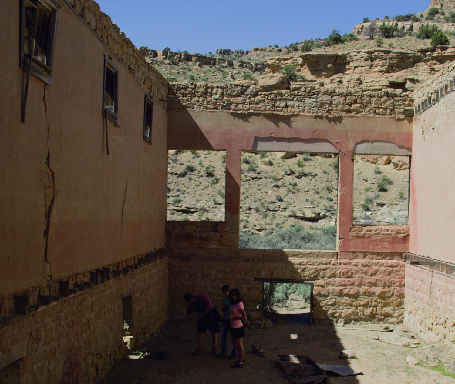
Book Cliffs, Sego Canyon
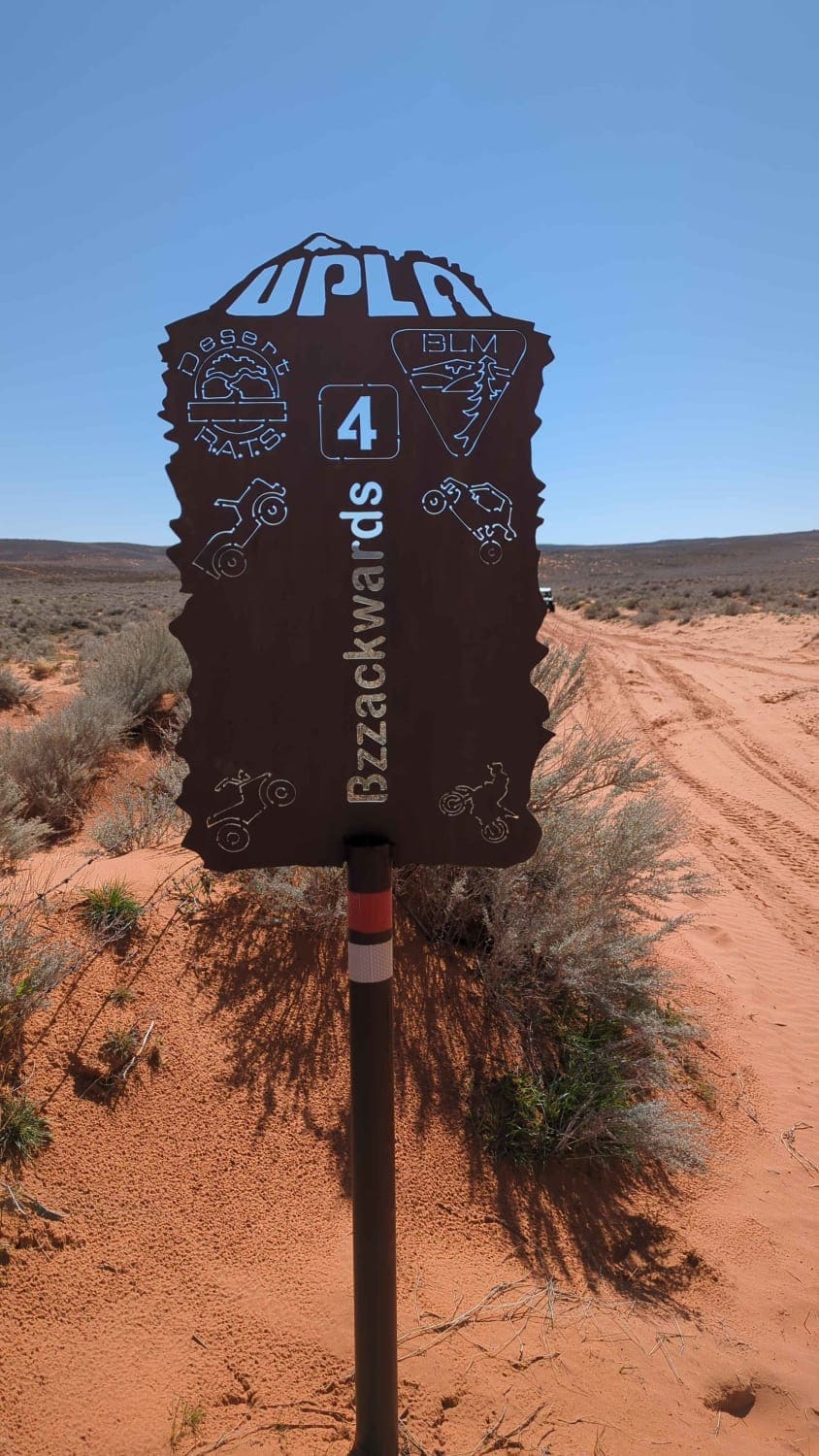
Bzzackward
The onX Offroad Difference
onX Offroad combines trail photos, descriptions, difficulty ratings, width restrictions, seasonality, and more in a user-friendly interface. Available on all devices, with offline access and full compatibility with CarPlay and Android Auto. Discover what you’re missing today!
