The Chute - Matt's Big Mistake
Total Miles
4.0
Technical Rating
Best Time
Spring, Fall, Summer, Winter
Trail Type
Full-Width Road
Accessible By
Trail Overview
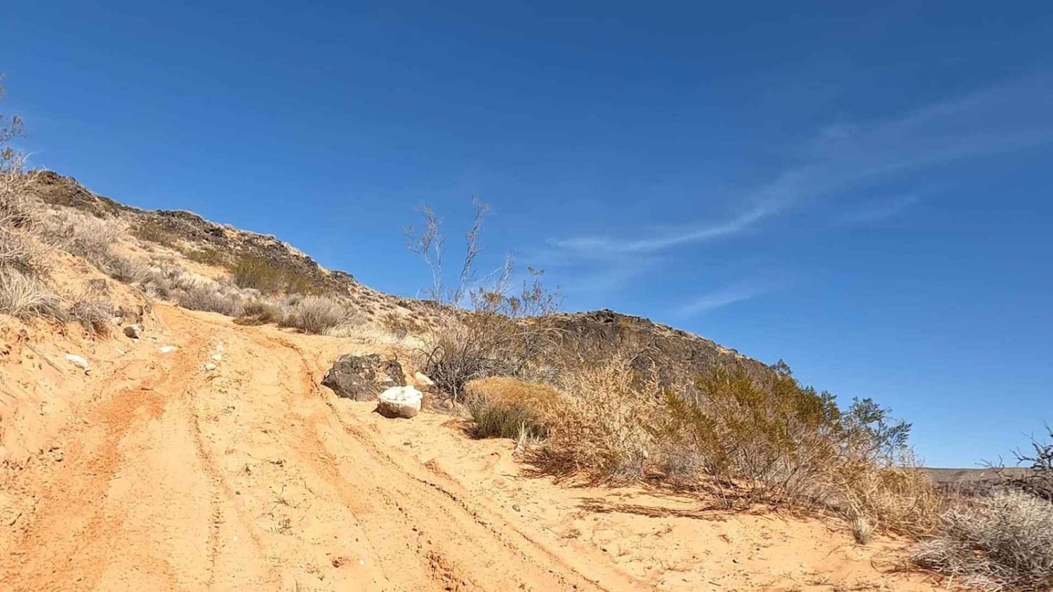
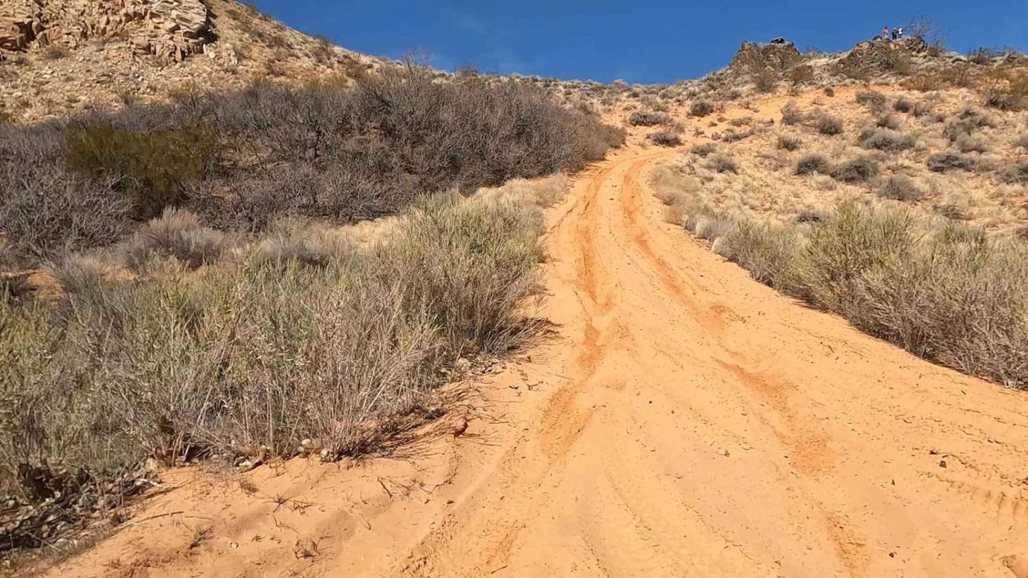
This area was made famous when a local offroad recovery company took all their recovery vehicles to the end of this trail and then spent two days getting them back out. That is your fair warning. This trail is fun with some small areas of rocks that can be a challenge. Most of the more technical rock areas have bypasses, so the rating reflects using those bypasses. The sand chute at the end is steep, extremely difficult, and depending upon sand conditions, very difficult to nearly impassable. There is no bypass for the chute; if you go down you have to come back up to get out. The more vehicles that go down increases the difficulty for each subsequent vehicle that makes the climb. It is fine to go to the top of the hill and walk down a little bit to get the views. The track does go over short sections of named trails but most of the track is on unnamed trails--therefore the fun name. Those that have seen the YouTube videos will understand.
Photos of The Chute - Matt's Big Mistake
Difficulty
This rating is provided for the chute and specific rock areas as a warning. The chute is a deep, sandy, steep climb for an extended distance. Depending on sand conditions and traffic up and down the chute, the climb is difficult to extremely difficult. There are limited to no places to attach a winch line. Most of the rest of the trail is a 3 with rock areas that can be bypassed--those are a solid 5. It is easy to get onto three wheels in precarious situations where body damage is possible. Again, these areas can be bypassed but they do exist in the area. Experienced 50-inch ATV/UTV riders may bypass all of the more difficult rock areas.
Status Reports
The Chute - Matt's Big Mistake can be accessed by the following ride types:
- High-Clearance 4x4
- SUV
- SxS (60")
- ATV (50")
- Dirt Bike
The Chute - Matt's Big Mistake Map
Popular Trails
Poison Spring Canyon

Barney Cove ATV Trail-NPS33014
Ridge Connector (2216)
The onX Offroad Difference
onX Offroad combines trail photos, descriptions, difficulty ratings, width restrictions, seasonality, and more in a user-friendly interface. Available on all devices, with offline access and full compatibility with CarPlay and Android Auto. Discover what you’re missing today!
