The Ugly, The Bad, and The Good (FS 40630/Dry Hollow/Trail ID 70)
Total Miles
4.9
Technical Rating
Best Time
Spring, Summer, Fall
Trail Type
60" Trail
Accessible By
Trail Overview
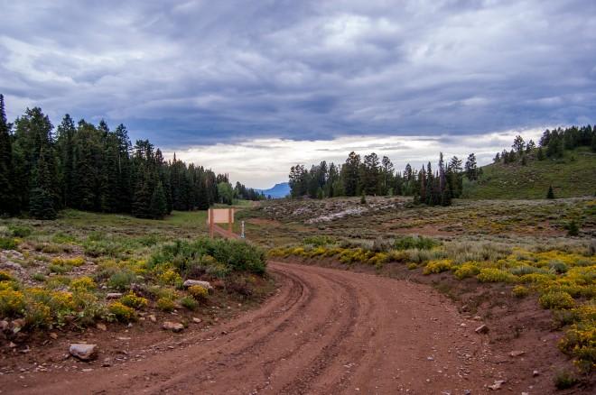
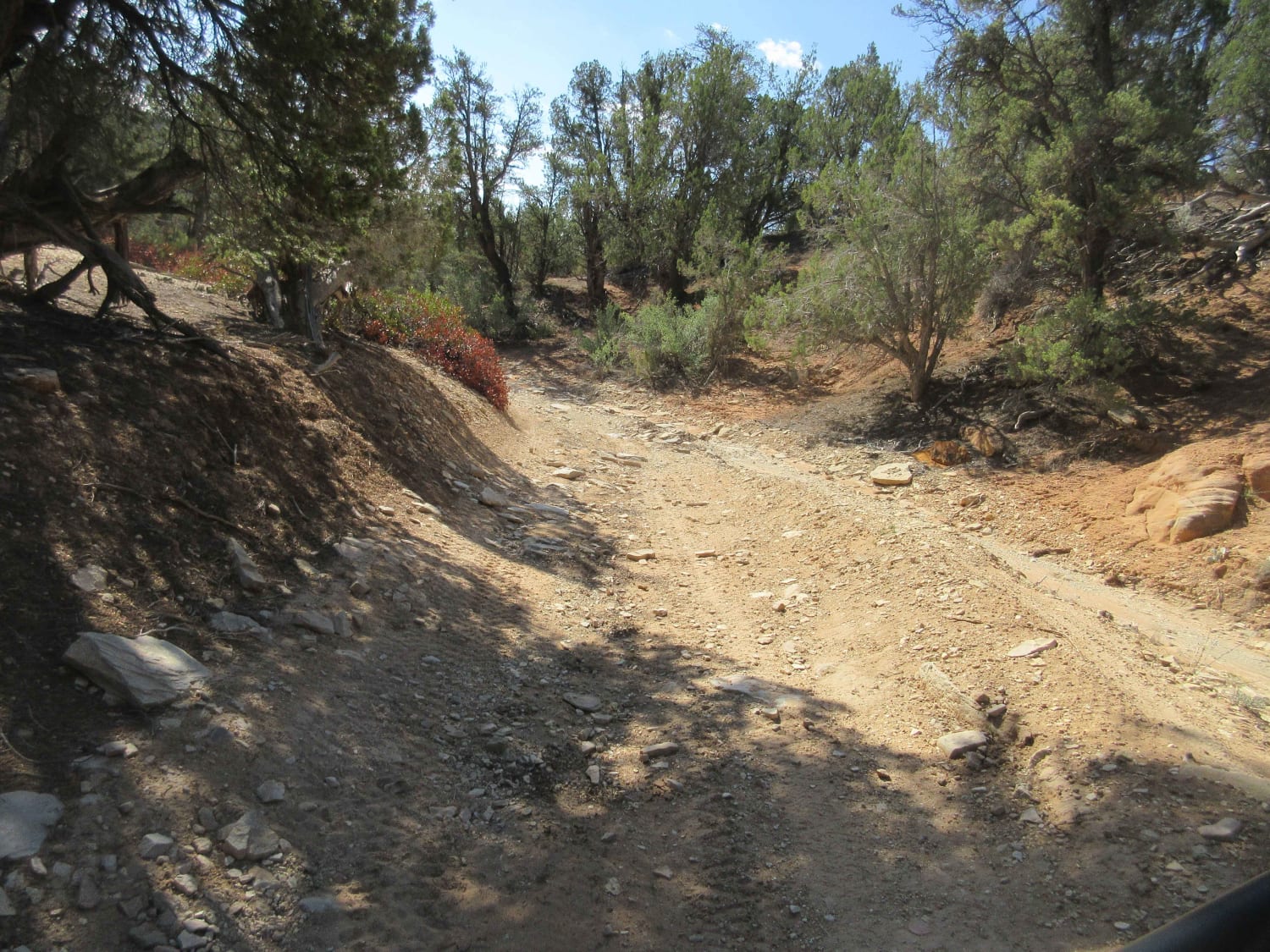
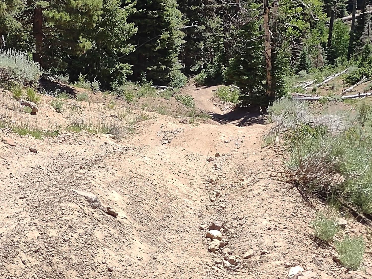
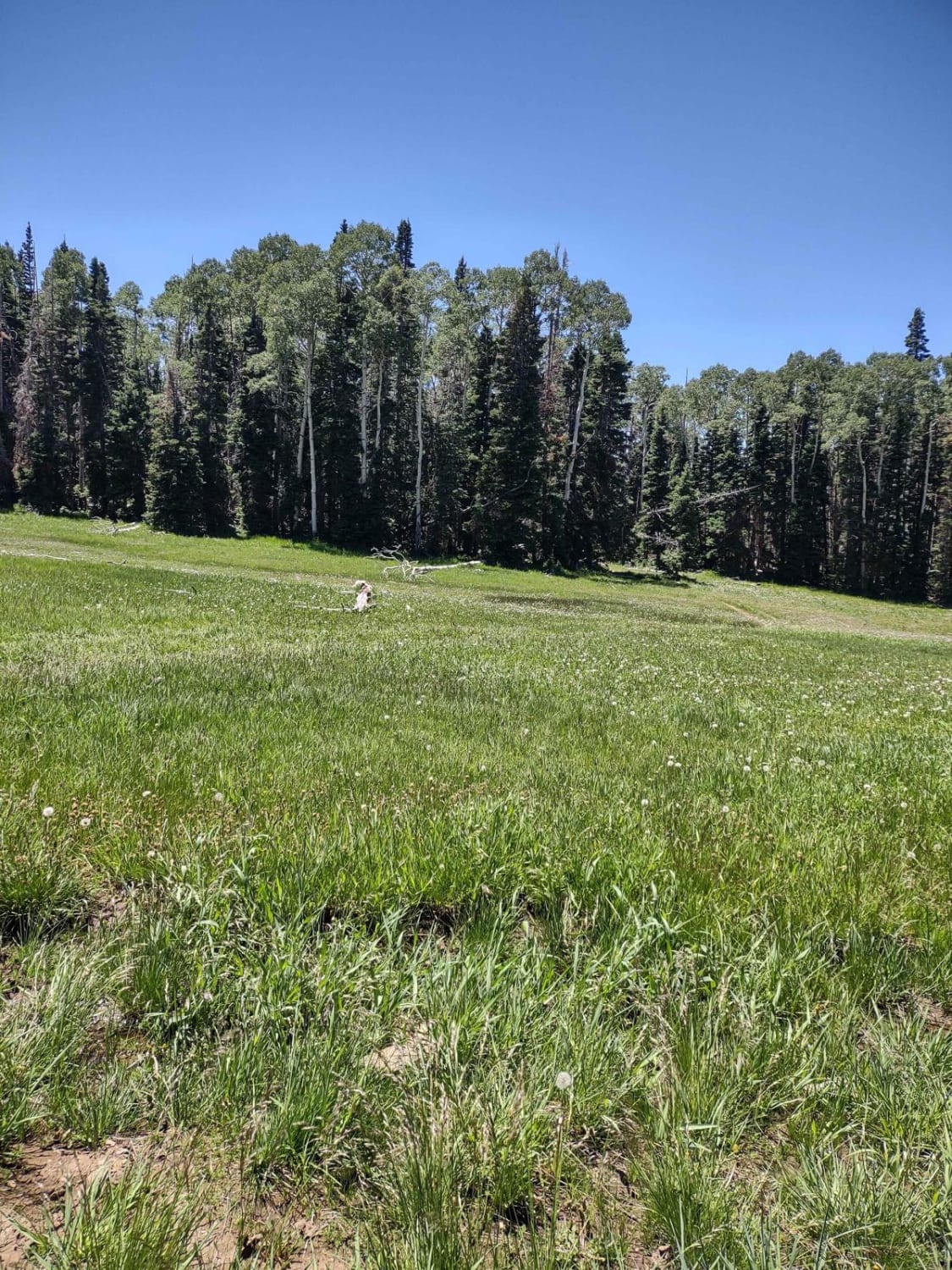
If you ride this trail from east to west, it's first ugly, then bad, then good. If you take the trail from west to east, it's good, bad, and then ugly. It's a narrow trail through the forest, wide enough for a 72-inch 4-seater SXS, but just barely. In places, tires on this rig touch downed timber or rocks on both sides. Towards the west end of the trail, there are some steep hills with loose and large rocks, and you drop 2,000 feet down towards UT-153 and Little Reservoir. There is one water crossing, and in mid-July 2023, it was shallow and easy. If the springtime mud hasn't dried yet, this trail may be impassable. You may need to cut trees that have fallen across the trail, blocking the path, but it's a great adventure. The pine forest has dead and downed timber, and the aspen groves you pass through are healthy and beautiful. There are a few places where you could turn around if you have to, but very few. If you meet an oncoming vehicle, most likely someone will have to back up. The trail is 5 miles long, but it is very slow, partly because of downed trees, but also because it's so narrow. Downed logs and timber litter the trail, as do rock obstacles. Some areas show visible signs of erosion from run-off. At the top, occasionally you break into a meadow or a clearing with spectacular views of surrounding mountains. At the west end, there is a water line buried in the trail, and the trail is maintained for access to the water tower and water line. Hence, the west end gets the designation, "The Good." Remember, to off-road legally in Utah, you need the online education course certificate as well as an OHV sticker.
Photos of The Ugly, The Bad, and The Good (FS 40630/Dry Hollow/Trail ID 70)
Difficulty
This is a narrow trail with downed timber, steep hills with loose, big rocks, and areas of erosion.
Status Reports
Popular Trails

Temple Fork and Old Ephraim's Grave

Jocks Canyon

Jacobs Chair West

Poverty Gulch Decent
The onX Offroad Difference
onX Offroad combines trail photos, descriptions, difficulty ratings, width restrictions, seasonality, and more in a user-friendly interface. Available on all devices, with offline access and full compatibility with CarPlay and Android Auto. Discover what you’re missing today!


