Watts Mountain Road- FS 40111
Total Miles
10.6
Technical Rating
Best Time
Summer, Fall
Trail Type
Full-Width Road
Accessible By
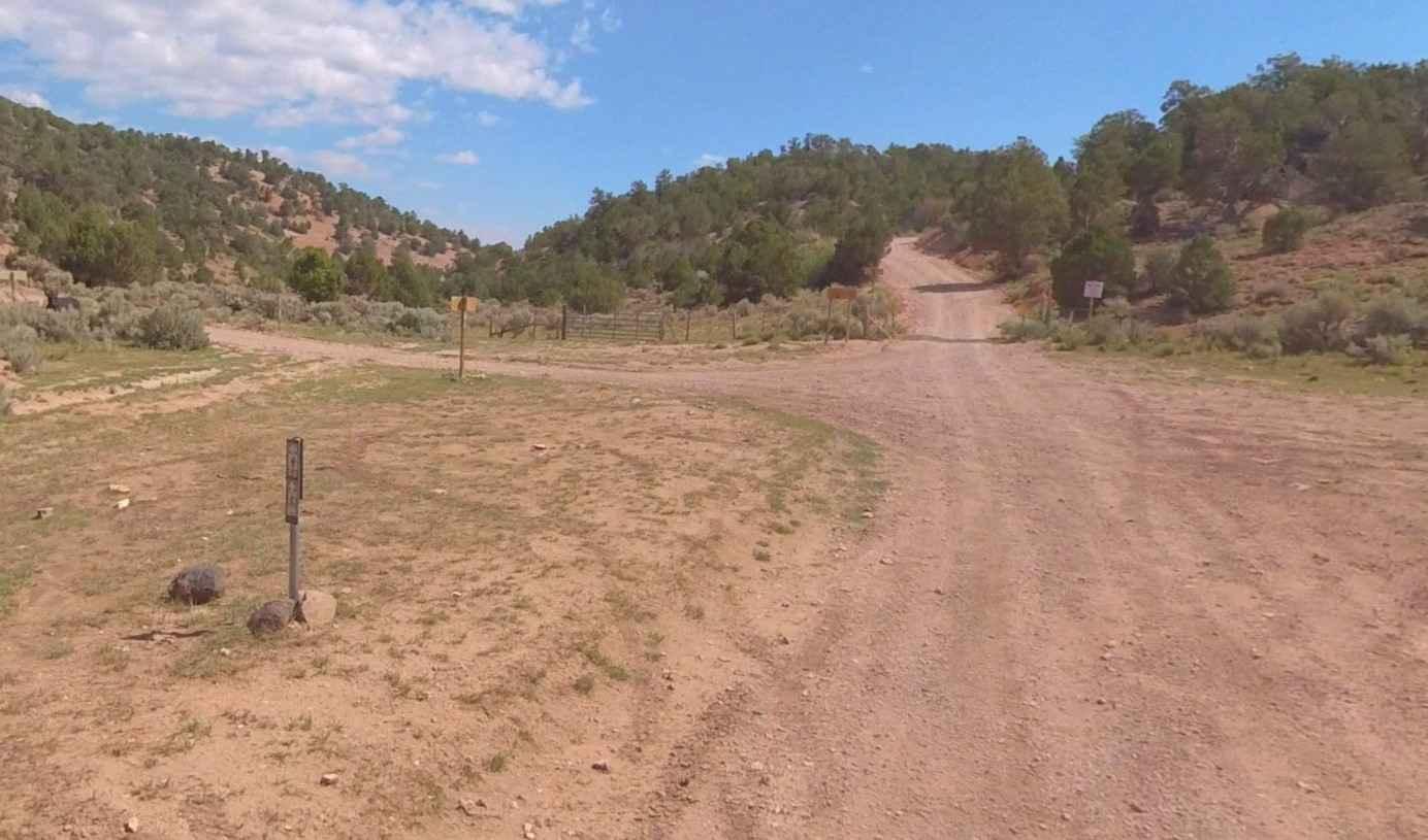
Trail Overview
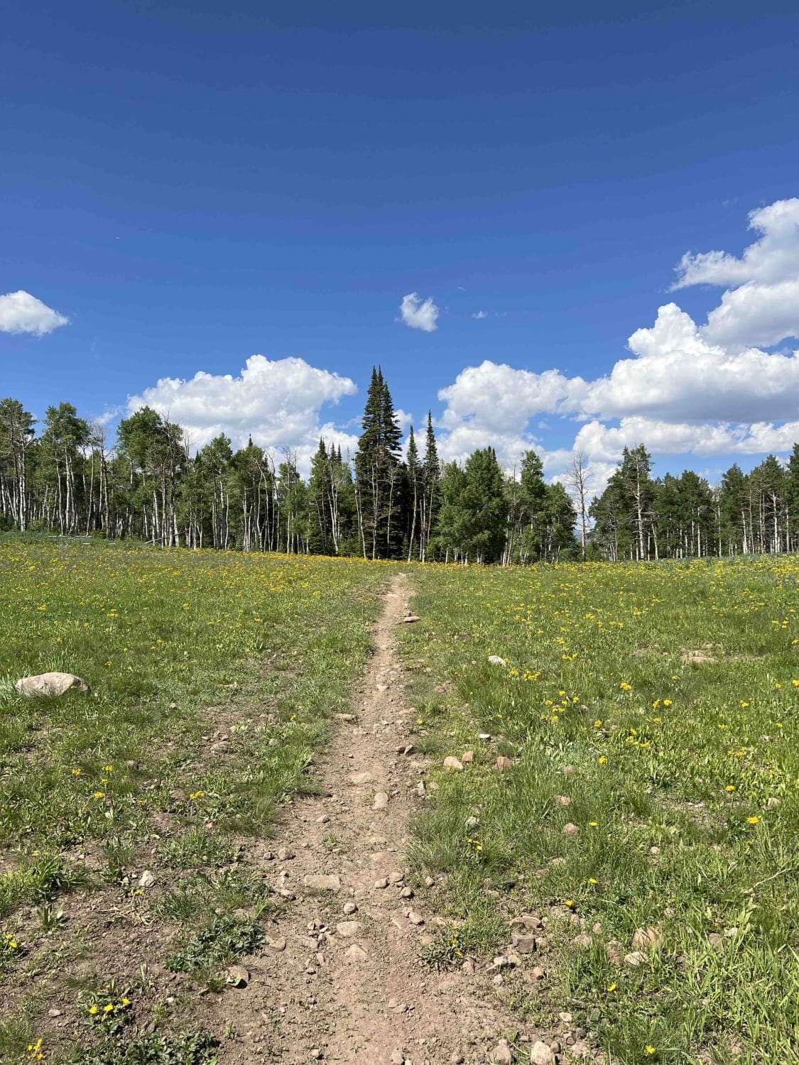
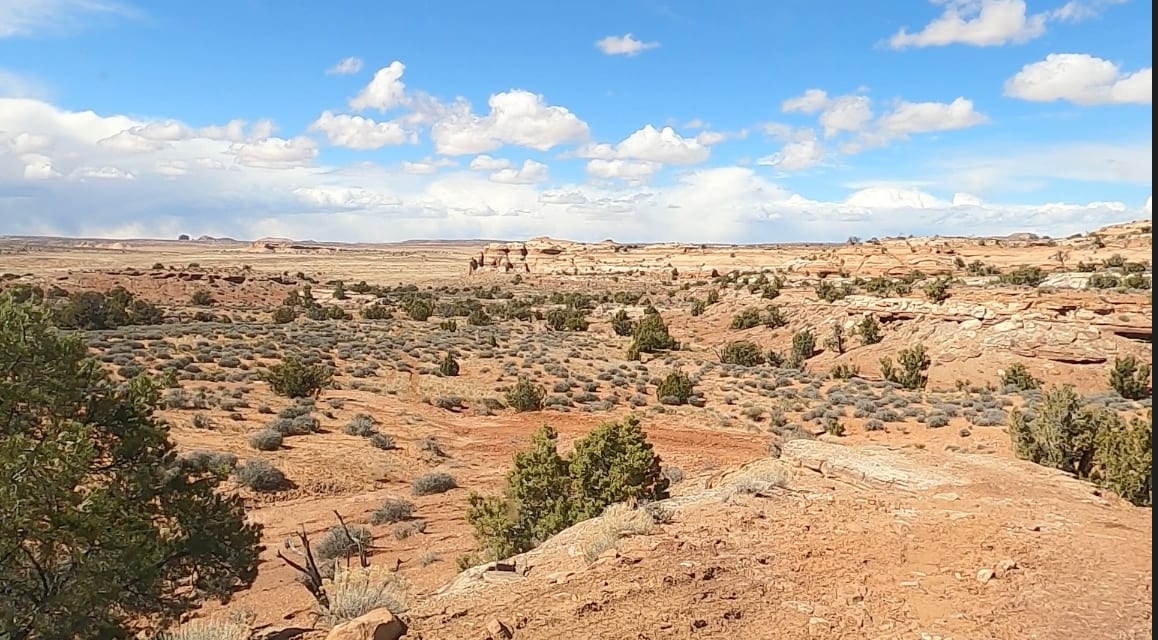
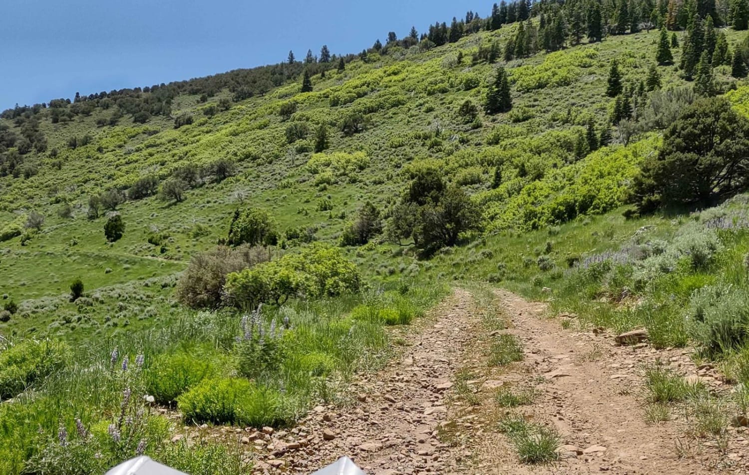
Watts Mountain Road is a 10.7-mile point-to-point trail rated 2 of 10 located in Sevier County. The trail starts on the western side of the community of Elsinore and is the gateway into the Fishlake National Forest, Fillmore Ranger District. Watts Mountain Road is the main north/south track that runs the length of the Pavant Mountain Range. The trail is also part of the extensive Paiute Trail Network and is listed as Paiute Side Trail #11 (PST11). This trail not only runs through the national forest but also crosses a considerable length of private property. It is important to only use authorized forest service roads as there are several ranch trails that are private. The majority of the private property is located south of the intersection with Albinus Canyon-Elsinore Mtn Rd. Overall, this trail is well maintained and considered suitable for passenger cars (although not maintained for such). Comprised of native material (hard-pack and gravel) it is a single-lane track but normally wide enough to allow for two-way travel. There are no width restrictions along the trail. The trail offers vista views of distant mountains and of course meadows and forests. The area has abundant wildlife which tends to be more active just after sunrise and before sunset. This trail is part of one of the local loops called Rockwood Loop Trail which can be accessed here or in Richfield at the ATV trailhead. This trail is categorized as a connector trail by the National Forest Service and is considered suitable for passenger cars. The Rockwood Loop Trail is a mountain loop trail that climbs 6000 feet above the valley floor at Richfield. The ascent to the tops of the Pavant Mountain Range then circles around Indian Peak and 9400-foot Joseph Peak. The route resembles a figure 8 crossing the same path for a short distance in the middle of the ride. The loop mileage is just a hair over 50 miles and will take the better part of 6 hours to navigate. Cell phone service is spotty but available in some spots. The nearest services are in Elsinore and Richfield.
Photos of Watts Mountain Road- FS 40111

Difficulty
County dirt road with infrequent or light maintenance after rain or snow, high clearance light duty 4WD may be required.
History
The Paiute Trail began in the small community of Circleville back in the summer of 1988 and was created by two lifelong schoolmates and good friends Clyde Lay a Forest Engineer for the Fishlake National Forest and Lindon Romine, a Piute County Commissioner. They rolled out some maps and plotted a large loop that crossed three mountain ranges and passed through four rural communities, including their beloved Circleville. Much of this initial 250-mile loop, which was later modified to the current 238-mile loop, already existed with only a few places needing actual construction. They took their proposal to the counties and towns that would be involved and got overwhelming support. The name "Paiute" was selected, utilizing the spelling of the local Indian culture rather than that of the county by the same name. Today, the entire Paiute System is a 1679 mile network that crosses multiple mountain ranges ranging in elevation from 5,200 to over 11,400 feet, spans several counties, and connects 16 small southern Utah communities.
Status Reports
Watts Mountain Road- FS 40111 can be accessed by the following ride types:
- High-Clearance 4x4
- SUV
- SxS (60")
- ATV (50")
- Dirt Bike
Watts Mountain Road- FS 40111 Map
Popular Trails
Meadow Valley
Doc Spring (FS# 40134)
The onX Offroad Difference
onX Offroad combines trail photos, descriptions, difficulty ratings, width restrictions, seasonality, and more in a user-friendly interface. Available on all devices, with offline access and full compatibility with CarPlay and Android Auto. Discover what you’re missing today!