West Angle Road to Sam's Cabin
Total Miles
6.7
Technical Rating
Best Time
Spring, Summer, Fall
Trail Type
60" Trail
Accessible By
Trail Overview
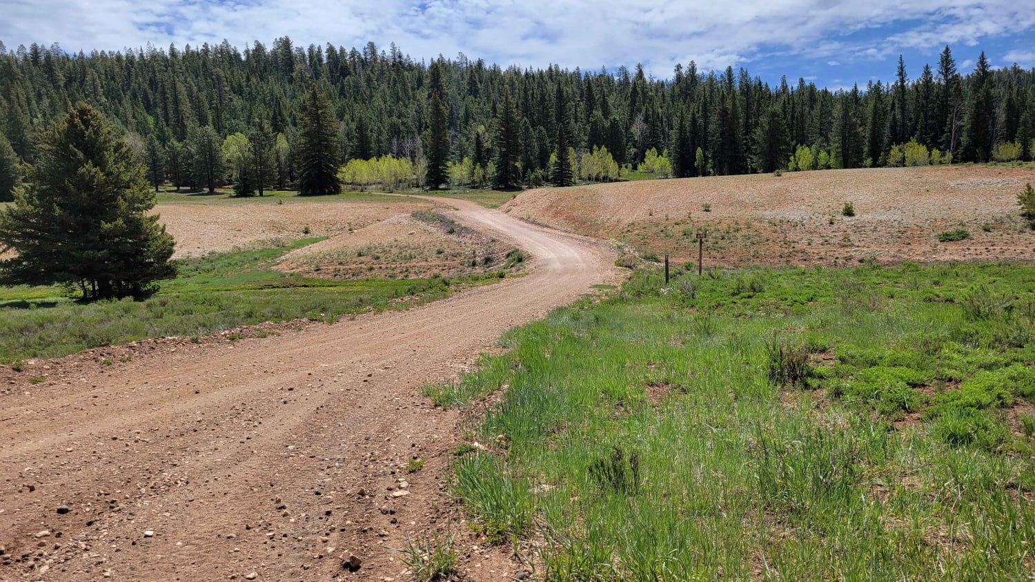
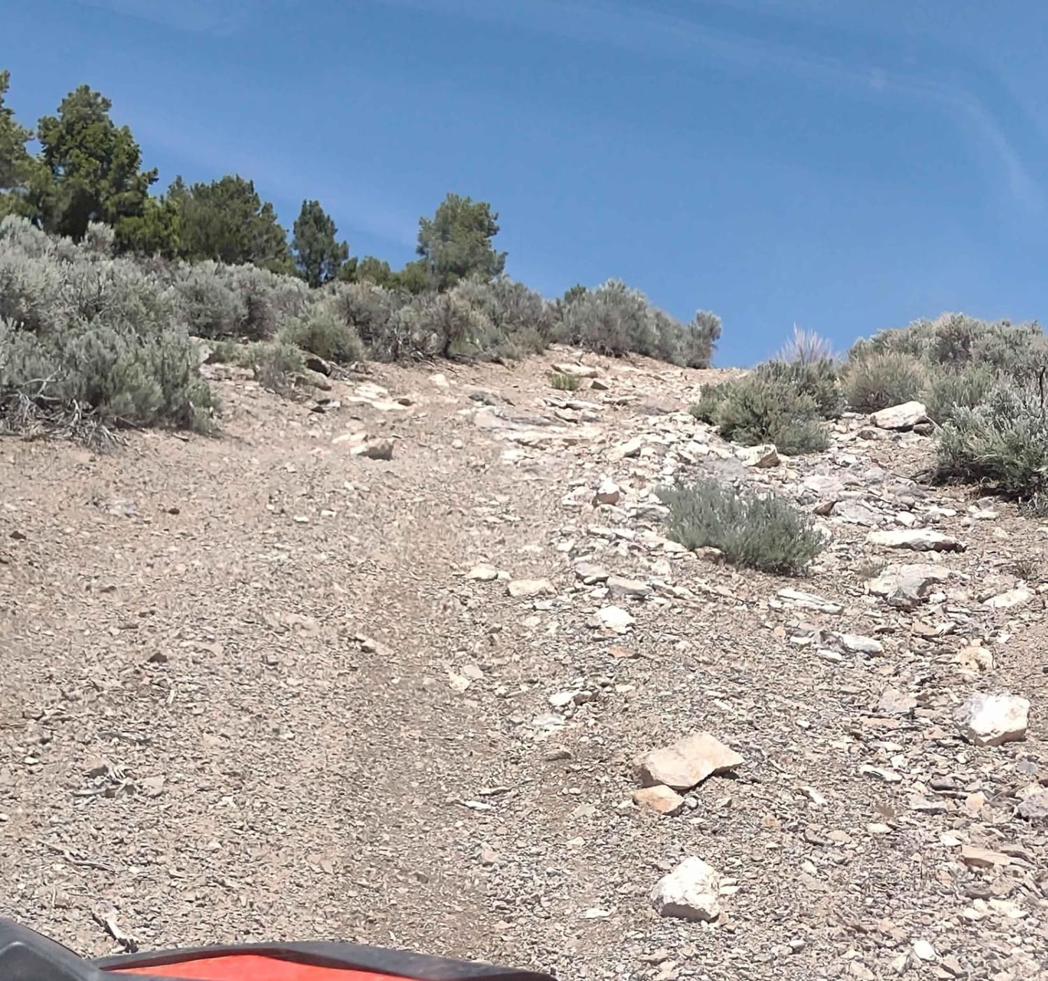
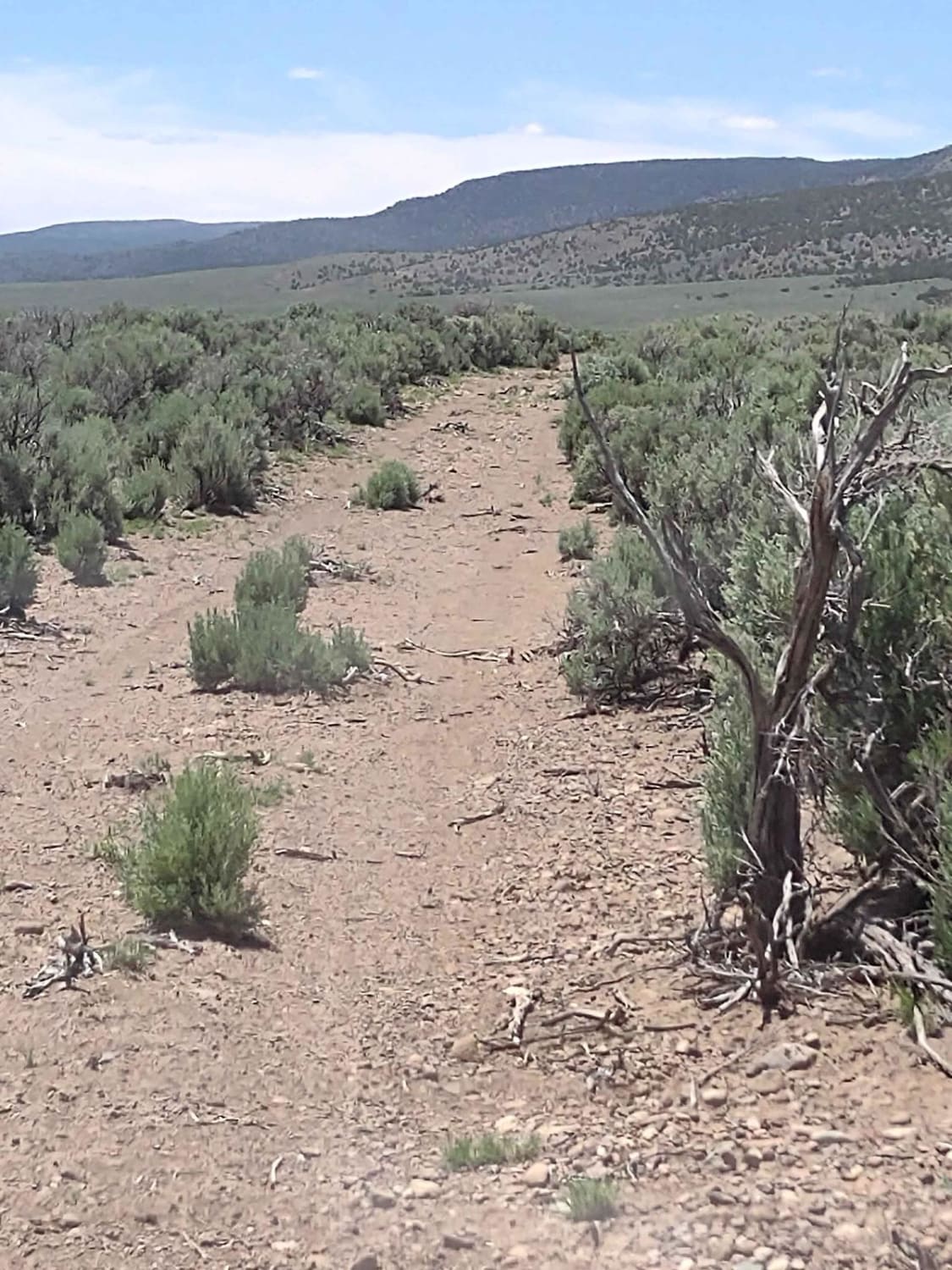
This access trail up into the Fishlake National Forest from Highway 62 begins with a VERY steep, rocky, loose hill climb. And it's a long climb. Parts of it feel like the hill is vertical. Once you reach the top, you are 2400 feet above where you started. Our SXSs both have low crawling gear and without it, we wouldn't have made it up this hill. Near the top of the trail, the trees and brush are close to the trail, so lots of opportunities for Utah pinstripes. On top, you connect with FS #4864 and #41208, and then #42046 takes you south towards what shows on the map as Sam's Cabin. We couldn't find a cabin or any evidence one ever existed there. Near the purported cabin site, there is a pond fed by runoff, and cattle graze here in the springtime. Gates were all open or else there were cattleguards. In February of 2023, Utah began enforcement of a new law, which requires an online education course for all off-roaders. The free course is available online. Google "Utah OHV Education Course," and the free test will appear. It's an easy test that will only take 15-30 minutes, and it's required for all off-roaders, Jeeps, SXSs, dirt bikes, and ATVs. Kids under the age of 18 will have to take the Youth Education Test at the same site. After completing the test, print out the certificate to carry with you which shows you completed the course. We have taken it, and it's really no big deal--good reminders about trail etiquette and trail preservation.
Photos of West Angle Road to Sam's Cabin
Difficulty
The steep, long, rocky hill is the difficult part of this trail. There is nothing off-camber, no water crossings, but lots of loose rocks and steep grades.
History
Sam's Cabin shows up on the map, but we have been unable, to date, to find any information about it. Nor could we locate the cabin at the site indicated on the map.
Status Reports
West Angle Road to Sam's Cabin can be accessed by the following ride types:
- SxS (60")
West Angle Road to Sam's Cabin Map
Popular Trails

Billingsly Trail

Forest Service 114

Alternate GWT - FR129

Golden Spike Auto Tour, Transcontinental Railroad Byway
The onX Offroad Difference
onX Offroad combines trail photos, descriptions, difficulty ratings, width restrictions, seasonality, and more in a user-friendly interface. Available on all devices, with offline access and full compatibility with CarPlay and Android Auto. Discover what you’re missing today!

