Whisker Draw South
Total Miles
2.5
Elevation
1,777.54 ft
Duration
0.5 Hours
Technical Rating
Best Time
Spring, Fall
Trail Overview
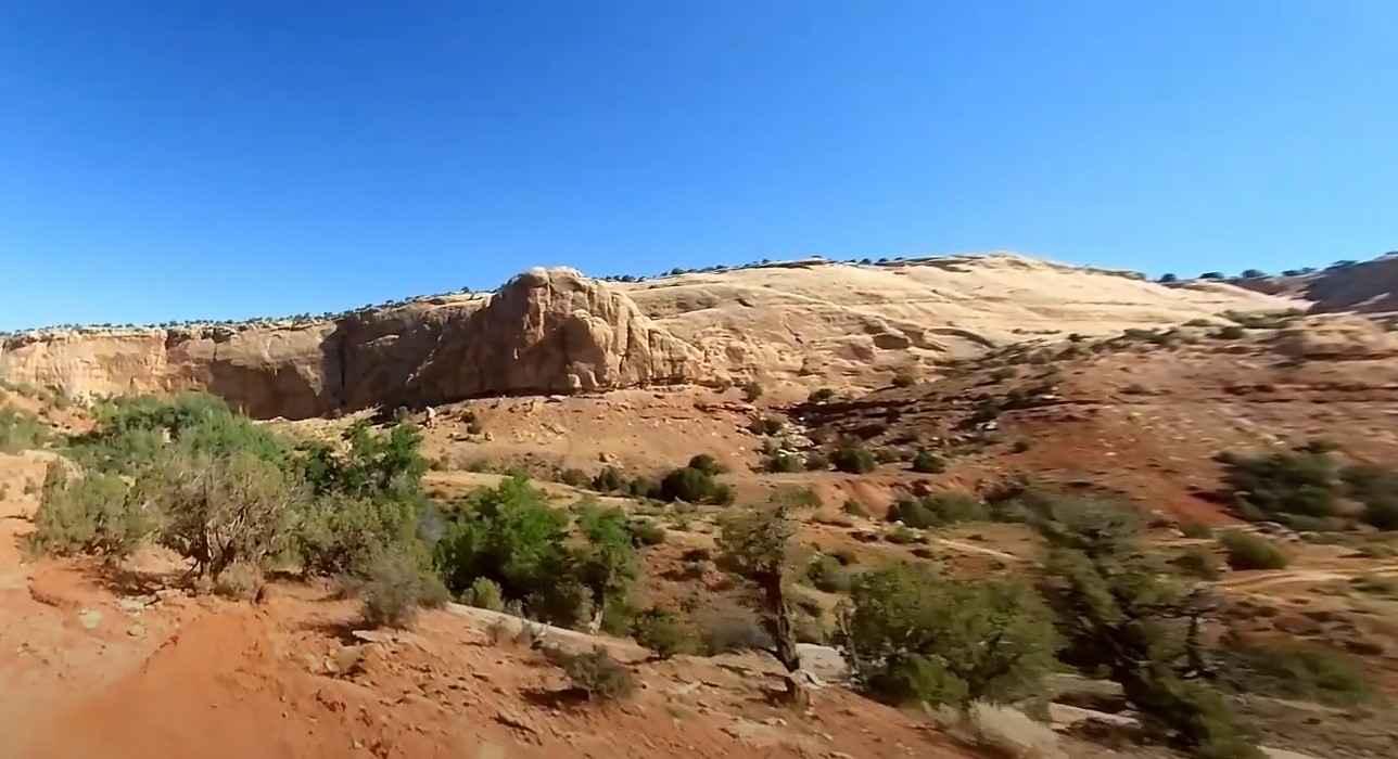
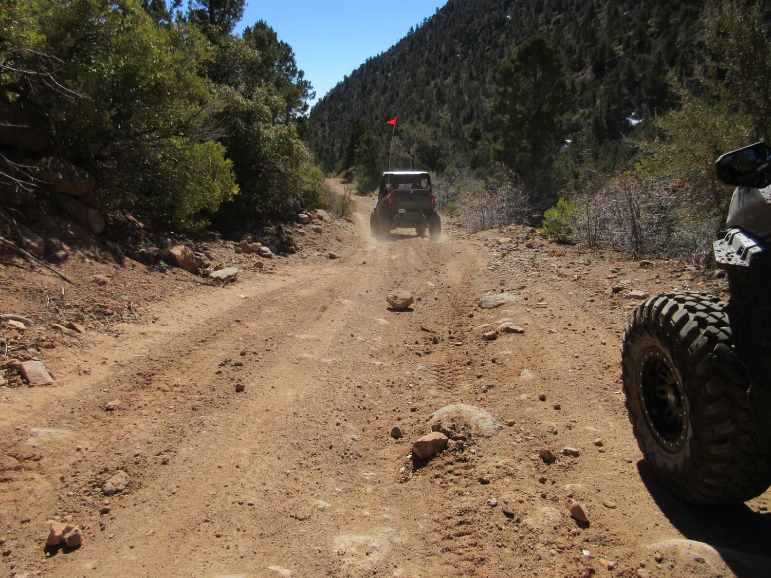
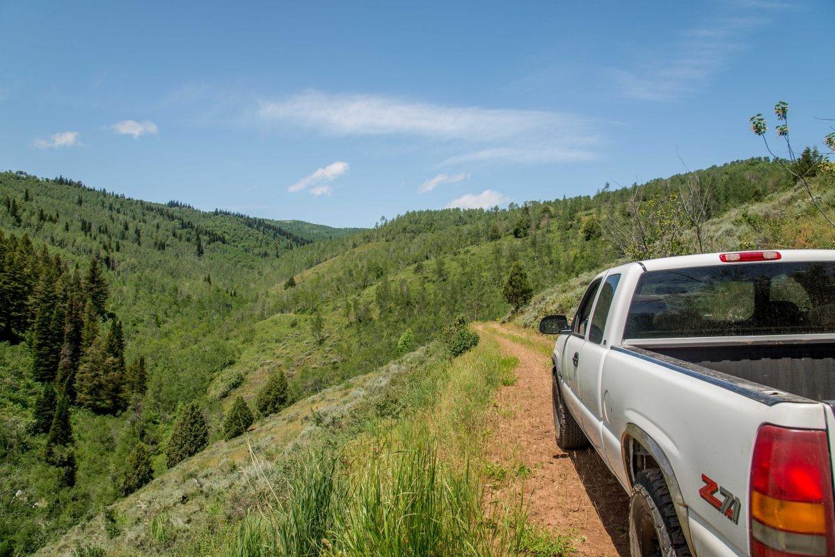
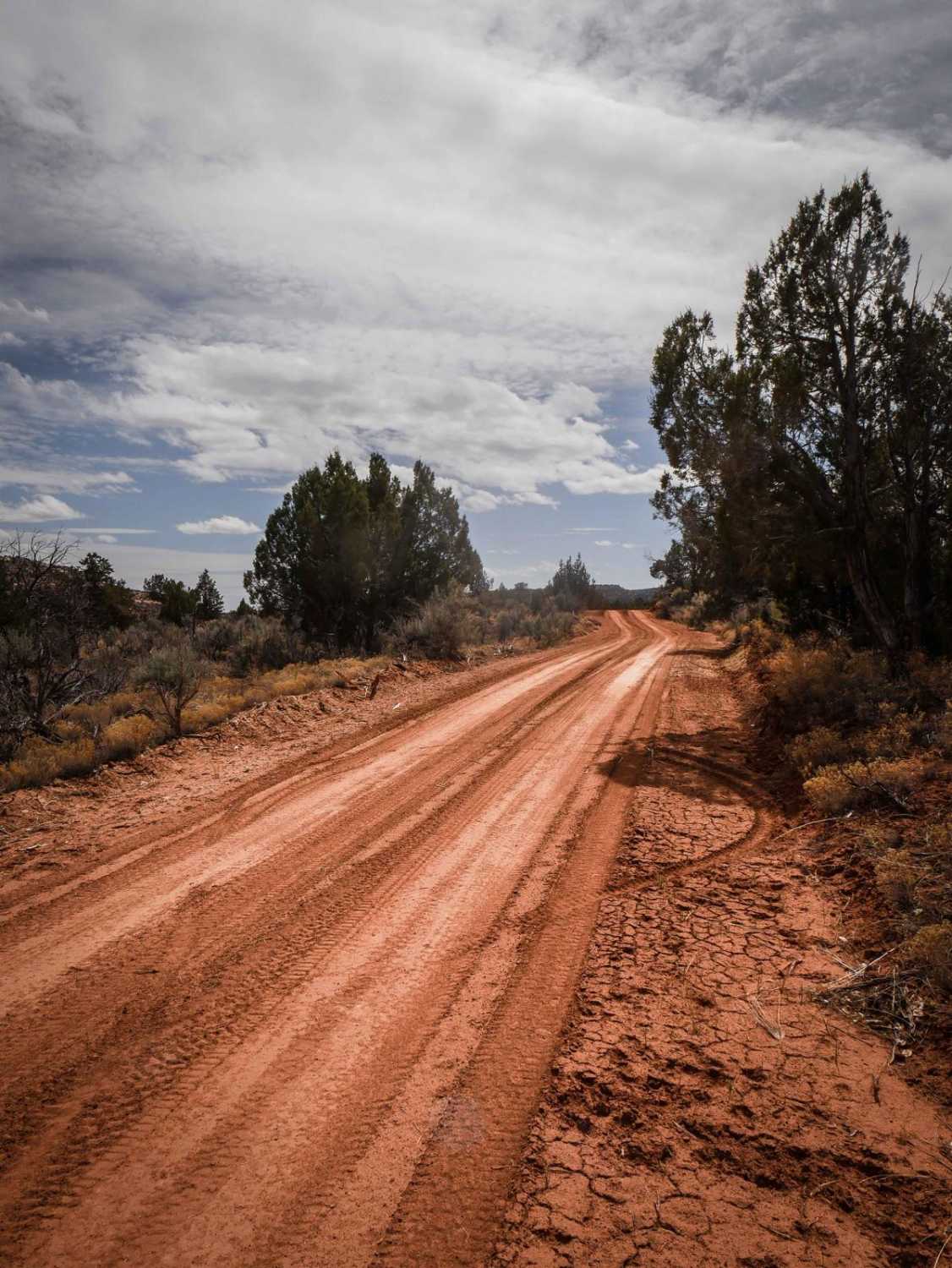
Whisker Draw South Road is a full-width graded dirt road. It's smooth dirt, wide, and goes through a high desert terrain of pinyon pine on green desert mesas. It has lots of unmarked intersections and also goes through a small section of Ute Indian Land. There is a sign saying not to shoot or leave the road through the Ute land. The wide graded road keeps going south for 2.6 miles until an intersection near the North Fork of Whiskers Draw. At this point, the track continues as an unmaintained 4x4 high-clearance road.
Photos of Whisker Draw South
Difficulty
This is an easy graded road with no difficulties.
Status Reports
Popular Trails

Baulie's Road - San Juan County B236

Josie Morris Loop

Cottonwood East

Twin Creeks Road to Bubble Spring
The onX Offroad Difference
onX Offroad combines trail photos, descriptions, difficulty ratings, width restrictions, seasonality, and more in a user-friendly interface. Available on all devices, with offline access and full compatibility with CarPlay and Android Auto. Discover what you’re missing today!

