Wild Horse
Total Miles
2.6
Elevation
1,792.96 ft
Duration
0.5 Hours
Technical Rating
Best Time
Spring, Fall
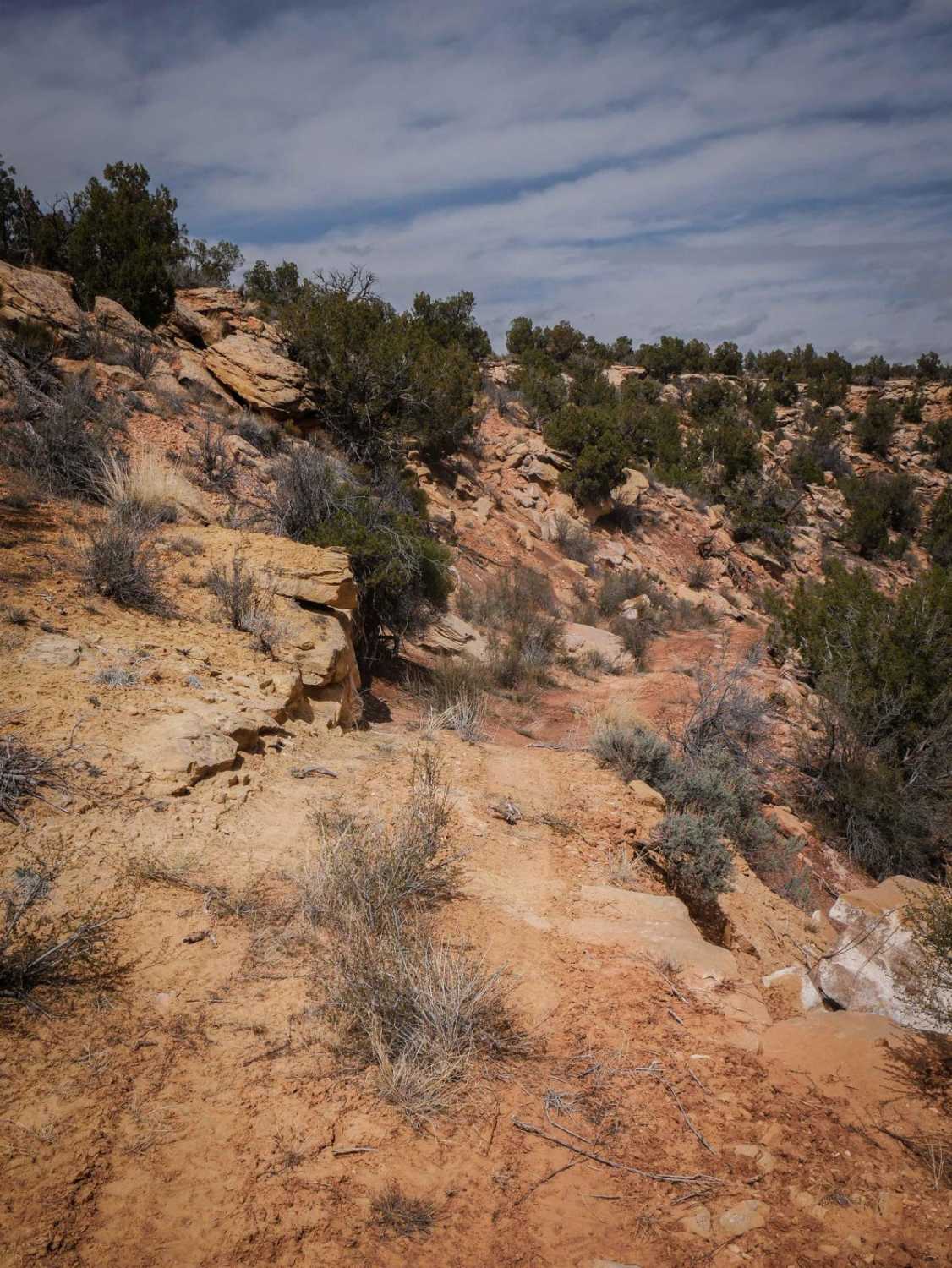
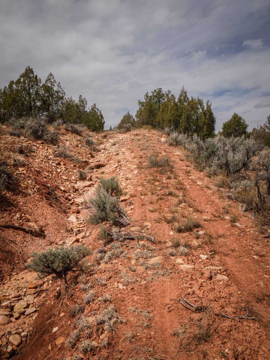
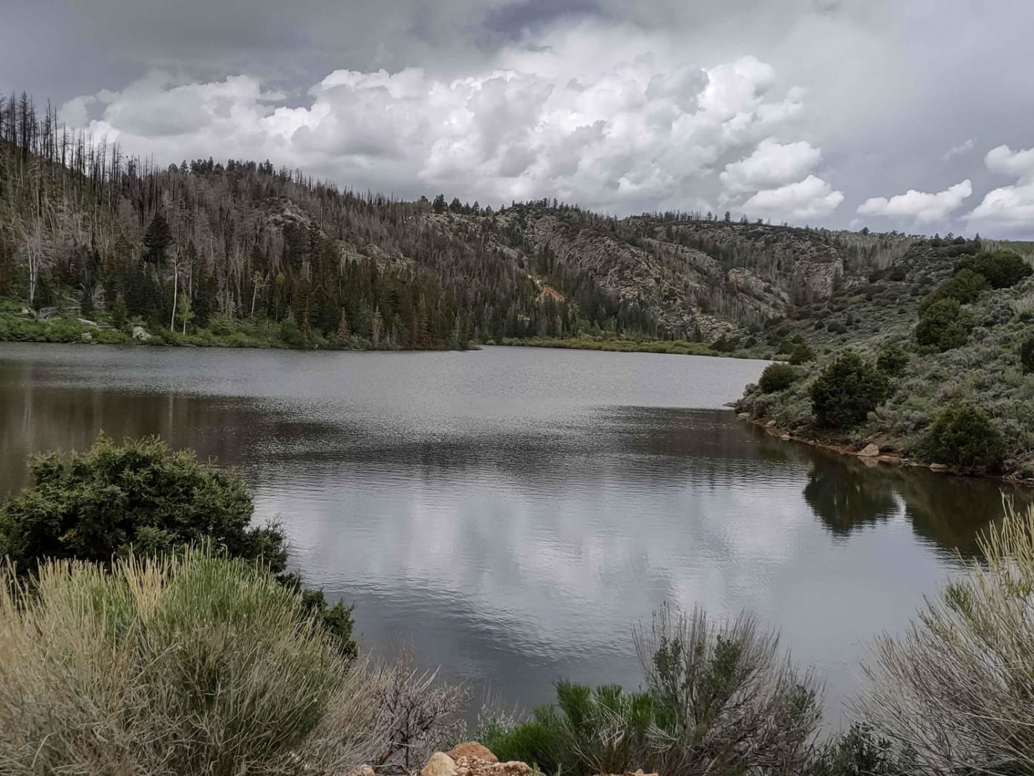
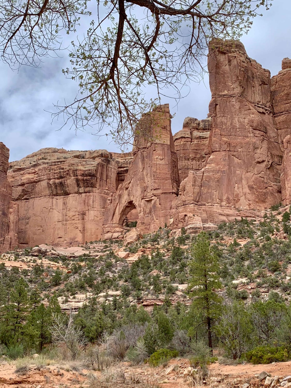
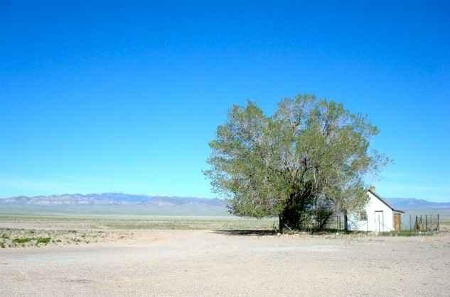
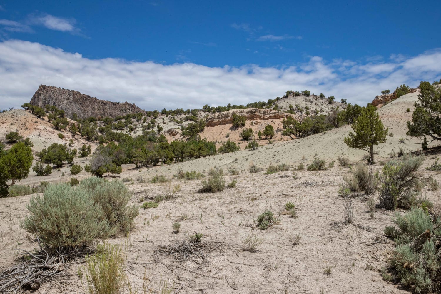
Trail Overview
This 2.7-mile trail starts on South Elks Road and goes west, connecting to Whiskers Draw to make a loop back to the main road. It's a narrow track through pinyon pine trees on soft dirt, with loose rocks, ruts, ravine crossings, and some sharper corners. Tree branches stick out over the trail and big washouts run down the side of the road. There are small rock layers across the trail and big wash crossings that you'll need high clearance for. There is a shelfy spot next to a drop-off on the route that seems quite narrow for a Jeep, and it's probably mostly ridden by UTVs/ATVs. It crosses Cottonwood Creek about halfway through. It's a shallow crossing through a sandy creek, making it very easy. Look out for wild horses in the area.
Photos of Wild Horse
Difficulty
This trail has lots of ruts and ravines, loose rock and slab rock, and narrow sections. It's probably more suited for UTVs/ATVs in the narrow spots.
Popular Trails
Lower Box Creek Reservoir (FS# 40159)
Pine Valley Road
Scorups Meadow Road
The onX Offroad Difference
onX Offroad combines trail photos, descriptions, difficulty ratings, width restrictions, seasonality, and more in a user-friendly interface. Available on all devices, with offline access and full compatibility with CarPlay and Android Auto. Discover what you’re missing today!