Woodbury Mountain Lower Trail
Total Miles
2.6
Technical Rating
Best Time
Fall, Summer
Trail Type
High-Clearance 4x4 Trail
Accessible By
Trail Overview
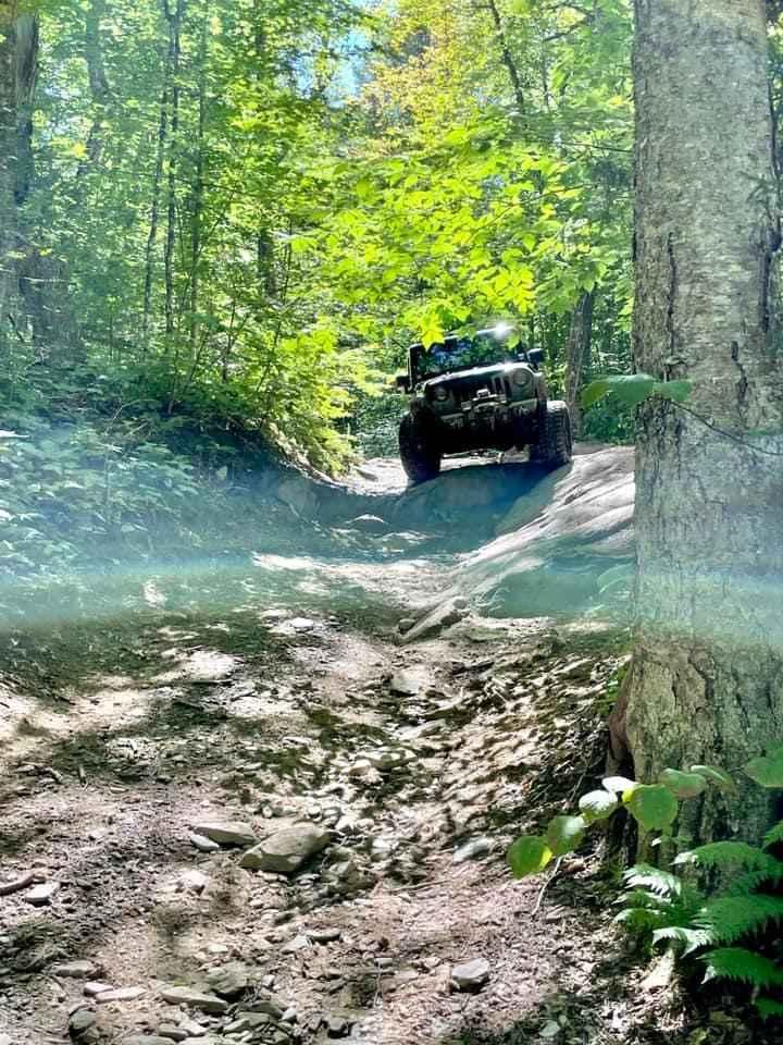
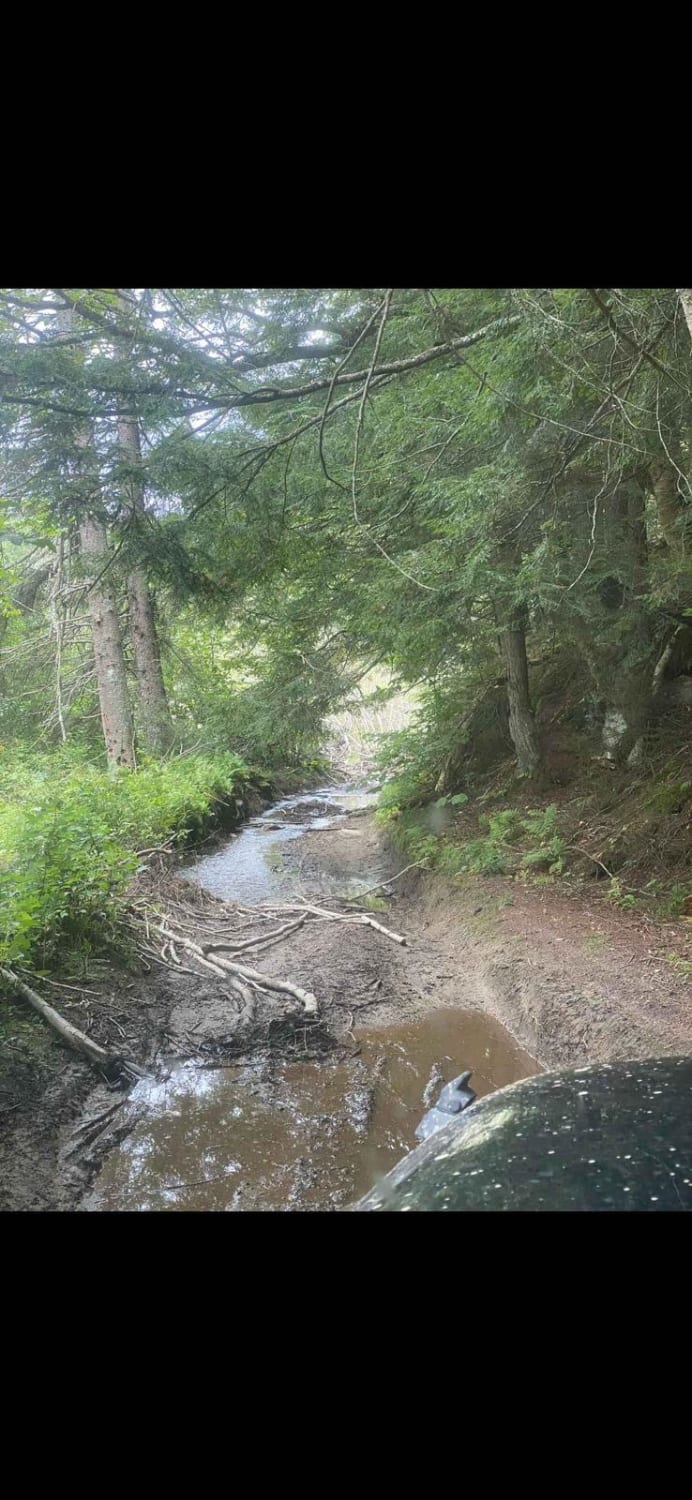
Lower trail area beginning from the parking area at the end of Tallman Road, continuing towards Eagle Ledge Road, and meeting up with Woodbury Mountain Road main trail. It's a scenic trail with multiple route options and areas to explore, posted route leads up to the main Woodbury Mountain Trail. The route has multiple rock ledges up to 3ft, with many alternate routes around the most difficult lines. There are multiple deep water crossing along the route, some depending on recent weather and the current status of beaver dams may be deeper than 4ft. I highly recommend going with multiple vehicles with recovery gear, and being ready to cross at least 24" deep water. Trail gains elevation after the water crossings, leading up to the higher ground and trails on Woodbury Mountain Road. This section makes a great start/end point to do the section of Woodbury Mountain Road that has most of the fun obstacles. I recommend this route leading to WMR, heading south on that trail until it reaches West County Road, and returning to the start point.
Photos of Woodbury Mountain Lower Trail
Difficulty
Be prepared for deep water crossings at a minimum of 24'. After the crossings along the trail there are a few ledges with the harder lines having a 2-2.5ft ledge to climb, but offers many lines to suite your ability and rig.
Status Reports
Woodbury Mountain Lower Trail can be accessed by the following ride types:
- High-Clearance 4x4
- SxS (60")
Woodbury Mountain Lower Trail Map
Popular Trails
Lowell MTN / Baily-Hazen Military Road

Beartown Road

Wheeler Mountain Road
The onX Offroad Difference
onX Offroad combines trail photos, descriptions, difficulty ratings, width restrictions, seasonality, and more in a user-friendly interface. Available on all devices, with offline access and full compatibility with CarPlay and Android Auto. Discover what you’re missing today!
