Emerald Pond
Total Miles
5.6
Technical Rating
Best Time
Spring, Summer, Fall, Winter
Trail Type
Full-Width Road
Accessible By
Trail Overview
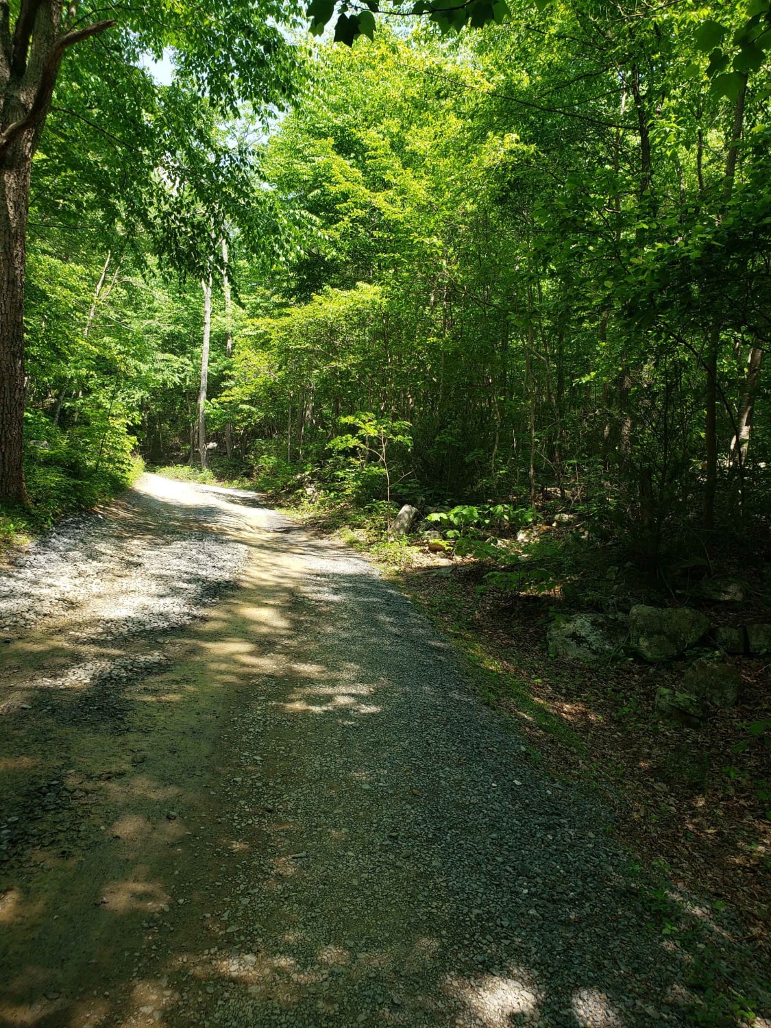
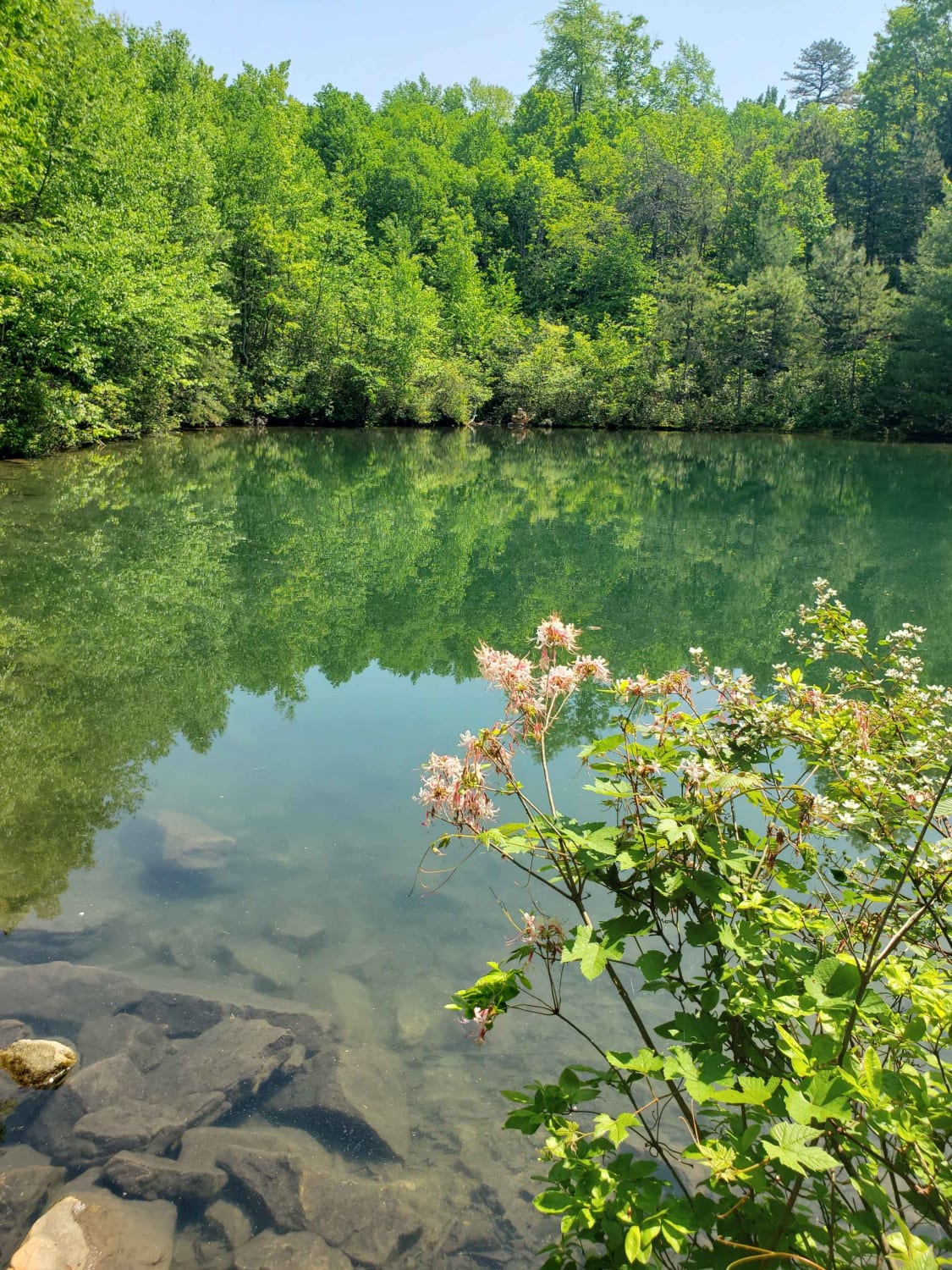
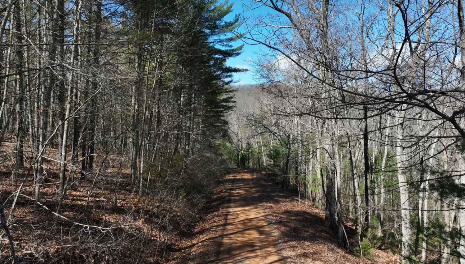
Dead end route to a mountain pond. This route gradually climbs the mountain and ends at multiple locked gates. The route has some exposed base stone and muddy sections but generally maintained gravel forest service route. The route follows a creek with several dispersed camping areas along the creek. The end has a parking area and then a short .25 mile hike to a mountain pond. Cell service is spotty in the area. Near the exit of the national forest you'll find a historic rock iron ore furnace.
Photos of Emerald Pond
Difficulty
Typically maintained gravel but elevation gain creates washouts
Status Reports
Popular Trails
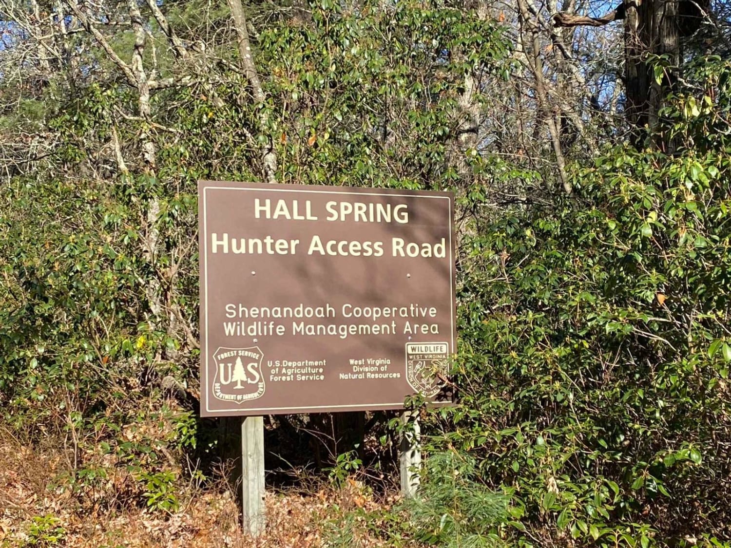
FSR #85-2 Hall Spring Road
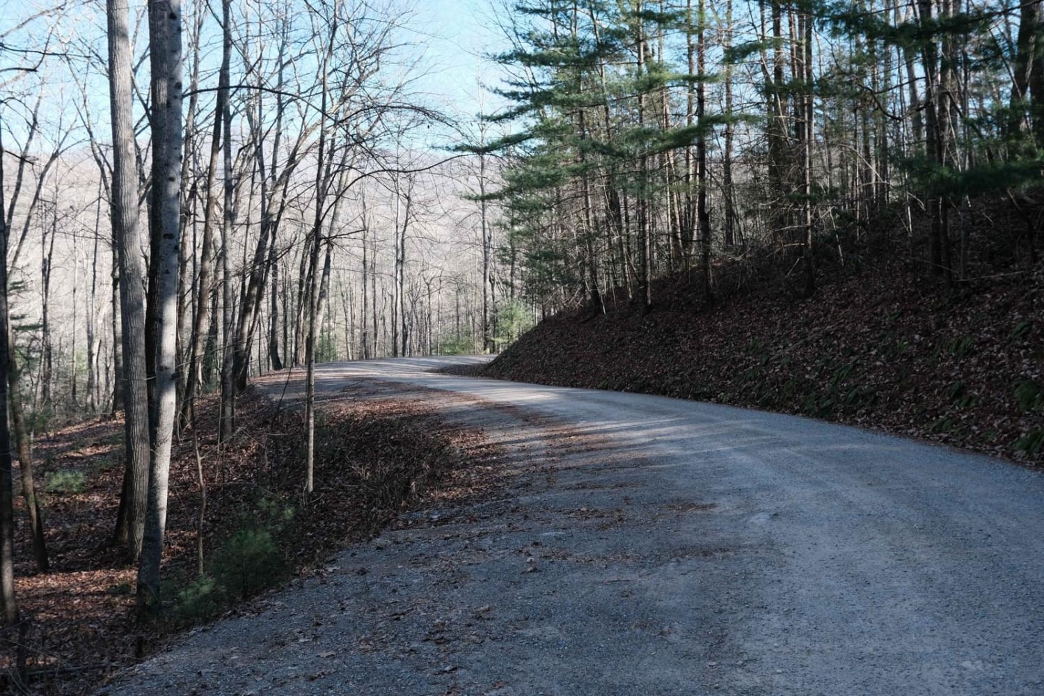
Shady Mountain Road
The onX Offroad Difference
onX Offroad combines trail photos, descriptions, difficulty ratings, width restrictions, seasonality, and more in a user-friendly interface. Available on all devices, with offline access and full compatibility with CarPlay and Android Auto. Discover what you’re missing today!
