4250
Total Miles
19.5
Technical Rating
Best Time
Summer, Spring, Fall
Trail Type
Full-Width Road
Accessible By
Trail Overview
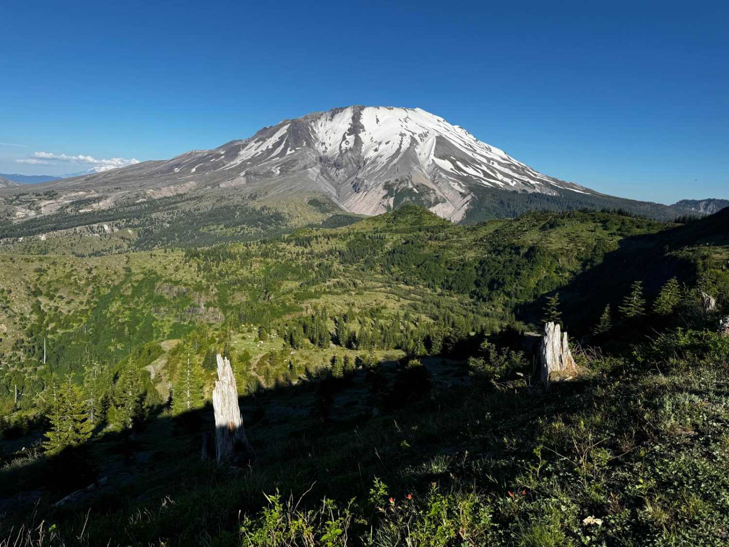
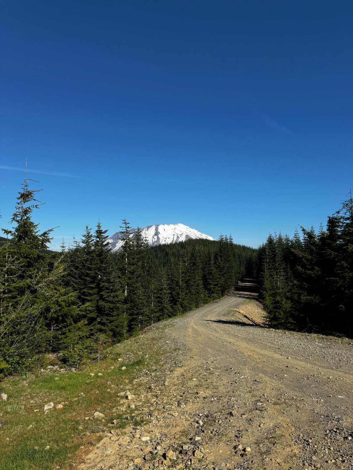
This trail is the primary east-west route in this section of public land controlled by the Washington State Department of Natural Resources and leads you to within 2 miles of the base of Mount Saint Helens, with stunning views of the debris flow area and Castle Lake. Near the east end of the route, you can find views of Cold Water Lake, Johnston Ridge Observatory, Spirit Lake which still has logs and debris in it, Mount Adams, and Mount Rainier. To the south of the trail is the South Fork of the Toutle River. The trail itself is primarily grated gravel roads, with many other trails in the area to explore that are more challenging.
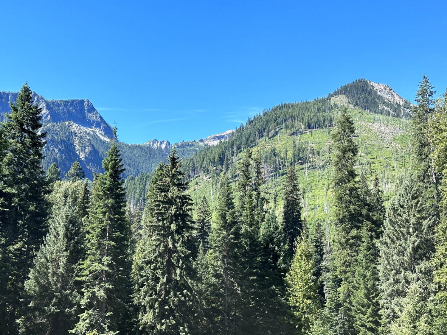
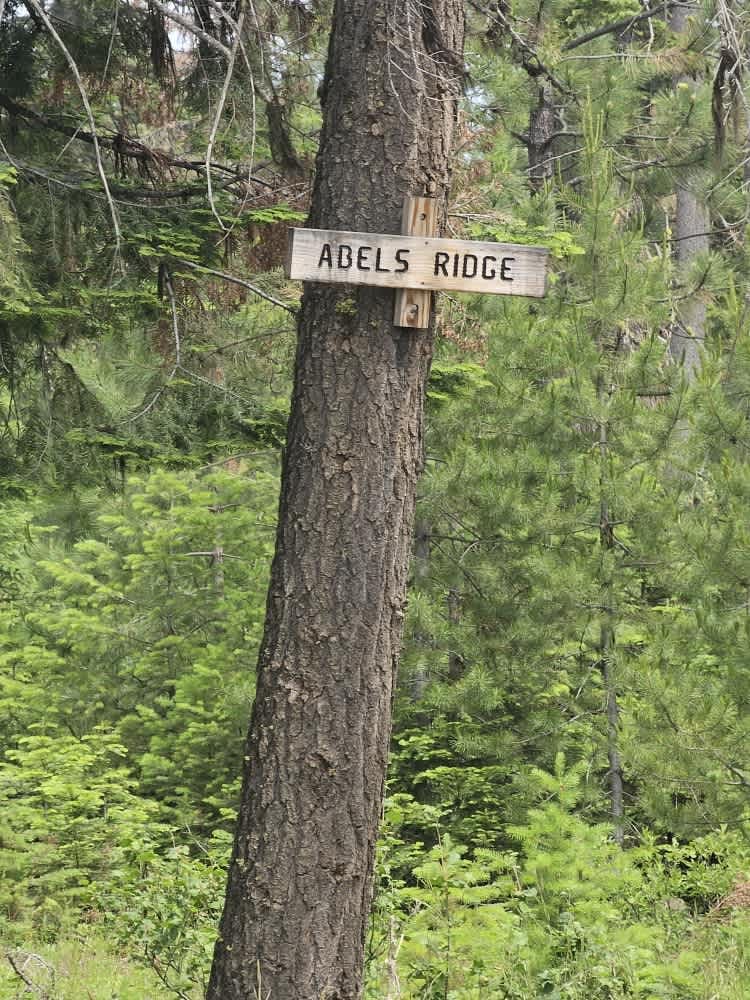
Photos of 4250
Difficulty
This trail is a primarily grated gravel road with alternate trails and off shoots that are more difficult.
Status Reports
Popular Trails

Twenty-Eight Mile Creek

Chiwawa Valley Trail
The onX Offroad Difference
onX Offroad combines trail photos, descriptions, difficulty ratings, width restrictions, seasonality, and more in a user-friendly interface. Available on all devices, with offline access and full compatibility with CarPlay and Android Auto. Discover what you’re missing today!


