DNR 8 to Elbe Hills OHV
Total Miles
8.1
Technical Rating
Best Time
Spring
Trail Type
Full-Width Road
Accessible By
Trail Overview
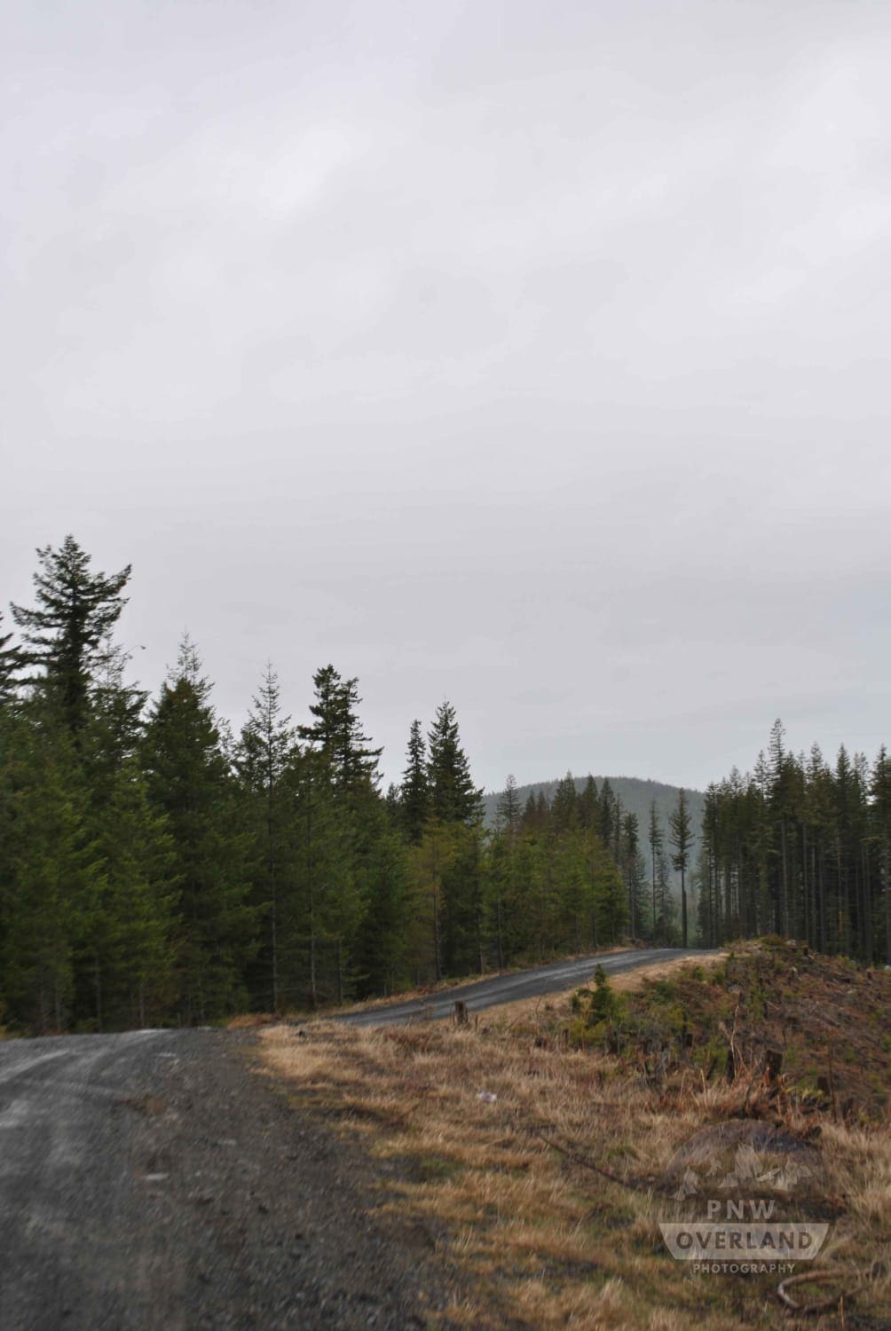
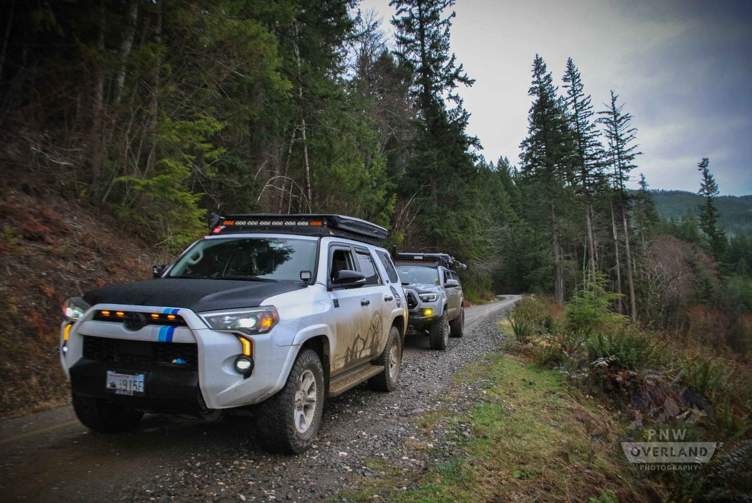
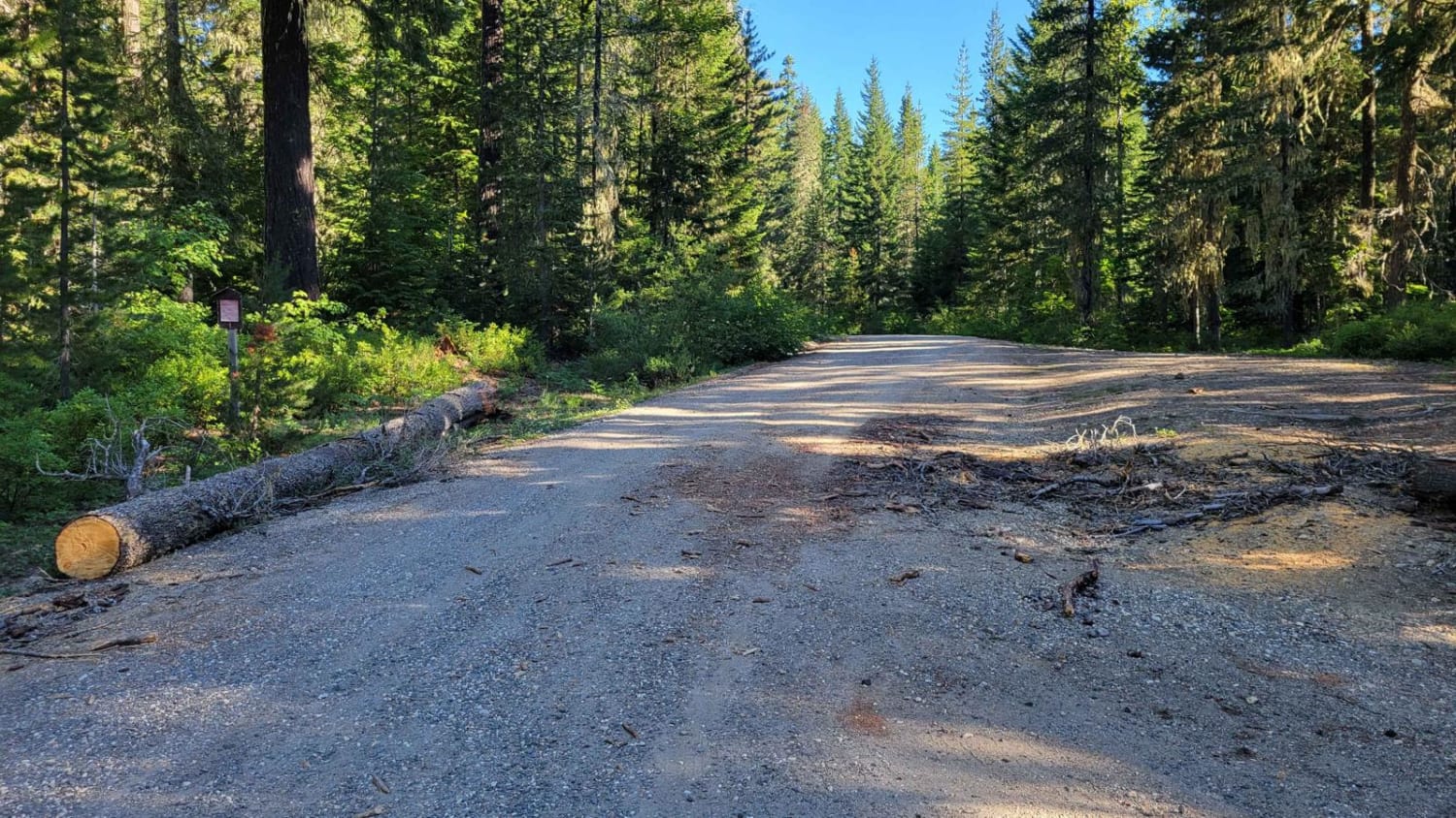
15 minutes outside of the quaint town of Eatonville, you'll find one of the locals' favorite OHV areas. This 8.1-mile trail accesses the Elbe Hills OHV Area from the west side and boasts several offshoots for dispersed camping. It has openings with amazing territorial views on a clear day, and moody photos when cloudy. The majority of the drive is smooth gravel and dirt trails, however, there are sections of it where potholes are plentiful. When paired with the heavily washboarded sections, you'll be calling your chiropractor once you're back in cell service. Despite signage along the trail clearly stating shooting is not allowed, there is obvious evidence that shooting does occur out here. Dispersed camping is allowed within the Elbe Hills State Forest. A Discover Pass is required to access and camp within State Forest land.
Photos of DNR 8 to Elbe Hills OHV
Difficulty
Potholes are plentiful and it's heavily washboarded in areas.
Status Reports
Popular Trails
Loomis Forest Nine Mile
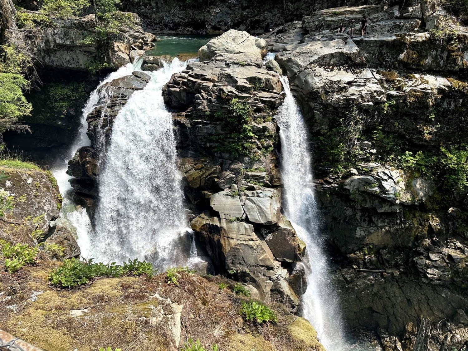
Well's Creek Road
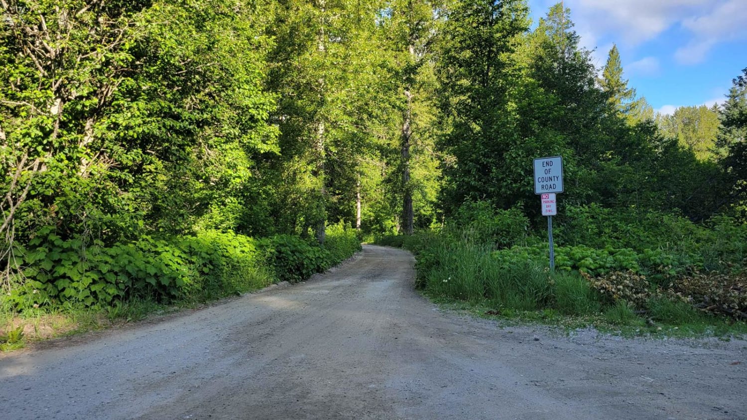
White River Road - FR 6400
The onX Offroad Difference
onX Offroad combines trail photos, descriptions, difficulty ratings, width restrictions, seasonality, and more in a user-friendly interface. Available on all devices, with offline access and full compatibility with CarPlay and Android Auto. Discover what you’re missing today!
