NF 400 - Buttermilk Butte
Total Miles
4.7
Technical Rating
Best Time
Fall, Summer
Trail Type
Full-Width Road
Accessible By
Trail Overview
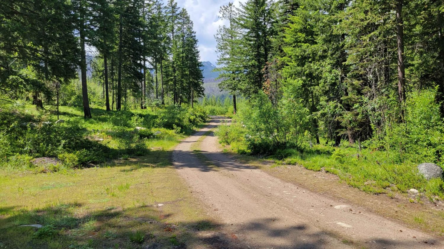
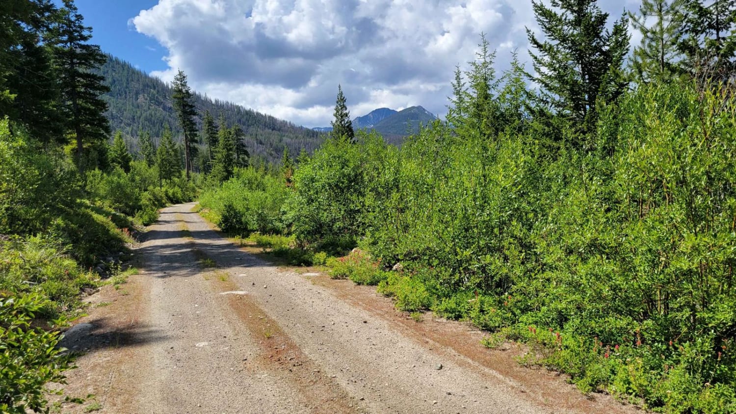
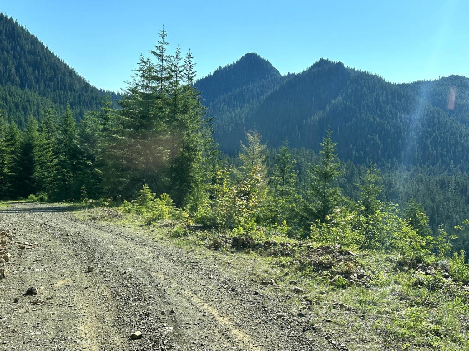
NF 400 begins as a nice, wide two-track but gradually becomes more and more narrow with vegetation overgrowth. There are sections where pin-striping for wider vehicles would occur. Erosion damage exists in a few places; a couple of which are chewing away at the trail. The East Fork Buttermilk Trailhead is three miles into the trail. Past this point, the trail is more primitive as it climbs up the hillside. Once on top of the butte, the area opens for some amazing 360 views of the surrounding forests and mountain peaks. The area is unmaintained (closed) in the winter and early spring months. No cell service.
Photos of NF 400 - Buttermilk Butte
Difficulty
The trail is a narrow two-track with overgrown sections, erosion damage, and the typical bumpy/rocky sections expected from a mountain trail.
NF 400 - Buttermilk Butte can be accessed by the following ride types:
- High-Clearance 4x4
- SUV
- SxS (60")
- ATV (50")
- Dirt Bike
NF 400 - Buttermilk Butte Map
Popular Trails

Echo Lake Road - NF 7220
Mill Gultch 4W326
Chewelah-Beaver Lodge
Church Creek Area Trail
The onX Offroad Difference
onX Offroad combines trail photos, descriptions, difficulty ratings, width restrictions, seasonality, and more in a user-friendly interface. Available on all devices, with offline access and full compatibility with CarPlay and Android Auto. Discover what you’re missing today!
