Tonga Ridge
Total Miles
19.6
Technical Rating
Best Time
Summer
Trail Type
Full-Width Road
Accessible By
Trail Overview
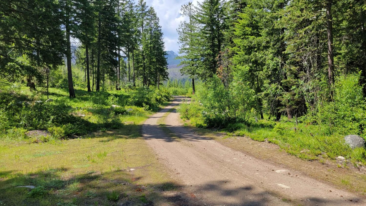
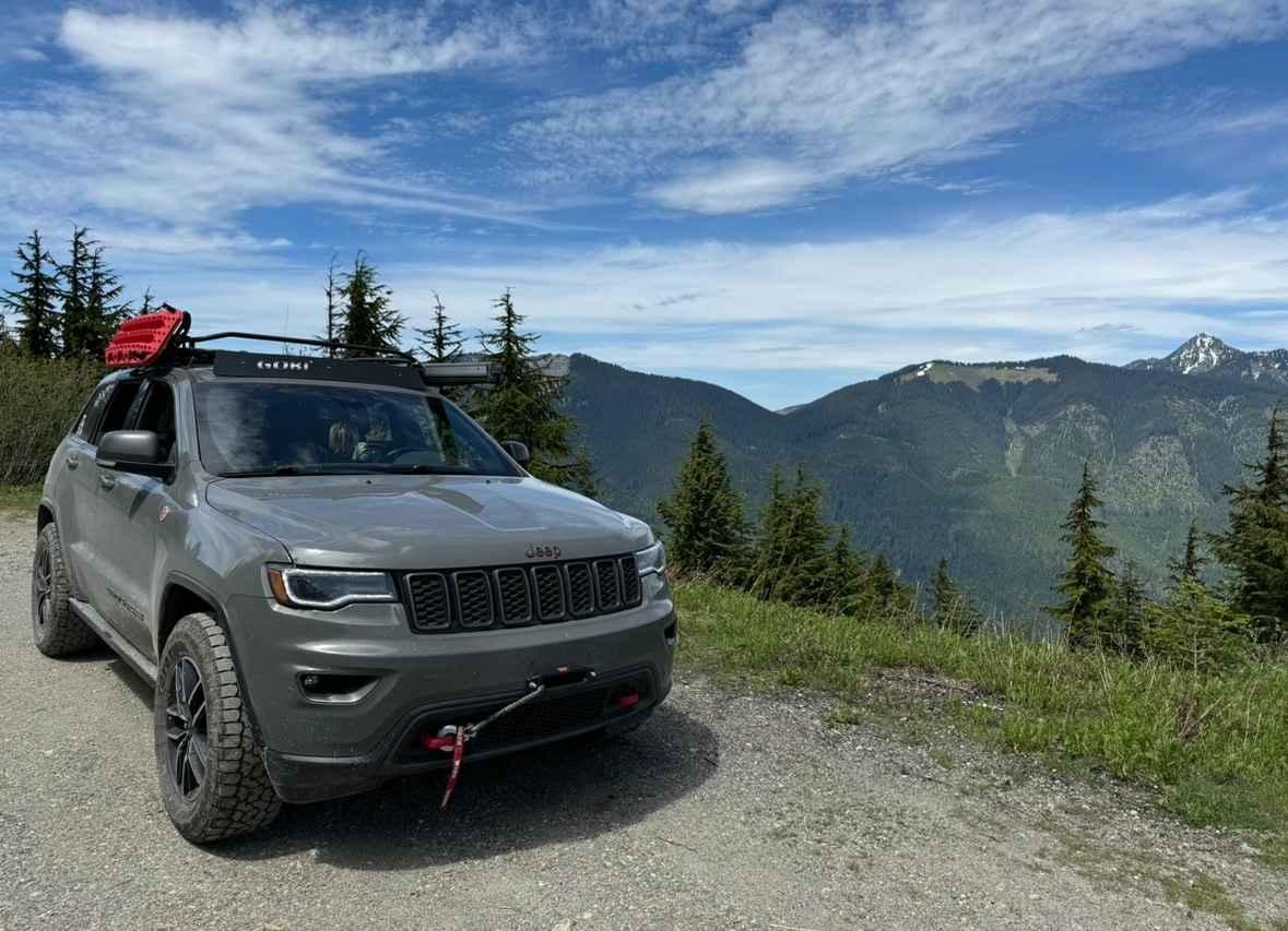
A Northwest Forest Pass is required. Tonga Ridge is heavily rutted but offers stunning beauty in both spring/summer and winter, with many smaller waterfalls to the right. There isn't anything too technical on this route when the snow has mostly melted--just some deep ruts, but you can find a line to straddle them. This is a relatively long trail but you can keep a decent rate of speed when there are no potholes. The entirety of this trail may not be passable; at mile 13, it may turn to deep slush which is challenging to get through due to being so soft and wet. Stock 4x4s and even some 2WD SUVs/trucks should be able to run this without issue when the snow has melted from most of the trail. Depending on your carrier, do not expect cellular service on this route. There is a mini sinkhole at mile 12 on the left that's 3 feet by 3 feet and about 2 feet deep. It is passable by most vehicles but extremely large trucks may not make it. This sinkhole could also get exponentially larger with time; please take care not to get too close to it to avoid prematurely increasing its size or washing out the whole road. The entirety of the trail cannot be completed until after July to allow the snow to melt at the top, but the first half will be accessible before that.
Photos of Tonga Ridge
Difficulty
Aside from potholes and heavy ruts, there are no major obstacles on this route during summer. Winter is different and this route is quite challenging unless you are heavily modified. During late spring, there may be heavy slushy snow at mile 13, and even well-modified rigs will most likely get stuck in the slush. Wait until late summer to attempt to go further.
Status Reports
Tonga Ridge can be accessed by the following ride types:
- High-Clearance 4x4
- SUV
- SxS (60")
- ATV (50")
- Dirt Bike
Tonga Ridge Map
Popular Trails

Poison Gulch Run

NF 400 - Buttermilk Butte

Sandy Saddle

CG 1500 / CG 1400
The onX Offroad Difference
onX Offroad combines trail photos, descriptions, difficulty ratings, width restrictions, seasonality, and more in a user-friendly interface. Available on all devices, with offline access and full compatibility with CarPlay and Android Auto. Discover what you’re missing today!

