Trans American Trail WV
Total Miles
20.1
Technical Rating
Best Time
Spring, Summer, Fall, Winter
Trail Type
Full-Width Road
Accessible By
Trail Overview
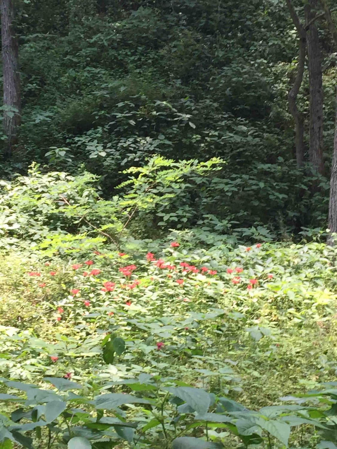
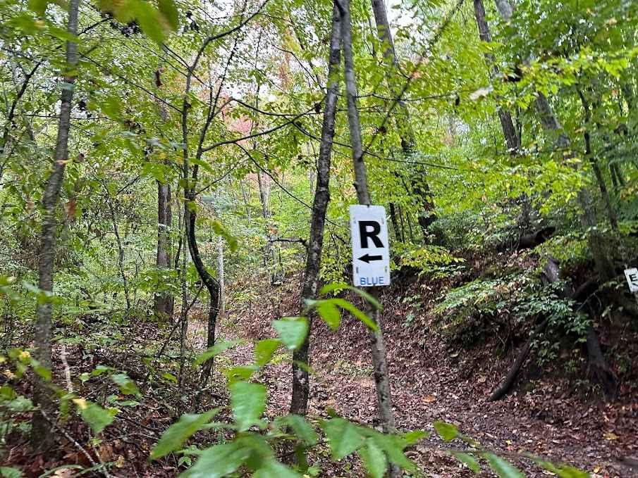
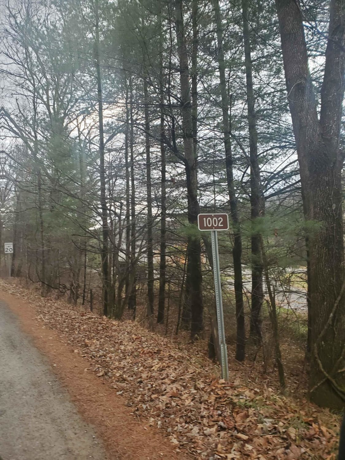
Some of the West Virginia TAT. Started in Marlington WV and went to Williams River, Planned on going all the way to Sutton WV but due to flood damage part of this trail is expected to be closed until 2023.History of the TAT The Trans America Trail is the cross-country adventure ride of a lifetime with mostly off-pavement travel. From scenic vistas and unique attractions to rough terrain and challenging conditions, the TAT presents every rider with the opportunity for an unforgettable journey and memories that will last a lifetime. Depending on the weather and location, riders may face challenges including mud, sand, snow, and rocks among others. As the trail is made up of dirt, gravel, forest, farm, and brief sections of paved roads, The TAT may be traversed using either a dual-sport motorcycle or a 4x4 vehicle.
Photos of Trans American Trail WV
Difficulty
Not bad at all, will be tricky in the winter months due to no maintenance from the state.
Popular Trails
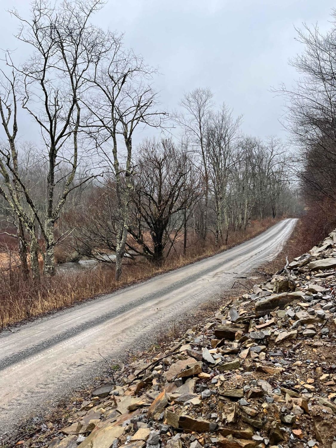
Glady Durbin
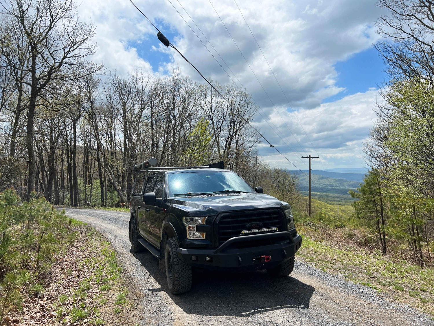
Dry Gap Ridge
Monday Lick Rd (FS1002)
The onX Offroad Difference
onX Offroad combines trail photos, descriptions, difficulty ratings, width restrictions, seasonality, and more in a user-friendly interface. Available on all devices, with offline access and full compatibility with CarPlay and Android Auto. Discover what you’re missing today!
