Goodman Park Road - FS 2136
Total Miles
10.7
Technical Rating
Best Time
Spring, Summer, Fall
Trail Type
Full-Width Road
Accessible By
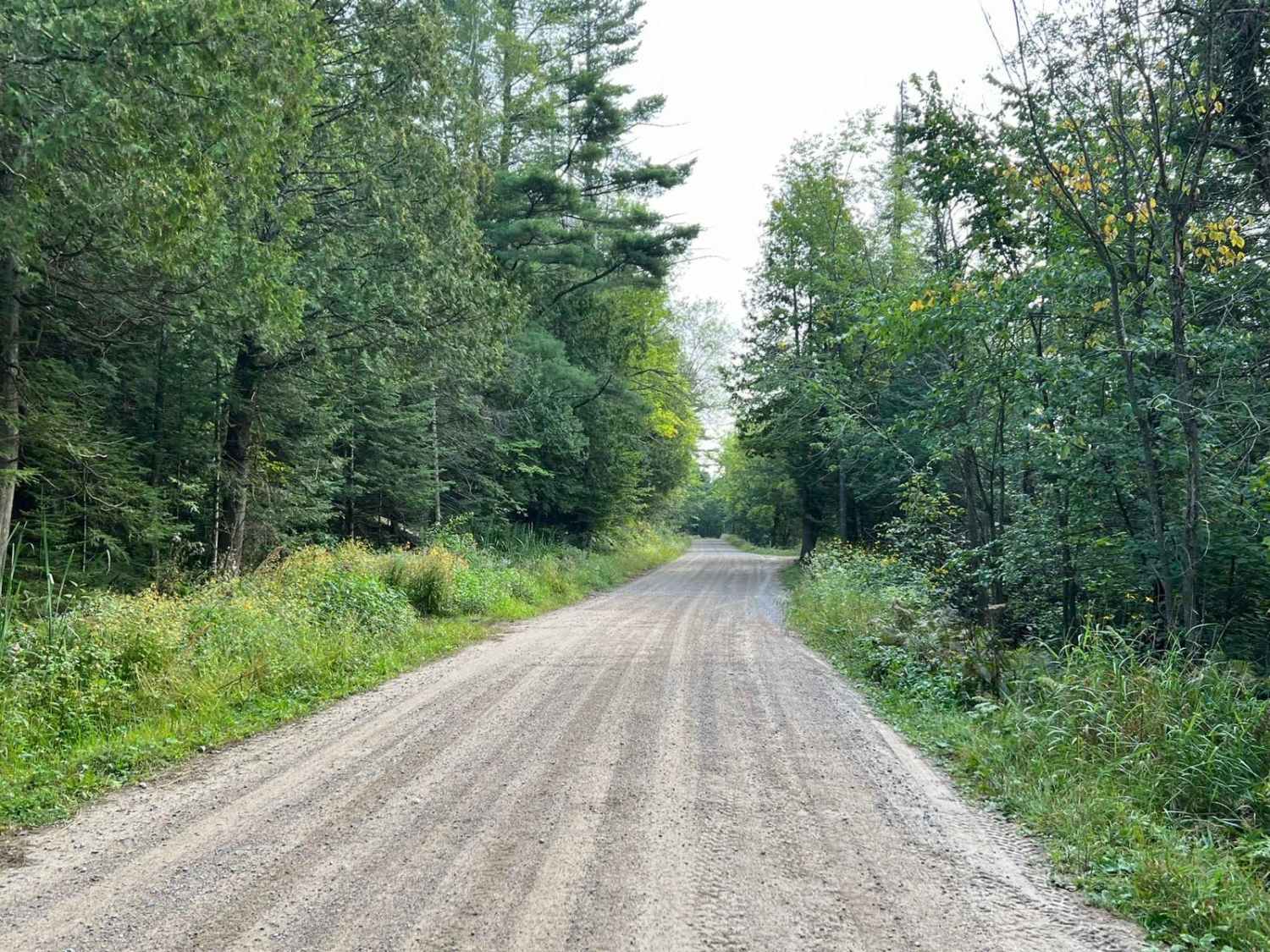
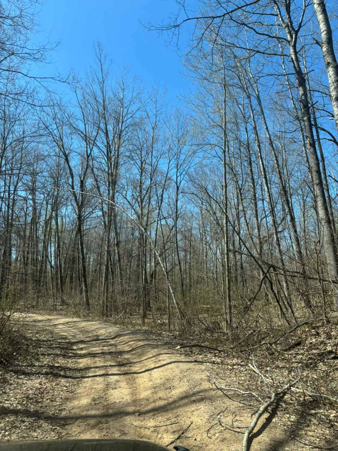
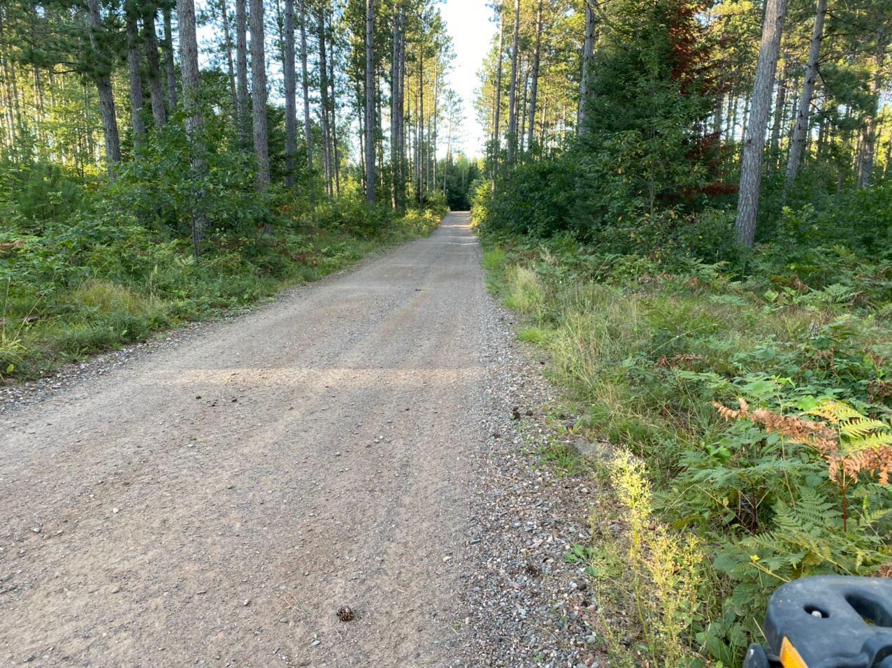
Trail Overview
This trail runs from the eastern edge of Forest County into Marinette County. It is a well-maintained forest road that is roughly two vehicle widths wide for its entirety. The scenery is excellent, once in Marinette country, this trail will follow alongside the Peshtigo River for approximately 3 miles. This can allow for some amazing views of the river and rapids throughout. Several clearings alongside the river on the shoreline could be used for fishing or camping. Located roughly one mile east of the Marinette Forest County line, there is a Christian shrine called the Shrine Of The Lost Hunter. This trail has several other trails, and trail systems that intersect it. There is also a forest Campground located off the trail.
Photos of Goodman Park Road - FS 2136

Difficulty
This trail is a great beginning trail for new riders, as well as a great access point for more experienced riders looking for access to other trails. The trail is two vehicles wide for most of its entirety. With long sweeping corners and gentle grades throughout. There is little in the way of trail obstacles that would need to be traversed. This entire trail has woods on either side so there is always the possibility for a downed tree after a storm.
History
The Story of the Shrine Of The Lost Hunter takes place in the 1940s. A Hunter who had ventured into the woods and become lost prayed to the Saint Mary Immaculate Conception to help him find his way home. If he was able to return home he would build a shrine in her honor. He was able to find his way home, after which he then began construction on the shrine.
Status Reports
Goodman Park Road - FS 2136 can be accessed by the following ride types:
- High-Clearance 4x4
- SUV
- SxS (60")
- ATV (50")
Goodman Park Road - FS 2136 Map
Popular Trails
Forest Road 2267
Cattail State Trail: Turtle Lake to Almena

Indian Market Road - FS 2139
The onX Offroad Difference
onX Offroad combines trail photos, descriptions, difficulty ratings, width restrictions, seasonality, and more in a user-friendly interface. Available on all devices, with offline access and full compatibility with CarPlay and Android Auto. Discover what you’re missing today!