West Elcho
Total Miles
5.6
Elevation
536.54 ft
Duration
0.5 Hours
Technical Rating
Best Time
Spring, Summer, Fall
Trail Overview
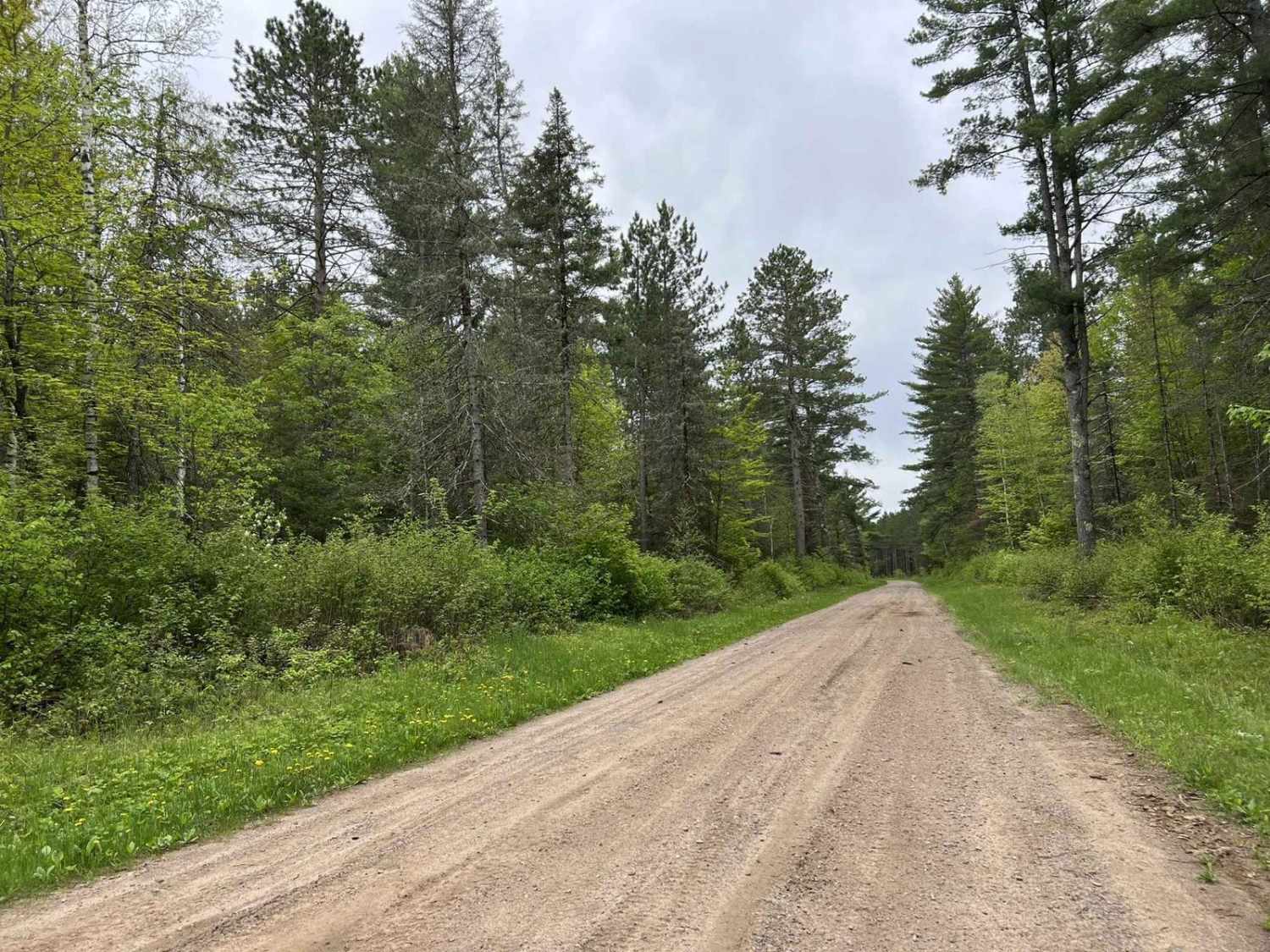
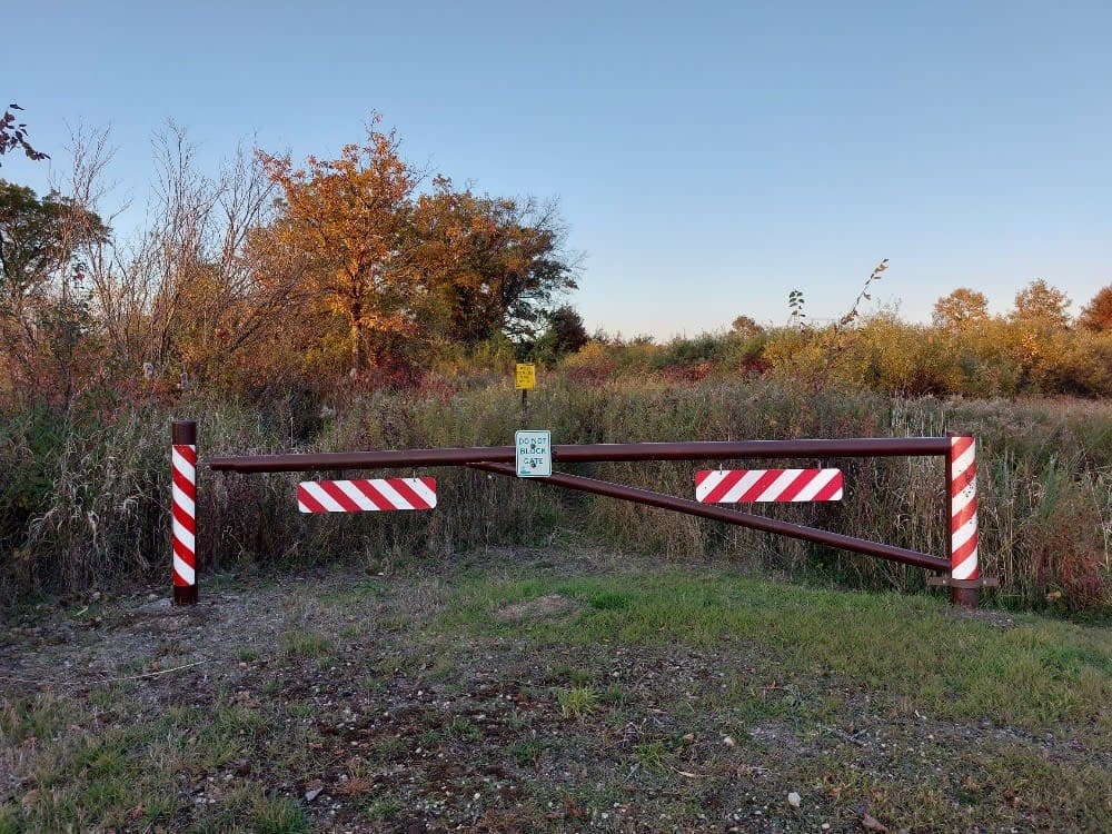
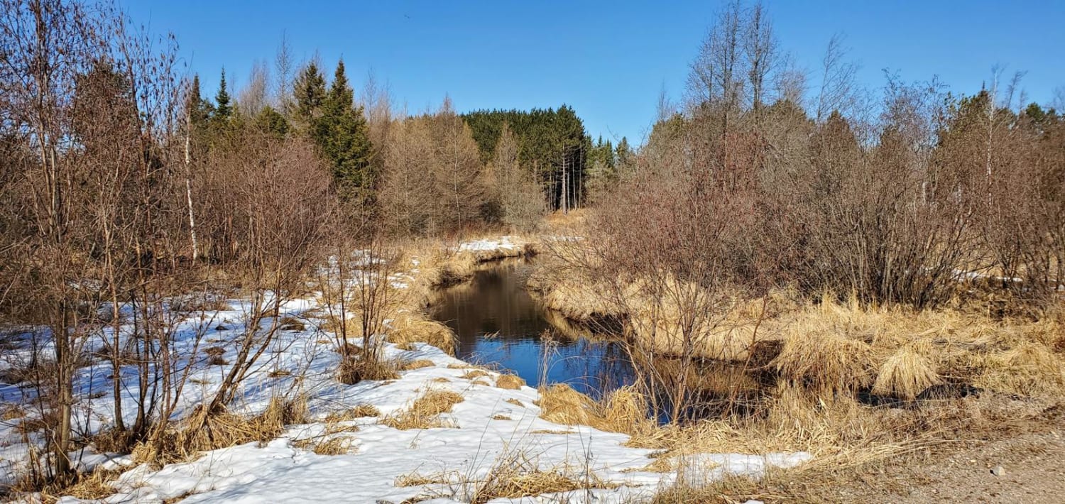
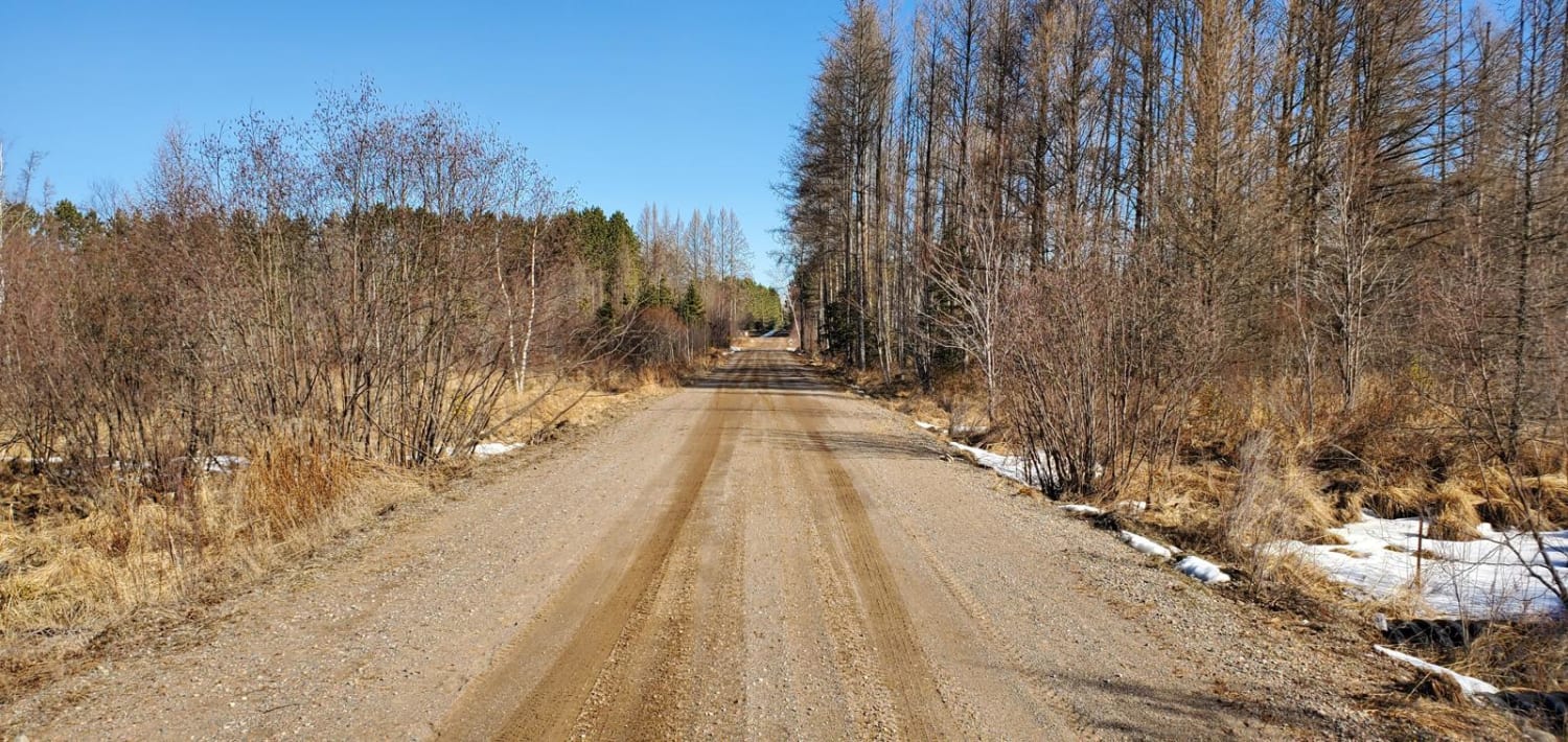
Beginning at County Road T trailhead, the West Elcho Trail runs north and south with many branches that can be taken. Mostly dirt road crossing low spots that will flood over the trail in the spring or with heavy rain. The ground will be soft in those areas, so slowing down will help prevent erosion. Cell phone service is spotty on the trail. The trailhead side is about 3.5 miles from Summit Lake, while the north end will be about 7 miles from Elcho, and can be accessed by road the entire way to town.
Photos of West Elcho
Difficulty
The majority of this trail is easy, with some other scenic and difficult trails that branch off of it. This is a main trail that provides access to much more of the area after leaving the trailhead.
Status Reports
Popular Trails

Double Bend FR 2166

McArthur Pine FR 2167

Indian Market Road - FS 2139

Dead End Road
The onX Offroad Difference
onX Offroad combines trail photos, descriptions, difficulty ratings, width restrictions, seasonality, and more in a user-friendly interface. Available on all devices, with offline access and full compatibility with CarPlay and Android Auto. Discover what you’re missing today!

