Dry Fork
Total Miles
6.8
Elevation
2,359.85 ft
Duration
0.5 Hours
Technical Rating
Best Time
Summer, Fall
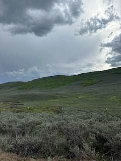
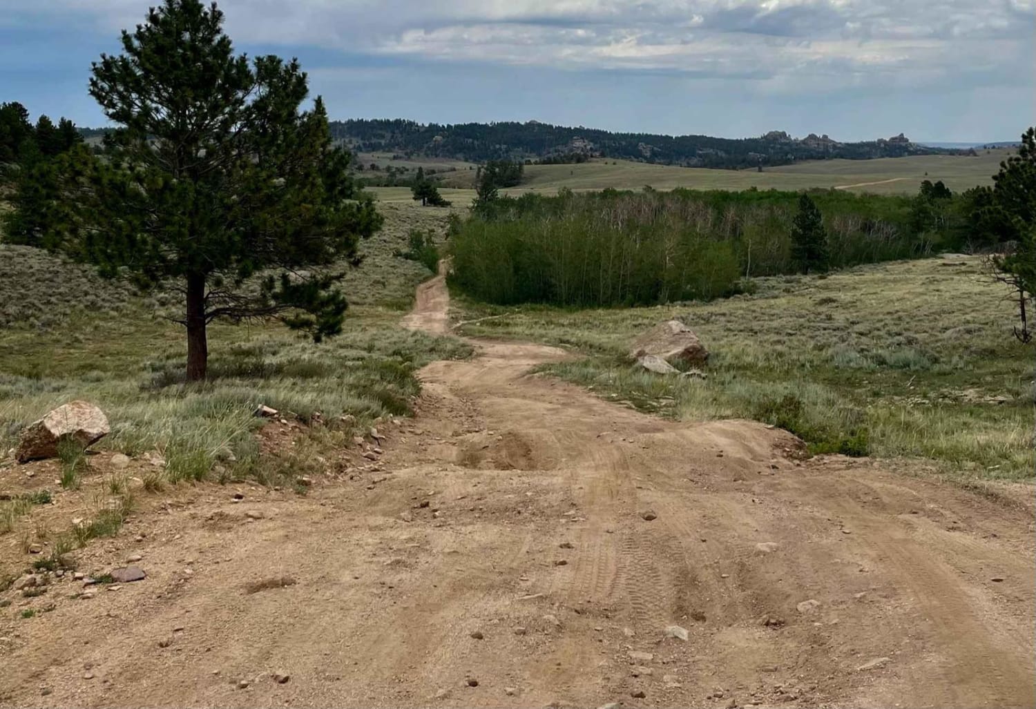
Trail Overview
This is a scenic trail with beaver ponds along the way and the occasional beaver sighting. The trail has been redone by the Forest Service, which dropped the technical rating from a 5 to a 1. Traveling from Bridger National Forest to BLM land, this trail has a few really nice side trails along the way. There are a couple of water crossings as well.
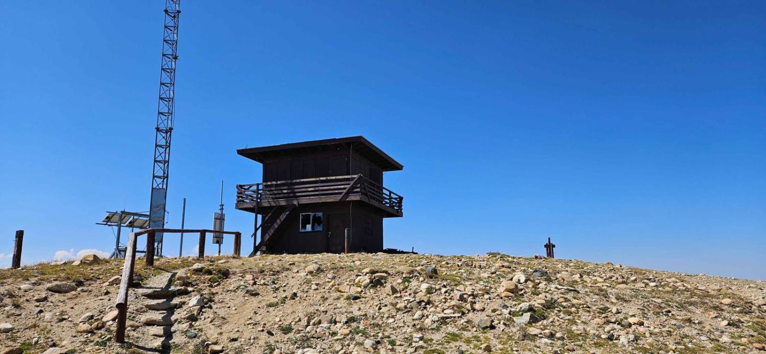
Photos of Dry Fork
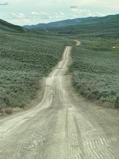
Difficulty
Most of this trail is a 1 or 2; there are just a few areas where you have to pay attention and pick your line.
History
You cross the part of the Lander Trail.
Status Reports
Popular Trails

Cascade North Twin

Nickle Creek
Twin Mountain Trail
The onX Offroad Difference
onX Offroad combines trail photos, descriptions, difficulty ratings, width restrictions, seasonality, and more in a user-friendly interface. Available on all devices, with offline access and full compatibility with CarPlay and Android Auto. Discover what you’re missing today!